This route was inspired by some of the research I made for my last newsletter and Doug Artman’s route the Sagebrush Ripple. From the Raine’s Market website there was an entry about Pritchard’s Station and a cross-reference with Atlas Obscura’s entry on the stagecoach route between Eureka and Tybo. My understanding is Pritchard most likely had a contract for US mail delivery between Palisade, Eureka and Tybo with stops at Fish Creek Ranch, Pritchard’s Station, Hick’s Station (?), Moore’s Station, Hot Creek Ranch, Keystone (?), and Tybo – then onto Belmont. Pritchard is also credited with the stagecoach service between Palisades and Pioche but that is a route for a later trip.
With this lore I plotted out a route on Ride with GPS to include these points. I left out Hick’s Station but inserted a few canyons in the Hot Creek Range that included charcoal kilns that supplied the mill at Tybo with critical fuel. I had an idea of the area from the Sagebrush Ripple, the road between Moore’s Station and Hot Creek Ranch would be familiar. That 25 mile stretch had 3 good water sources and some of the best views of the Hot Creek Range. Six Mile and Four Mile Canyons were on my list of canyons with charcoal kilns to explore.
South of Hot Creek Ranch I was curious about Keystone then Tybo. I decided to make a loop at Tybo over the Hot Creek Range and descend Kiln Canyon into East Stone Cabin Valley. Again the route had some overlap (1 mile) with Sagebrush Ripple at the top of Hot Creek Canyon. The route went through Box Canyon before it emptied into Little Fish Lake Valley. The route then climbs a high saddle between the Antelope and Monitor Ranges before dropping into Antelope Valley. The route is 235 miles with 11,900’ of climbing between 5,500’ and 7,900’. I planned on 5 days with the first and last being shorter to include drive time from Carson City and Eureka.
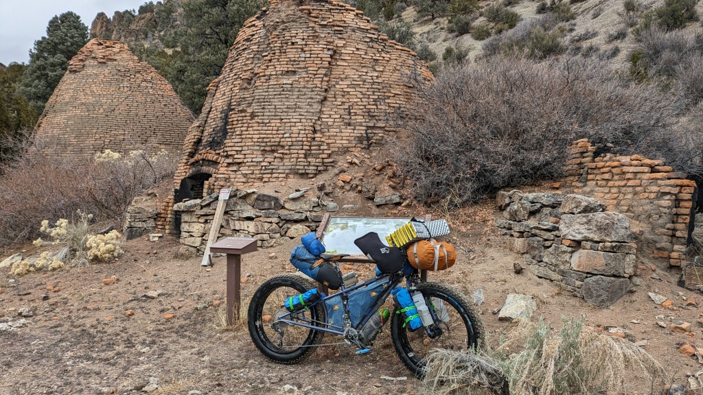
I loaded my Meriwether long-tail fat bike for this trip. I ran the Vee-Rubber studded Snowshoe XL tires. These tires check all the boxes for the widest range of surfaces from paved to packed dirt (low profile ramped knobs), sand, rock, snow (large volume 4.8” and durable), ice (studded), and mud (wide spaced mud shedding knobs). The extended frame and fork have all the mounts for cargo and water. I packed 3 L of water and 5+ days of food. I carried my North Face Stormbreaker 1 tent because I really like the small foot print. I packed my fears in two stuff sacks of warm dry clothes, that I never opened. The only thing I carried that I wish I left behind was my chair. I don’t sit around camp. Ride, Eat, Sleep, Repeat! Something like that.
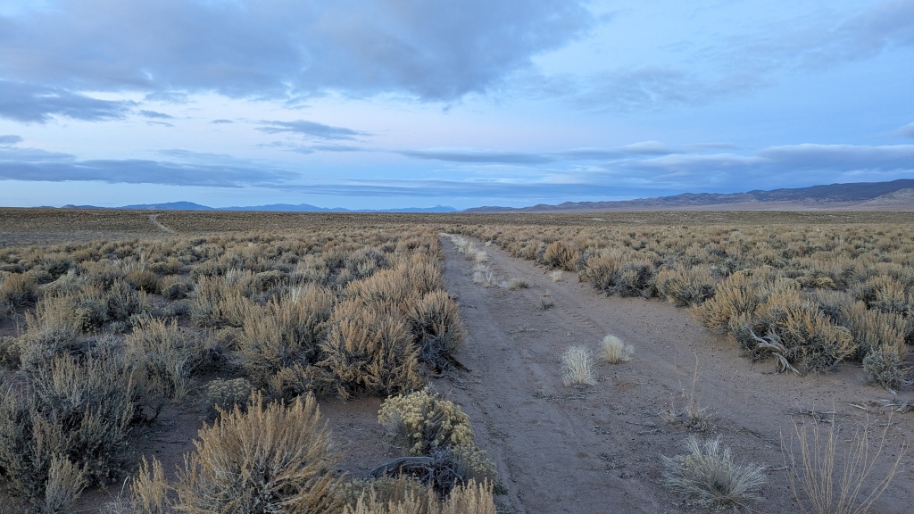
Day 1 Rolling out on paved Duckwater Road was a good warm-up but I was so happy to turn onto the gravel Fish Creek Ranch Road. Fish Creek was a historic stage stop. From there I turned off onto a grass (sagebrush) up the middle two track that proved tricky to follow. But I made it through the Little Smoky Valley between the Fish Creek and Pancake Ranges. A herd of pronghorn antelope (I always think, American Speed Goat, Antilocapra americana) entertained me with two high speed passes. I ended the day at dusk finding a nice sandy patch to pitch my tent.
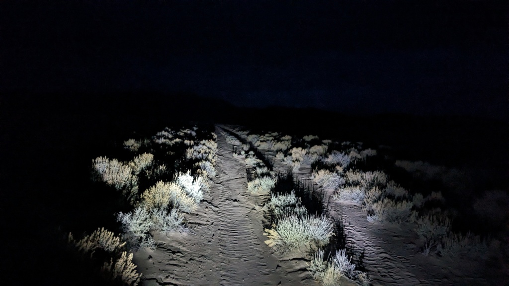
Day 2 The days are short making for long nights in the tent and early starts in the dark. For winter trips I carry a closed cell foam pad and inflatable sleeping pad (both ThermaRest). I have an insulated “top sheet” from Klymit that has a pillow flap. I sleep in the Patagonia ½ sleeping bag with a Sea to Summit synthetic quilt. The modular system sounds complicated but the pieces can keep me comfortable between 0o and 70o, which is the low temperature range for my area. I prepped my meals in the tent vestibule.
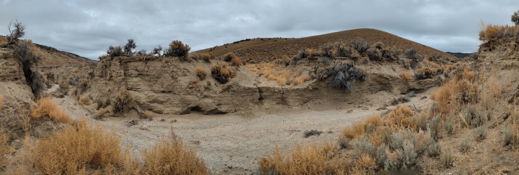
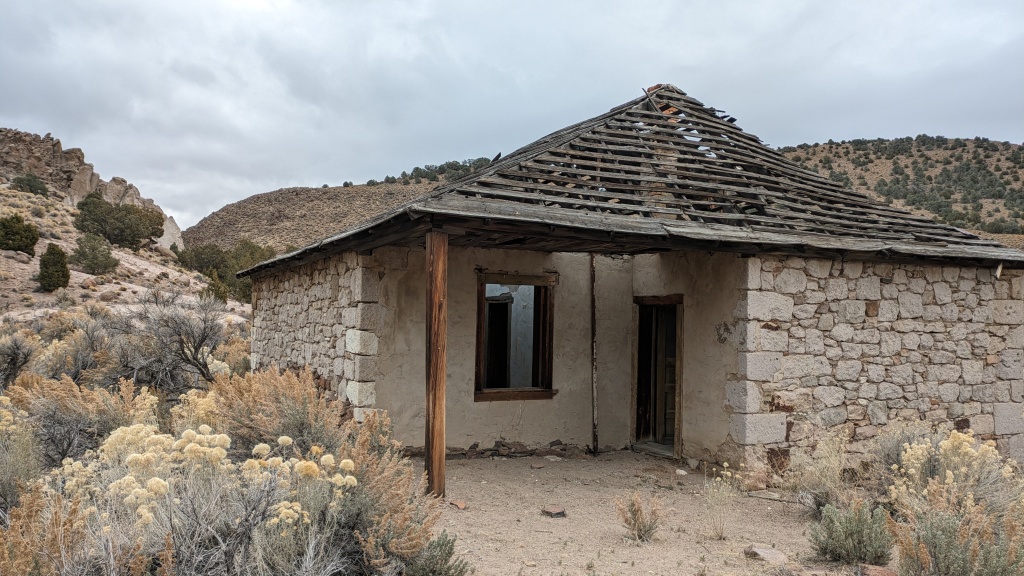
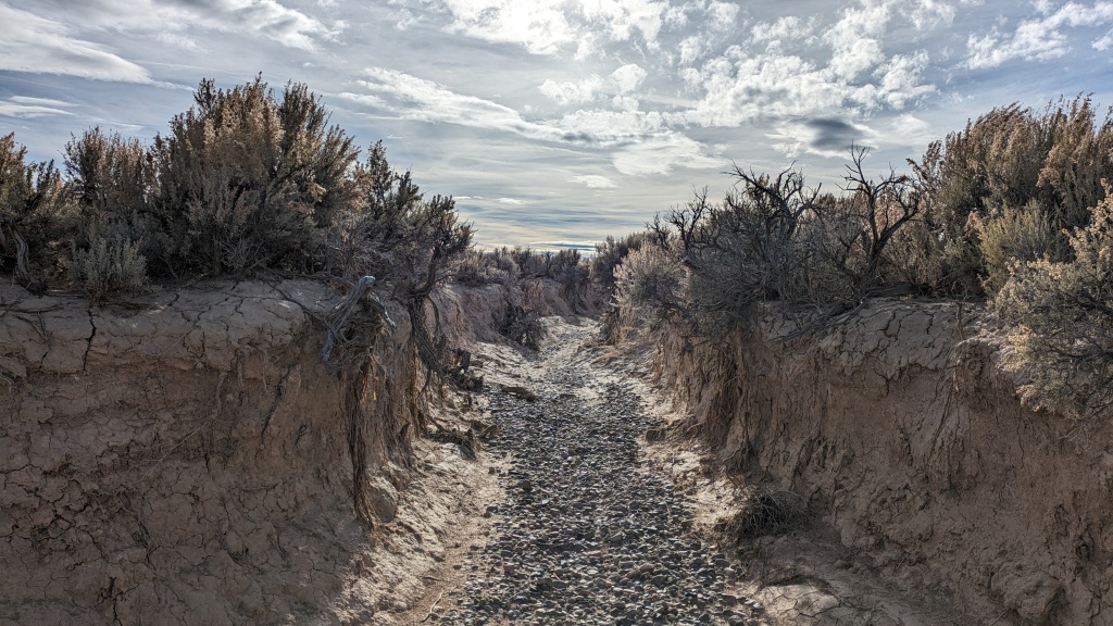
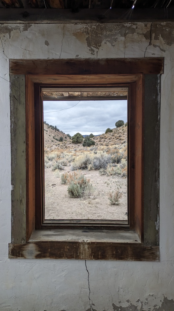
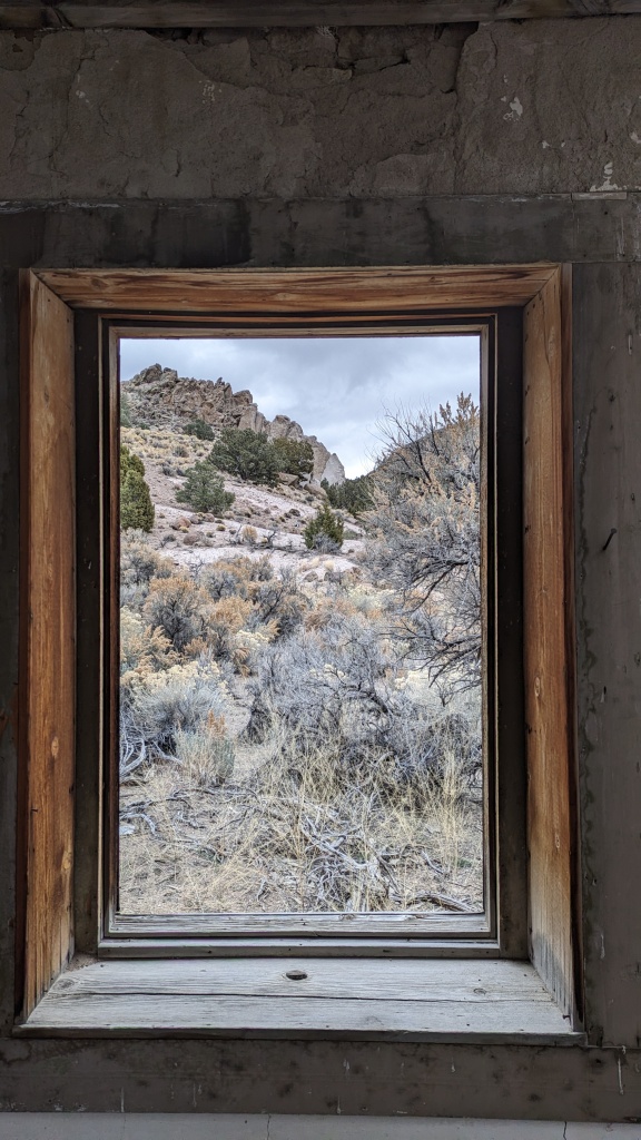
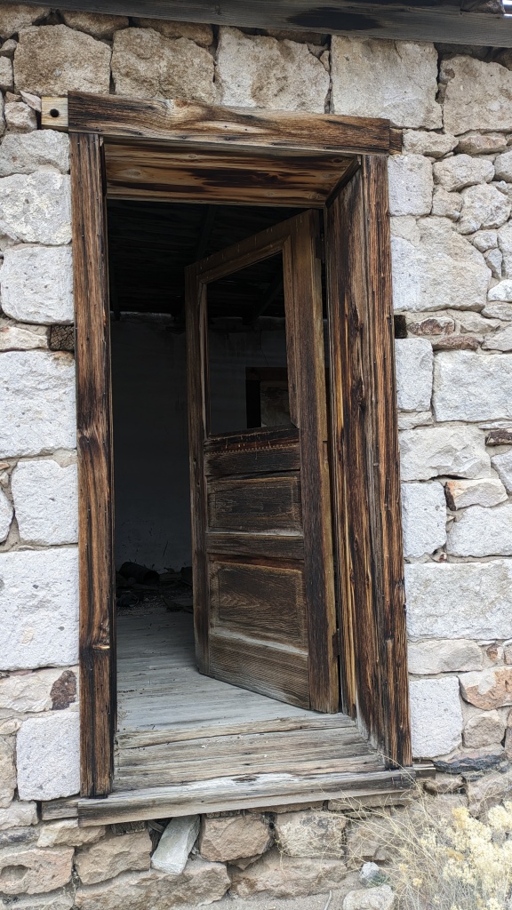
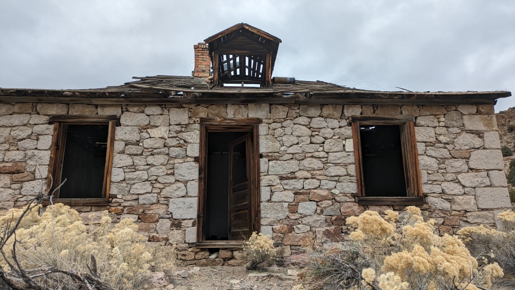
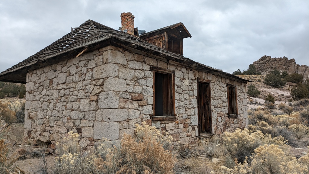
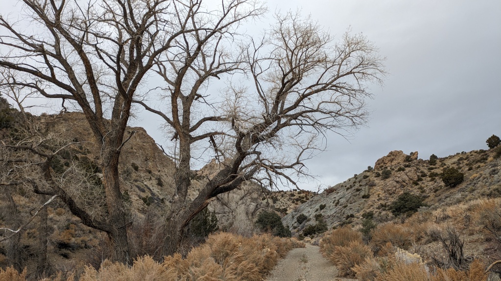
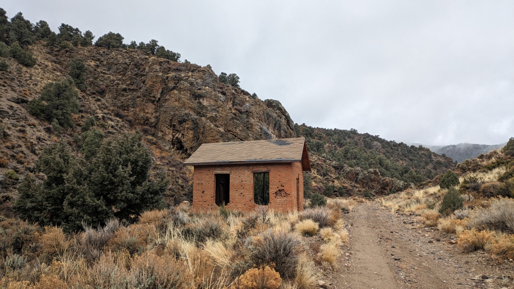
Pritchard’s Canyon between the Park Range and Andesite Range had my first major washed-out road. I found where the cows crossed and made it through. Pritchard’s Station was an impressive building. It is hard to imagine the stagecoach business of 2,000 mules and 500 wagons. Pritchard’s Spring was the first water since Fish Creek Ranch.
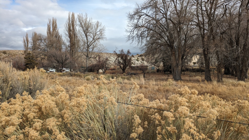
The next stop was Moore’s Station. I was there 2 months ago, the scene had changed from fall colors to bare winter. The weather was threatening rain. I considered the 3 canyons I was planning on exploring. I decided to pick 1, Six Mile – the short route to the charcoal kilns.
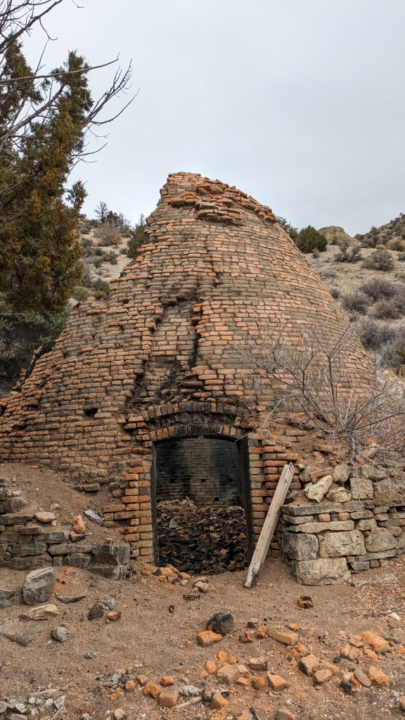
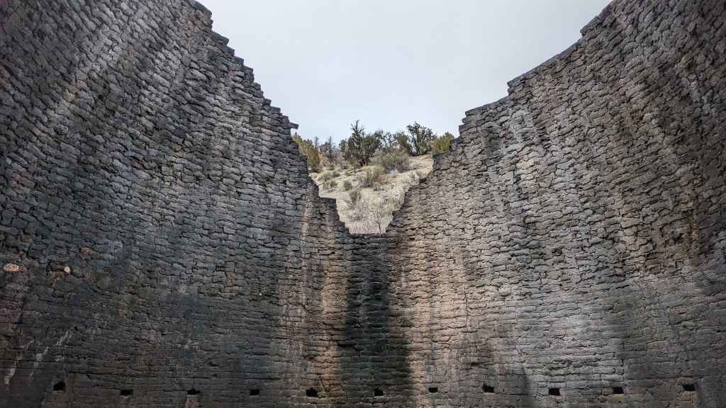
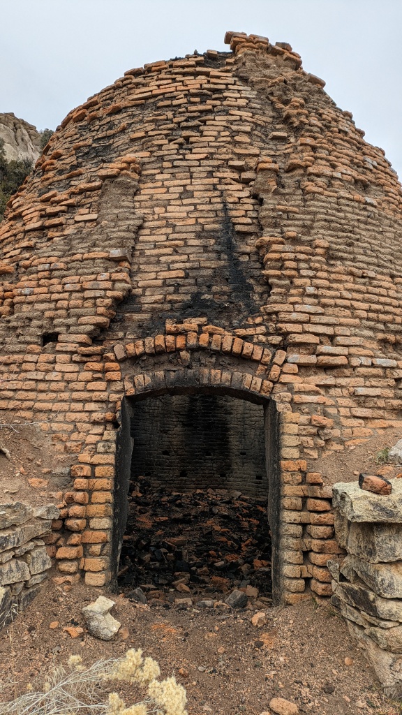
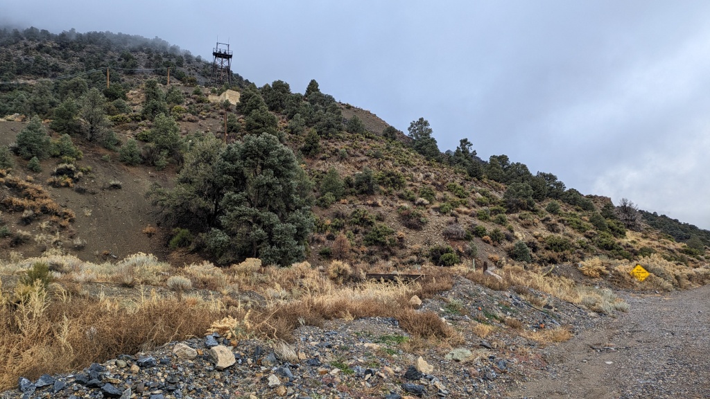
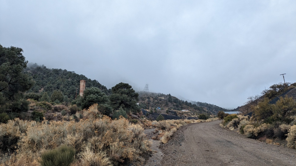
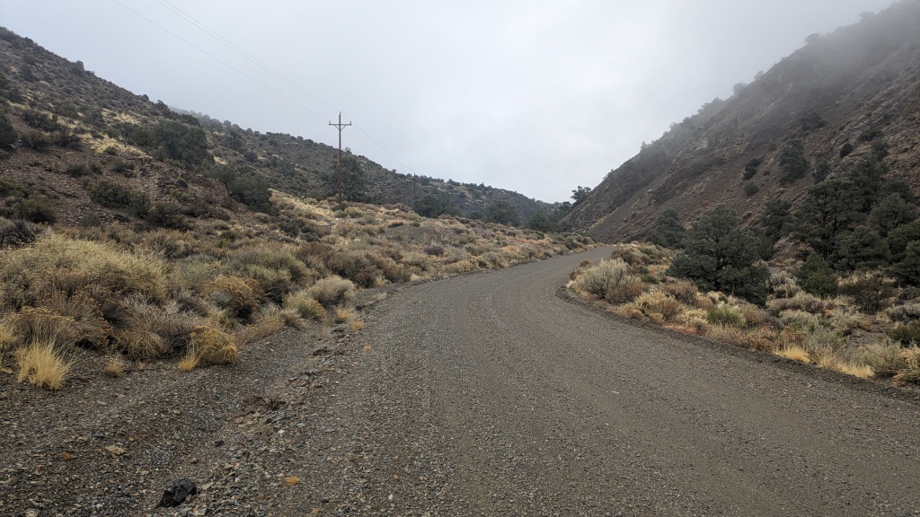
Six Mile started with warning signs about the road being washed out. Vehicles not recommended, ATV’s questionable. I thought to myself, “perfect for fat bikes.” It was a great canyon in a beautiful pinyon-juniper forest. It was about an hour’s climb until the kilns came into view. There were several creek crossings, spots where the creek and trail were one, and patches of ice that were of no consequence thanks to the studded tires. The kilns were cool. The interpretive signs explained the yield of timber in the p-j forrest that stoked the kilns to make the charcoal that powered the mill at Tybo that produced the silver that enriched the US Treasury in the late 1800’s. The Humboldt-Toiyabe National Forest has earned our respect!
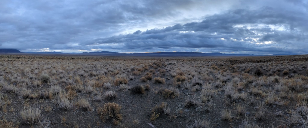
The downside to climbing Six Mile, though only about 3+ miles of it, late in the day was getting sweaty without the powerful sun to dry out one’s clothes. No matter, a light rain was beginning to fall. Now the debate to put on a rain jacket or not occupied my thoughts. Keep riding or make camp, miles today are a buffer for unknown conditions tomorrow. After topping off my water, I passed Four Mile Canyon, Hot Creek Ranch, and Keystone. I saw my first vehicle, a truck going to Hot Creek. As the skies got darker I decided to make camp. I was buttoned up for the night by 4:30. The rain continued until 2:30 am. If rain means mud, in Nevada that is a sticky, slippery combo that will stop your bike solid with pounds of gunk. You will be pushing and pulling your bike with inches of mud on your shoes. I wasn’t expecting this rain as early or as long in the trip. Now the debate was go on to finish the route, 135 miles of unknown or turn back for 85 miles of unknown conditions. I considered going to Tybo, re-evaluating as I went, AKA not deciding.
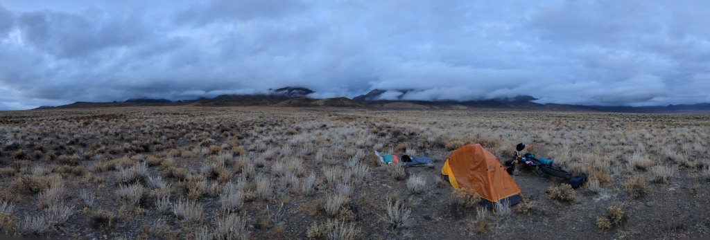
Day 3 Waking to not having the pitter-patter of rain on the fly was a plus. I reached my fingers out of the fly to see if it was wet. Yep, I’ll be packing a wet tent. Nevada bikepacking doesn’t prepare you for rain. Outside didn’t seem bad. The soil seemed more sandy than clay-y. Not much was sticking to my boots. On to Tybo! Rolling out my tires weren’t picking up anything so all was good. Looking around there were still plenty of dark clouds but I focused on patches of blue, both real and imaginary.
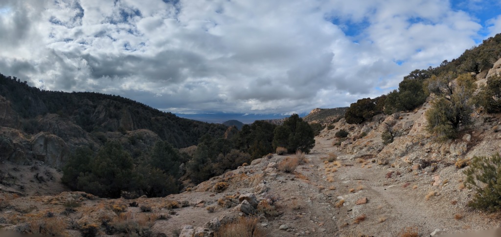
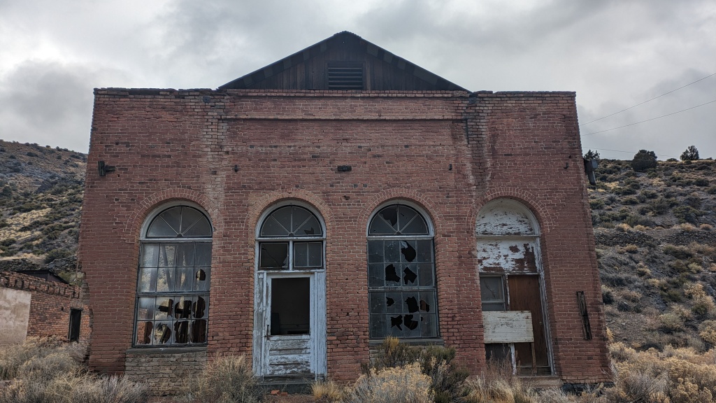
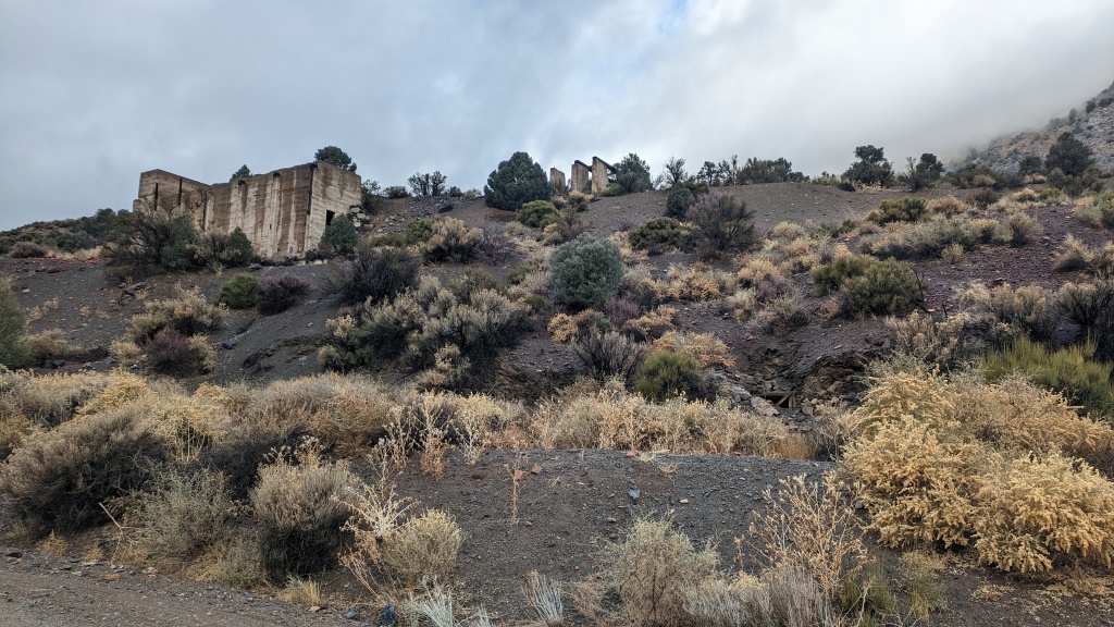
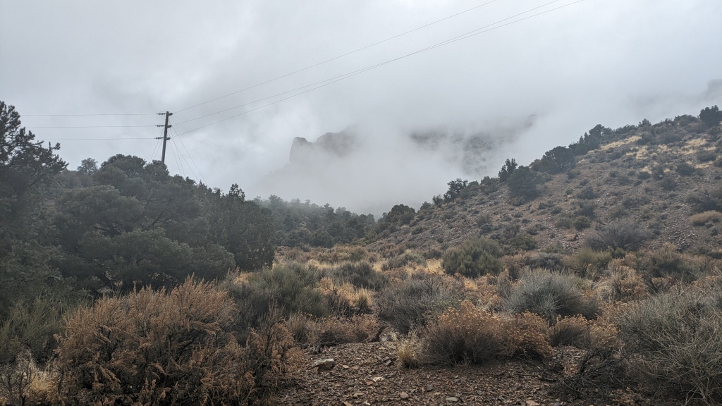
The road to Tybo from the north was almost as imaginary. Leaving a well graded road for a lesser one, I often overshoot and have to rely on my GPS for clues. It was slow going but I eventually made it into the canyon. With the low clouds, damp ground and rocks, and green albeit thin forest I could have tricked myself that I was in Oregon or Middle-earth. After about an hour’s climb I made it to Tybo, relatively speaking there was a lot going on! There looked to be a couple residents with a handfull of cars with less than a handful of windshields. The relicts and ruins were dispersed among current mining operations. Once I was through the town, the road was posted that it was minimally maintained without turn-arounds. These are the signs we live for!
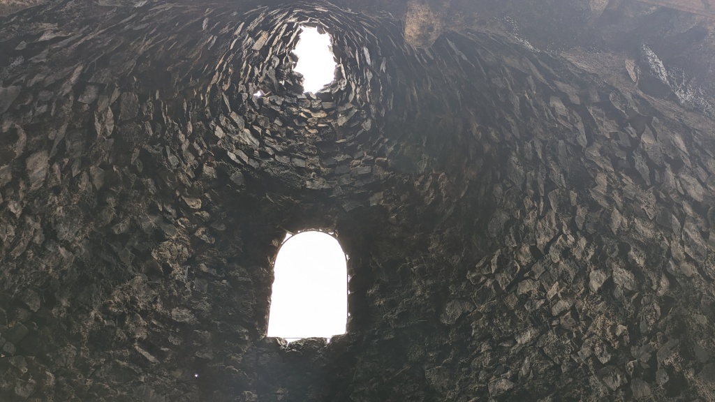
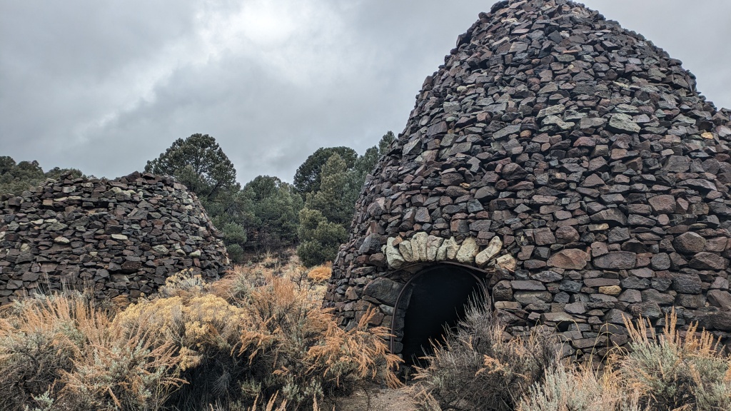
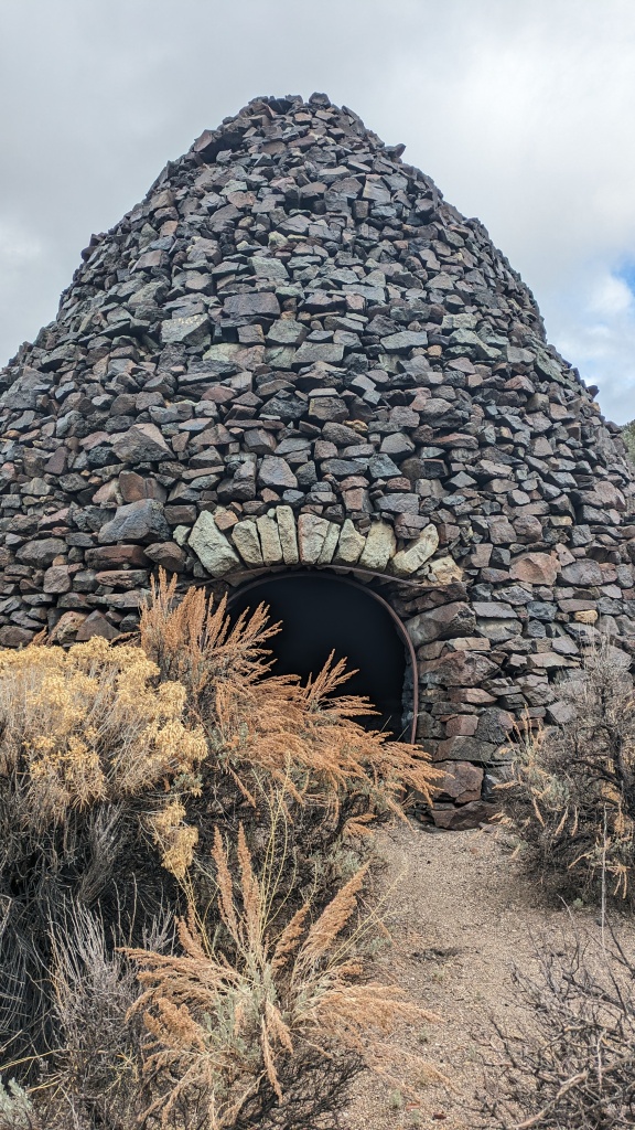
After the 2 mile approach to the canyon it climbs another 7 miles, for 2,200’, topping out at 7,860’ or so. Tybo Creek was mostly dry. But at sometime there was enough water to cause several washouts and reroutes. There are a handful of mining claims being worked, though I didn’t see anyone out. About 2 miles above Tybo were a pair of kilns with a metal arch creating the door. Navigation was a little tricky even with GPS as it was easy to confuse road and creek, plus there are user-created trails and re-routes. As the terrain got steeper I was pushing the bike over bed rock. It reminded me of the most difficult passes in the Sagebrush Ripple. In the back of my mind I was wondering what I would find on the west side of the range – a wall of rain?
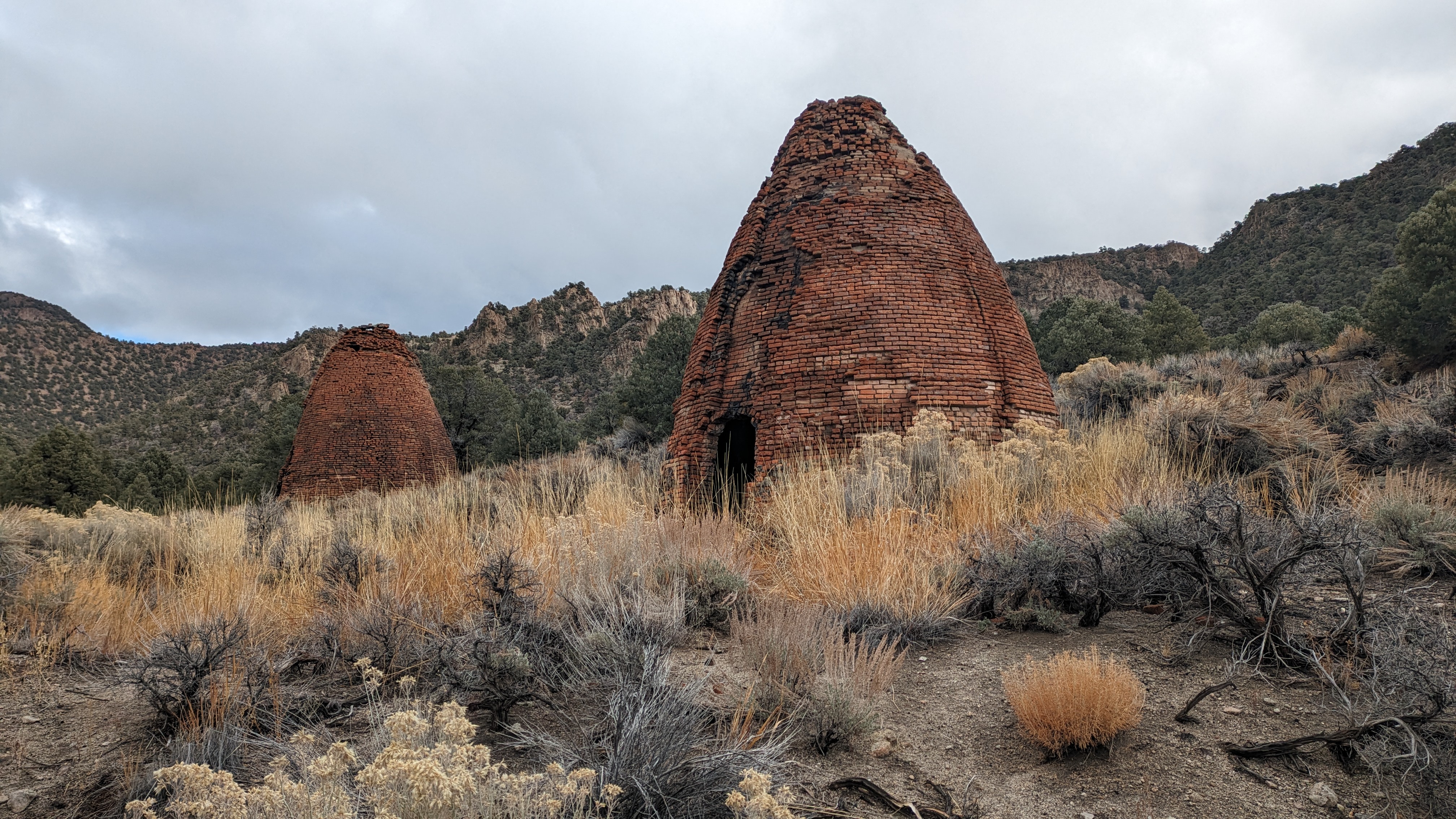
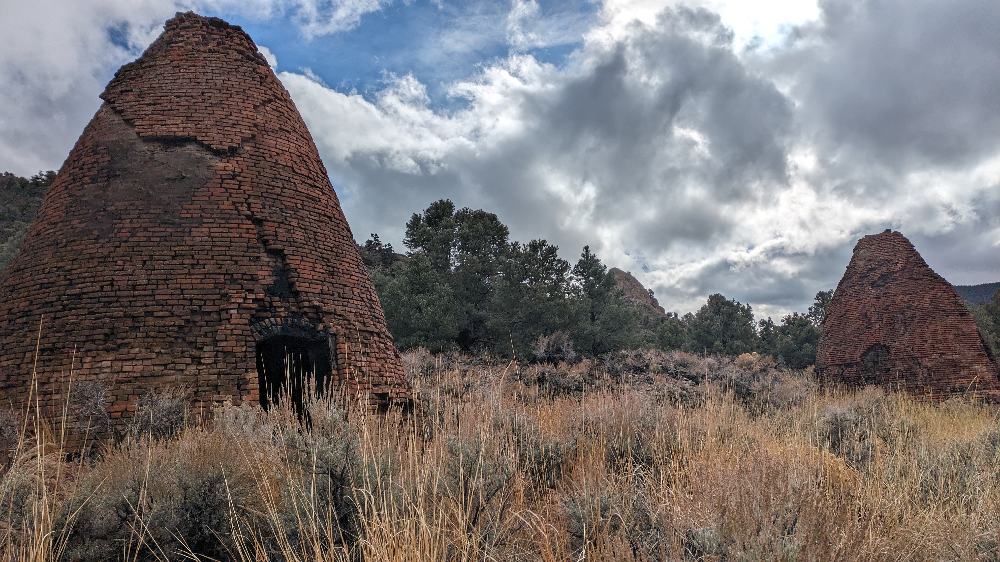
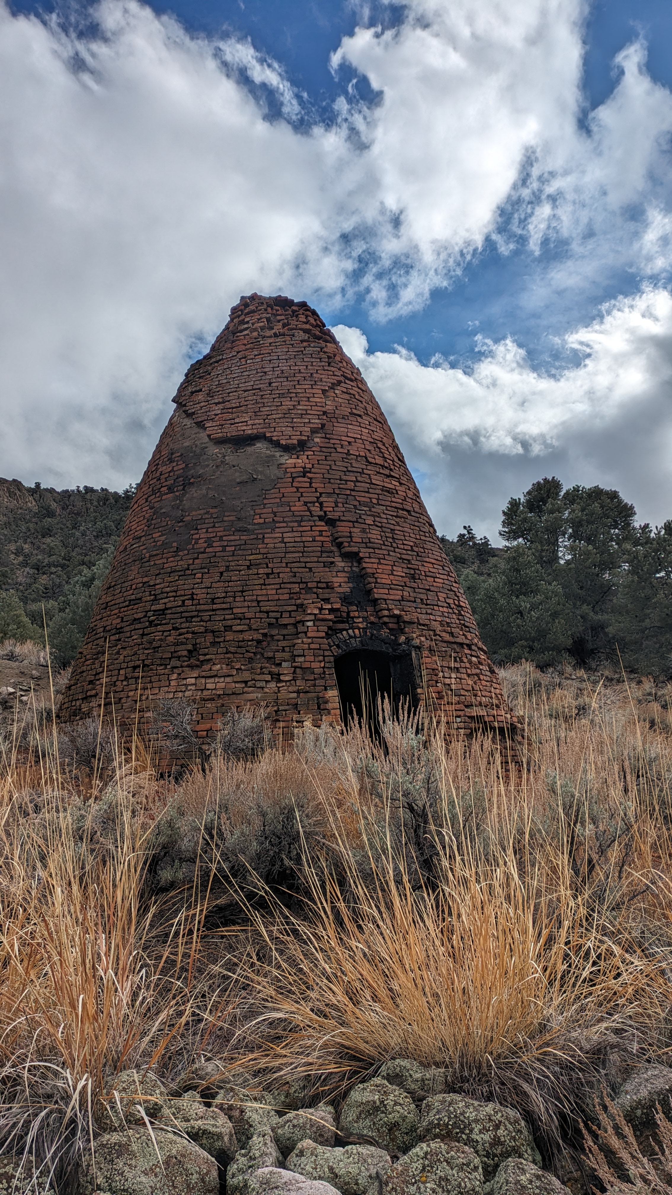
I was greeted by sunshine at the top of the pass. It was not surprising that Kiln Canyon was a long steep road, rocky, sandy, off camber, but a fun and challenging descent on the fat bike. There was one dead fall across the jeep trail that required some delicate maneuvering. After 1.3 miles of descending I came across another pair of kilns. They appear in the forest like a jungle temple in an Indiana Jones movie. After 5 miles of wonderful descending I was on Little Fish Lake Valley Road heading from East Stone Cabin Valley to Little Fish Lake Valley. I took sometime to dry out my gear just in time to see my second truck pass. Near total solitude.
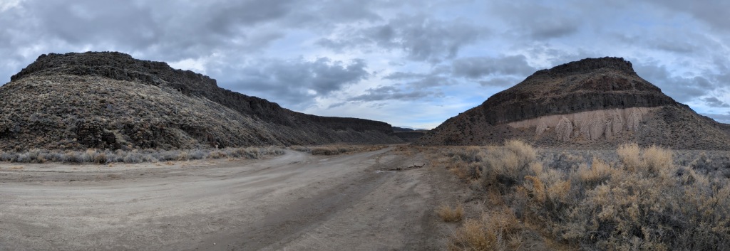
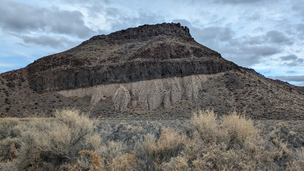
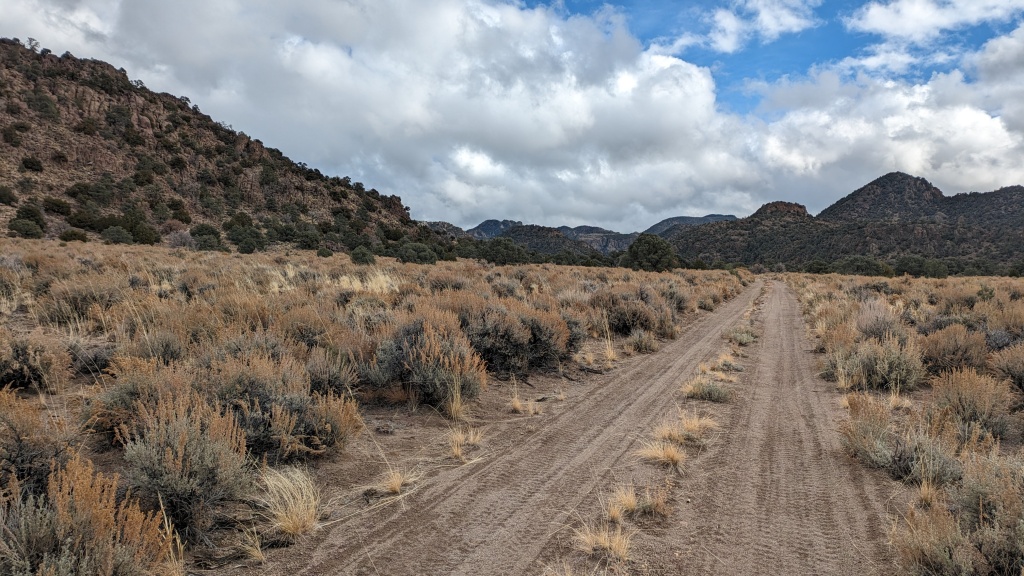
I was super excited to pass the top of Hot Creek Canyon, a spot common to the Sagebrush Ripple and enter Box Canyon. It lasted about 8 miles and gave me several opportunities to top off my water, I took my first opportunity as night fell. I continued two hours into the dark before finding a spot to camp.
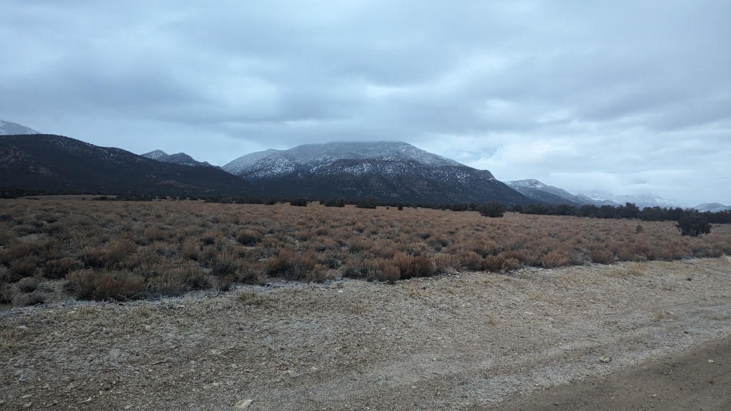
Day 4 That was the coldest night of the trip by the measure of frost on everything. The ground was wet and I was above 6,700’ so that all contributed. But it still wasn’t cold enough to freeze the 1L Nalgene on my bike. Seeing the thick frost on the bike, tent, and ground I’m sure added to the idea that it was cold, but it wasn’t that cold. I had a new idea, it was 90-ish miles to finish the loop. What if I could do it today? It’s possible.
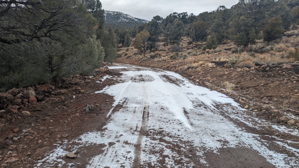
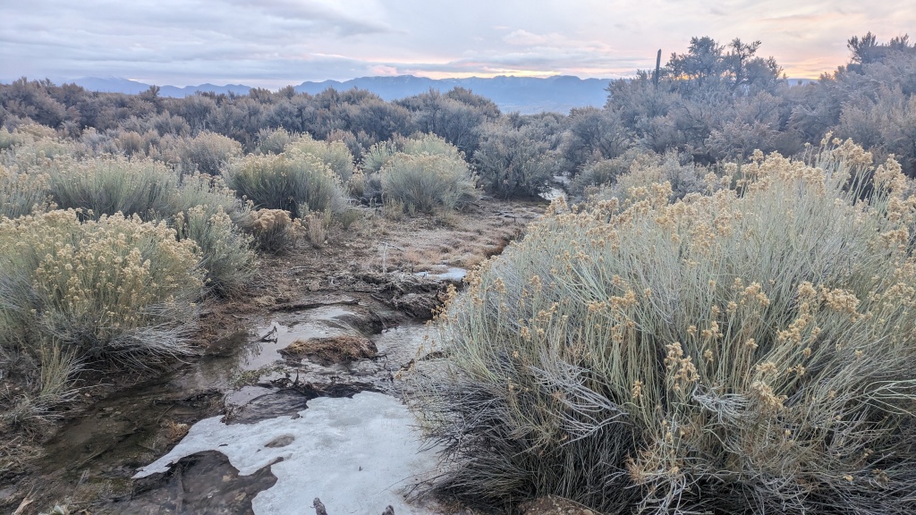
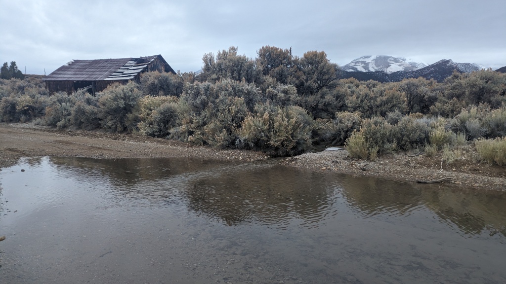
Rolling out I immediately passed Danville Creek. It was still dark, I could hear but not see it. I didn’t feel like playing in the water in the dark. Not to worry, I was back to the familiar Clear Creek Ranch, with super easy access to water. I then made the descent to the middle of Fish Creek Valley before making the climb to the high saddle between Monitor and Antelope Ranges. Climbing up to 7,760’ I thought fate was catching up to me. This area had seen more snow and rain than others. The road seemed less sandy than clay-y. My tires were beginning to slip in the mud. But my studded tires were finding traction on patches of ice. Sometimes it is better to be lucky than good.
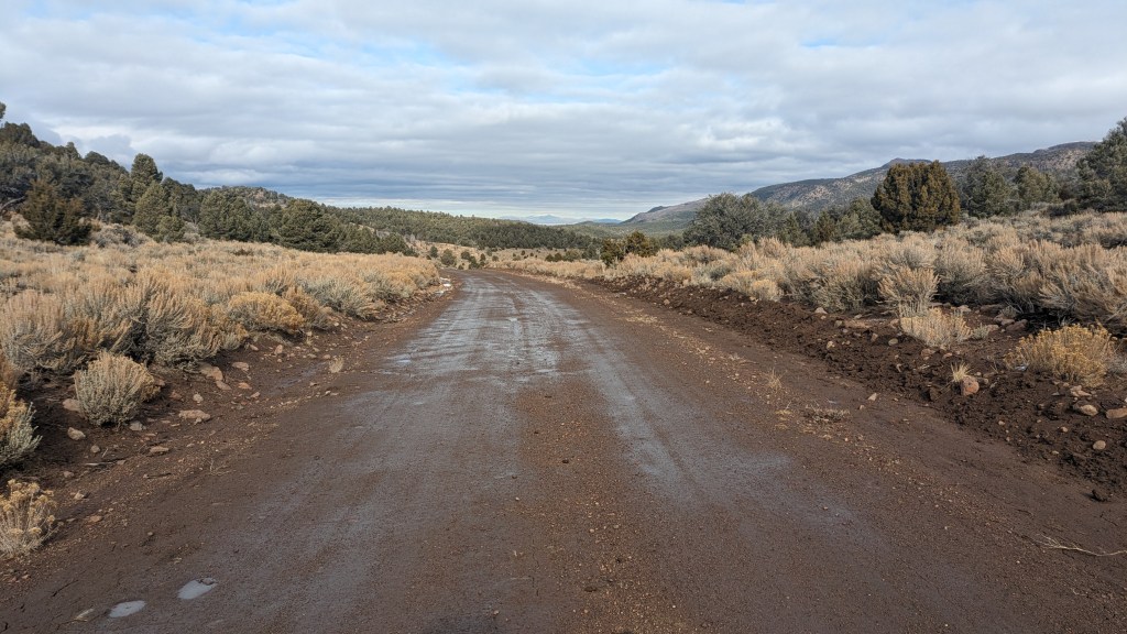
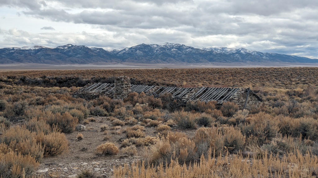
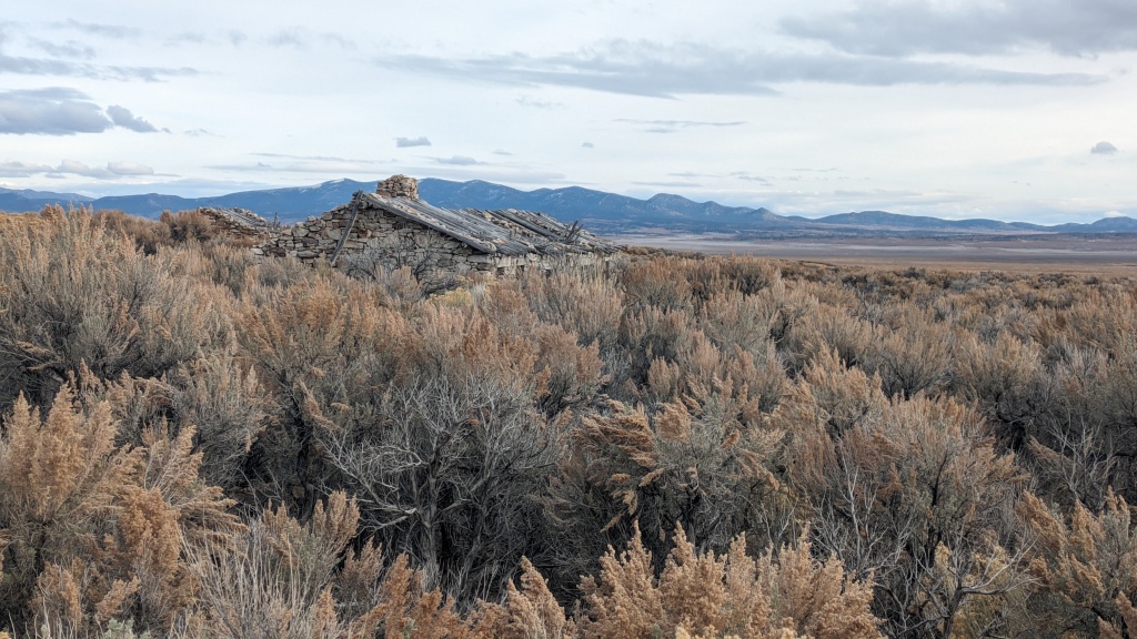
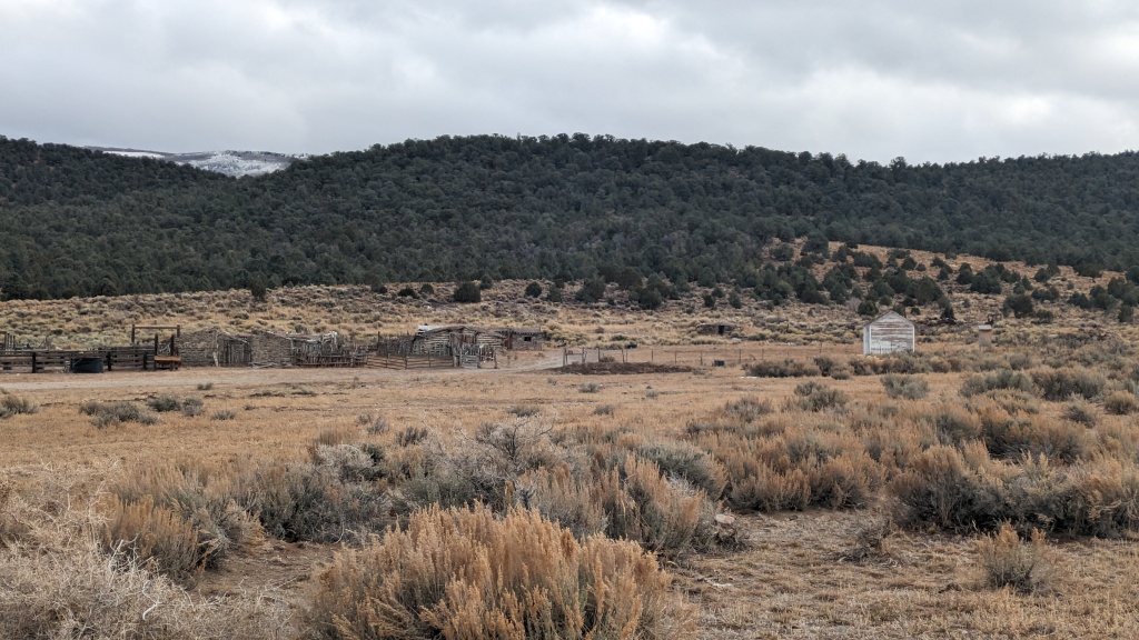
The descent into Antelope Valley was a muddy mess. But I was hellbent to make good time. I could feel the mud landing in my hair through the vents in my helmet. My back was coated. I had to be careful when to steer as the mud didn’t do much to keep the bike upright. Luckily the fat bike is forgiving. The next 35 miles through Antelope Valley gave me an appreciation for the basin in Basin and Range. I did my best to maintain my speed through the rolling downhill grade chasing patches of sun to hopefully dry the mud on my back.
Then I got to US 50. The Loneliest Highway is way busier than Nevada’s Backroads. Most drivers do a good job of giving you room. I knew Ihad 30ish miles to go with significant climbing. Much of it in the dark. I was running through my options, find a place to camp, grab a room in Eureka, pedal onto the truck parked east of Eureka. Raine’s market was ahead, I stopped for a Snickers break. The market is a perfect resupply, but closes at 7 in the winter.
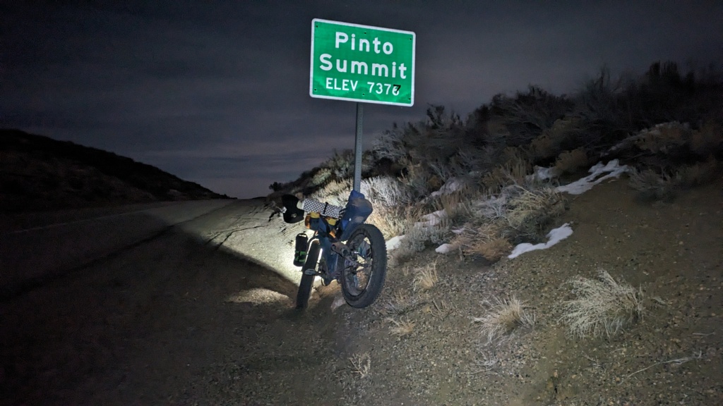
Like most small towns in Nevada, Eureka is quiet after dark. Once I was east of town traffic dropped to near zero. Pinto Summit was a welcomed sight, I knew I had a 5 mile downhill to enjoy. I put on an extra layer and enjoyed the cruise. I turned off my lights for the last mile and took in the view of the silver light of the half moon.
By the numbers: the original route was 235 miles with 11,900’ of climbing. I left out Four Mile Canyon and Keystone so I covered 220 miles with 9,400’ of climbing. The weather was a wild card, the atmospheric river coming in from Southern California made it way warmer and wetter than the weeks leading up to the trip.
Combining the milage of days 4 and 5 came from several considerations. One, could I do it? I haven’t pushed myself like that in a long time. Two, would I be home in time for some social commitments if I didn’t push it? It is a busy time of year. Three, do I want to pitch a wet tent? I should have taken the time to dry out the gear but I committed to riding 92 miles on the last day. Pitching a damp tent is not the end of the world. Overall this was a super route with an emphasis on the historic stagecoach route and mining ghost towns. I look forward to my return for an expanded version of this route.

Phenomenal! Wonderful photos, and as always, I appreciate your lighthearted and inspiring writing.
Thank you for the high praise! I will keep my eyes peeled for great backcountry ski runs for you.
Oooh, thank you! And I can return the favor by keeping mind particularly scenic/bikeable dirt roads. Have you been up in the high country northwest of Mt. Moriah? I would love to return to that area sometime with a bike.
Happy New Year,K!
I hope many miles for you in the near future.
Maharg Nor