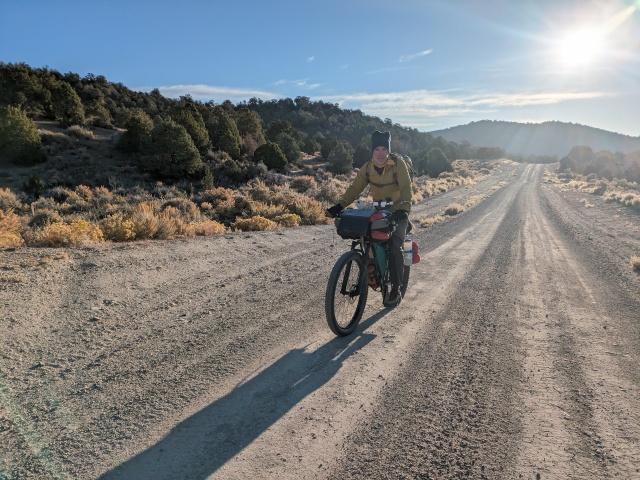
Doug Artman came to me with a very ambitious route The Great Basin Criss-Cross, about 1,200 miles round trip from Carson City to Gandy, UT. I figured it would take 24+ days. But what an adventure! Rethinking the commitment Doug returned with a 350 mile-ish criss-crossing route in central Nevada named, *pending. Not a super catchy title but we had time to work on it. I suggested it as 10 day trip giving us plenty of time to poke around the Points of Interest Doug had researched. Perfect!
Days 1-3, miles: 0-101.1, climbing: 4,613’
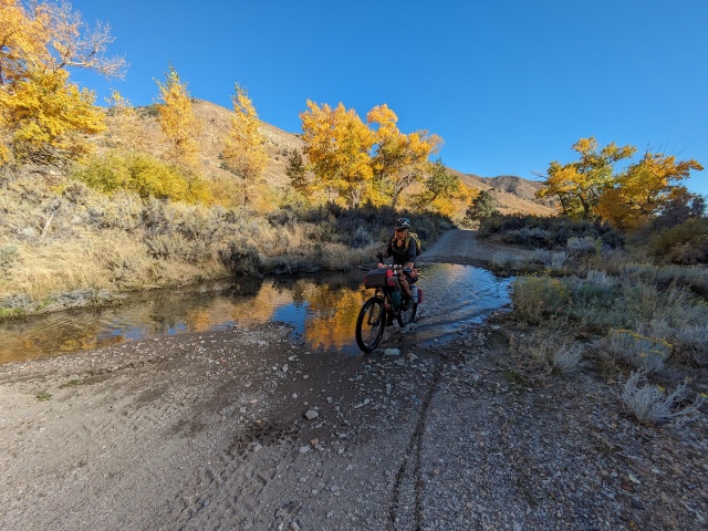
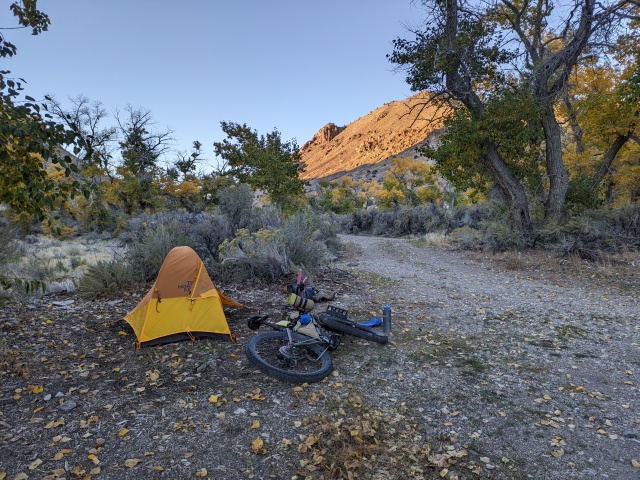
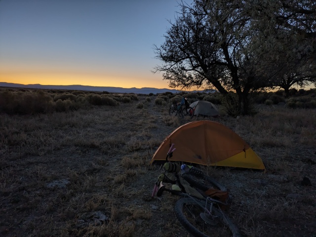
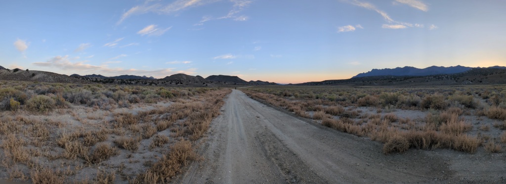
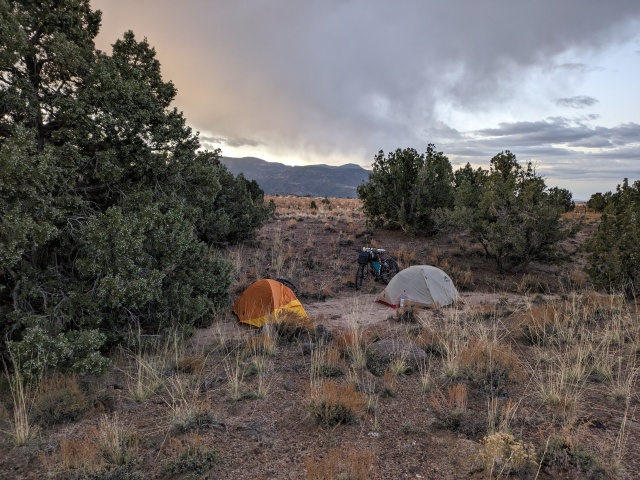
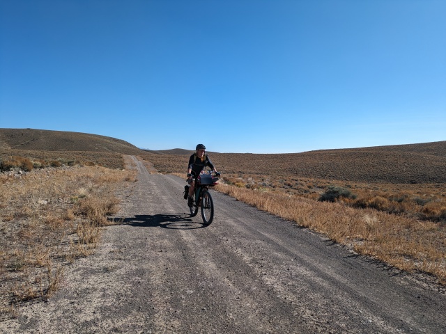
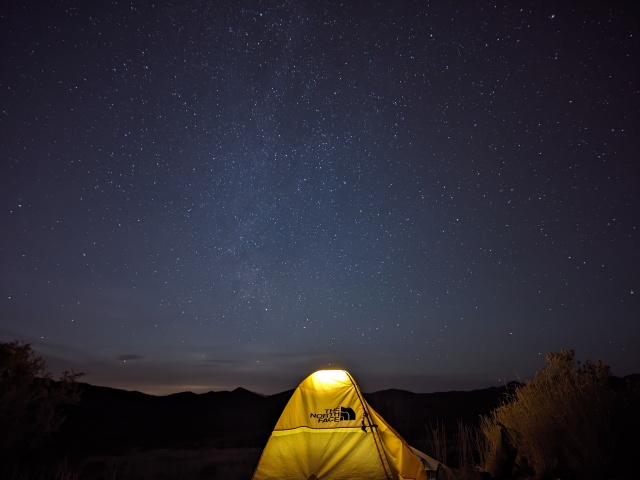
We drove to lower Ione Valley near Berlin-Ichthyosaur State Park. We were starting on familiar ground. But after Day 1 the route was mostly new to me and south of what I had ridden in the past. A bit was familiar from past road trips. We climbed the Shoshone Mountains via Grantsville a historic mining camp. We had a brief chat with a Nye County Sheriff, told him what we were up to, and after I thought he was wishing we were leaving his jurisdiction so he wouldn’t have to rescue us. It was great to see Grantsville again and the climb through the pinyon-juniper forest is beautiful. At the junction with SR 21 we turned south just above the junction of Reese River and Indian Creek. We followed Indian Creek to a damp meadow in Indian Valley for our first night. It was one of the coldest and caught us by surprise.
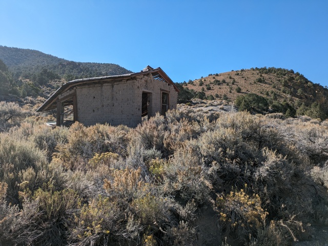
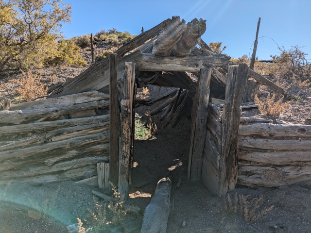
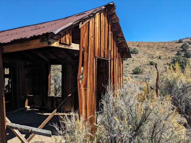
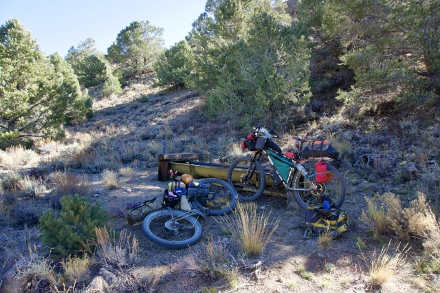
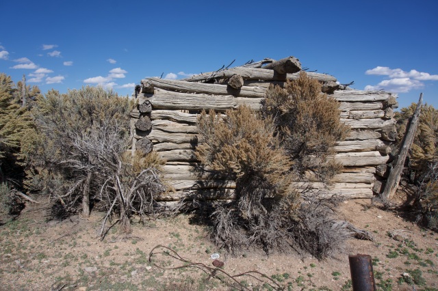
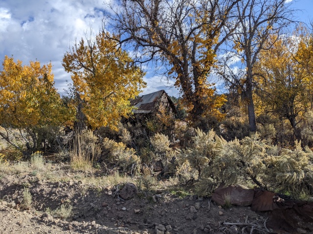
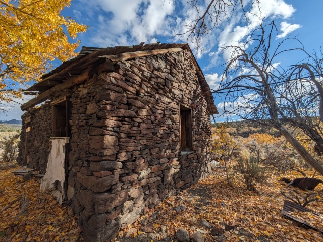
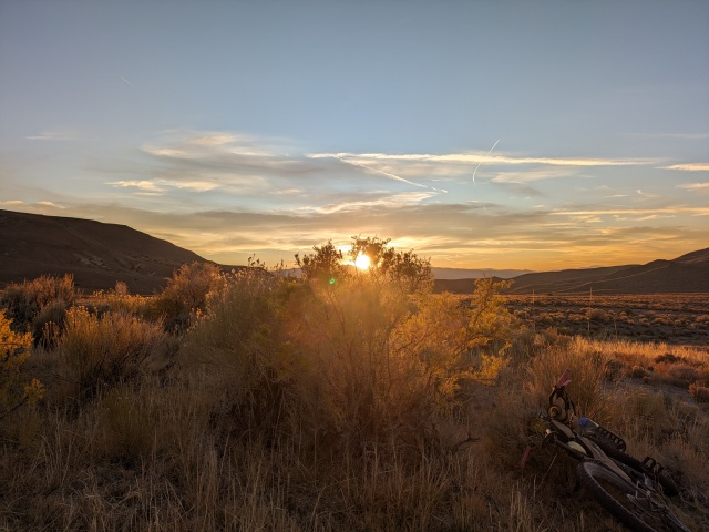
The next day we visited Cloverdale Ranch before climbing Cottonwood Creek on the south end of the Toiyabe Range. Visiting the miner’s shack on Cottonwood Creek and approaching Peavine Canyon from Dry Canyon were early trip highlights. We had our first hike-a-bike out of Cottonwood but it was worth it. Peavine Canyon and our campsite were gorgeous. It was hunting season so we were sharing the roads at dawn and dusk with hunters but through the middle of the day we had our public lands to ourselves.
Day 3 was our big city adventure! After descending Peavine Canyon and getting on the Fremont Route (this road along the east side of the Toiyabe Range has caught my eye for years) we passed through Hadley, the company town for Round Mountain Gold Corporation, and Carvers. Both towns had excellent resupply and amenities for bike tourists. After 9 miles of paved NV 376 we started our traverse of Big Smoky Valley. We ended our day with a stout climb with the sun just beating on us. We had covered enough for the day. If we needed more miles I think setting up some shade til sunset would have been the most prudent choice. But we set up camp, chatted with some passing ranchers who lost their dog on the range, and rested in the shade. For those keeping track, we started in Ione Valley, crossed the Shoshone Mountains, wrapped around the Toiyabe Range, crossed the Big Smoky Valley, and climbed into the Toquima Range.
Days 4-6, miles: 101.1-229.4 (128.3), climbing: 8,414’
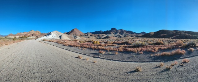
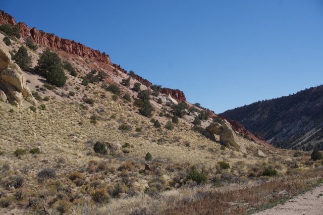
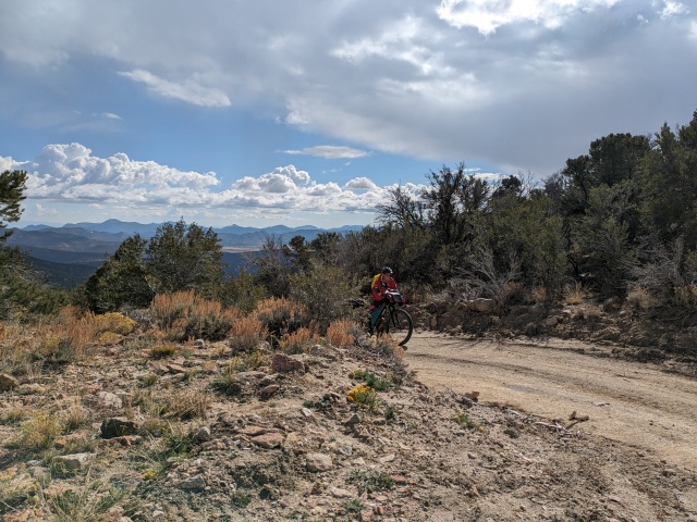
Day 4 started with a bang crossing the Toquima Range. Water was abundant, Harmon Spring fed a water trough before our big climb to Charnock Pass. The climb was filled with rock outcroppings that would inspire the backcountry rock climber and the descent had rocks to inspire the artist’s palette. It reminded me of the geology axiom that plays over in my head, “it all depends on what is in the water.” We ran north along the west side of Monitor Valley passing Diana’s Punch Bowl before we headed east to Potts Ranch. Every forest service road (Humboldt-Toiyabe National Forest, the largest in the lower 48!) running into the Toquima Range tugged on my bars. Definitely a future trip! We camped on the far side of Potts Ranch under a Russian Olive, hoping no spines would find their way into my sleeping pad.
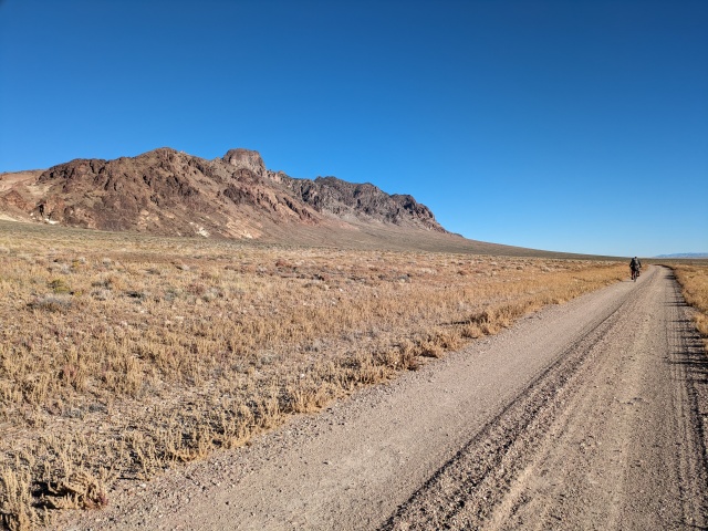
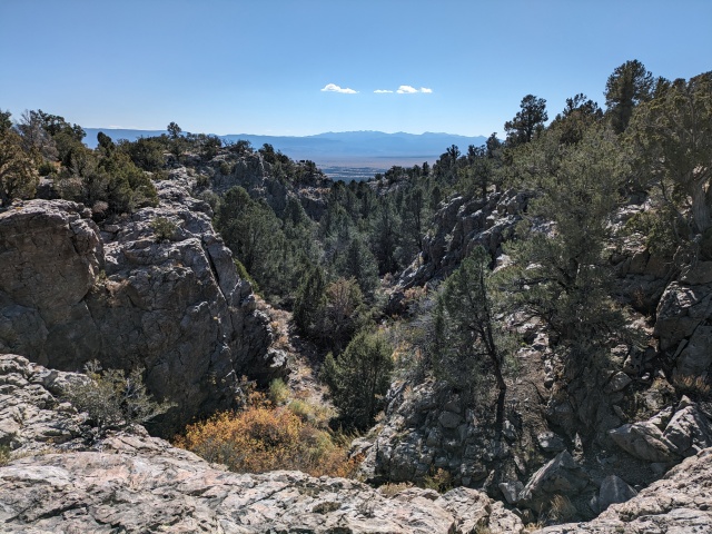
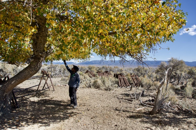
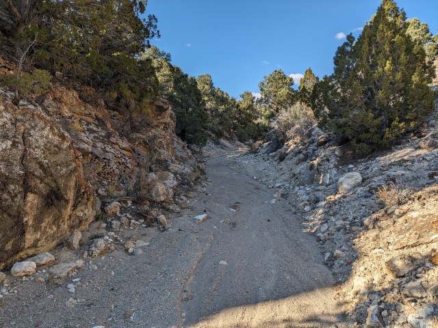
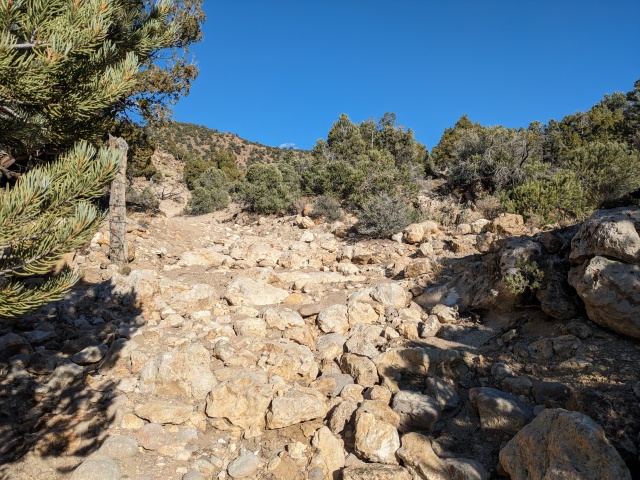
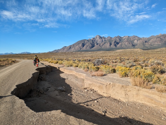
Day 5 was hard day to capture. We crossed Monitor Valley on fast roads, and made the climb to Dobbin Summit along the flowing West Dobbin Creek. We dropped into Fish Lake Valley passing one of the greatest features of the trip, the Monitor Range’s Miniature Grand Canyon (actual label on the USGS map). I am always so shocked by our scenery I tend to describe everything in superlatives, but Nevada’s backcountry is deserving. Clear Creek Ranch was a great homestead complete with an apple tree! Delicious! We made the decision to cross a fenced pasture in the middle of Fish Lake Valley. We didn’t see many options. We made the 0.4 mile trespass as quickly and respectfully as possible. With hindsight there is a re-route from Clear Creek Ranch I would recommend and use in the future. The low shoulder of the Hot Creek Range was sandy and brushy, but that gave way to a rugged washed-out climb. The washouts served up a real adventure compared to the well groomed roads we have mostly traveled. After climbing Cow Canyon we descended Luther Waddles Wash, someone should let Luther know his road needs some work. We had been passing between the Antelope Range and Fandango Wilderness Study Areas. After some of the most challenging descending (sandy wash negotiating while fatigue sets in) we popped out on the old stagecoach route between Pritchard’s and Moore’s Stations. Moore’s was the end of Day 5 as the sun set behind Petroglyph Butte.
There was some magic in Day 5. Something flipped in my head. I remember thinking, this could be anywhere in the world. For days we hadn’t seen anything that attaches you to a place. Maybe it was just in my head as the ½ way point, or the furthest point out.
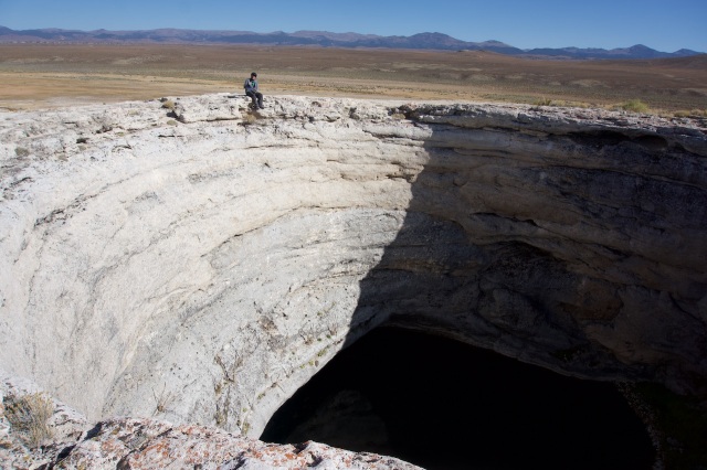
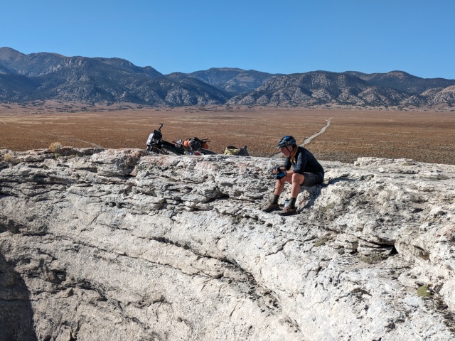
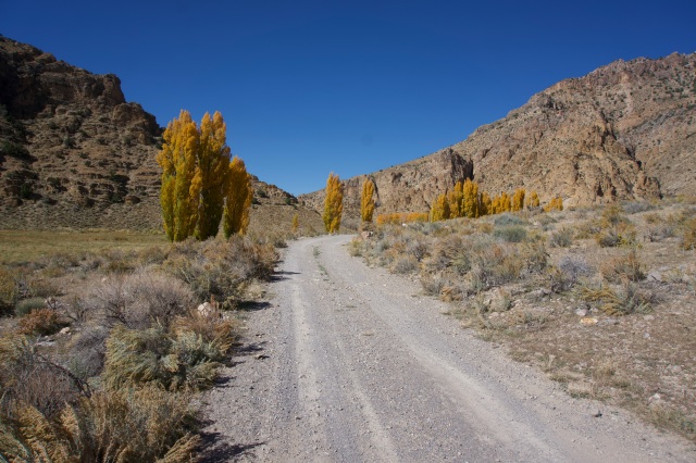
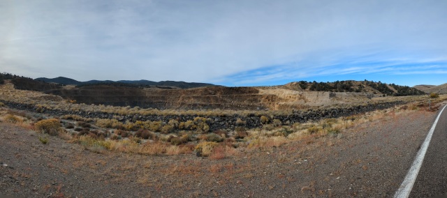
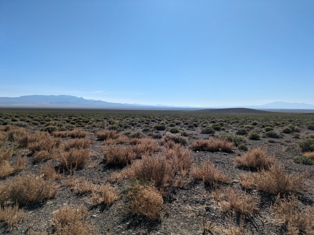
Day 6 I am about to tell you about one of Nevada’s grandest canyons. But you just read about the Miniature Grand Canyon which was postage stamp sized in comparison to Hot Creek Canyon. We descended Hot Creek Valley along the Hot Creek Range with a stunning view of the ridgeline including Morey Peak (10,246’). Past Hot Creek Ranch and the cemetery we climbed a road through Hot Creek Canyon with limited access, stay on road, day light hours only, please close gates. I can deal with that. The geology of the canyon with springs and caves was stunning. We ran into a pair of desert travelers in a jeep on their way to Tybo. I missed a turn-off by about 3 miles and fortunately Doug had flagged down a local to let me know. There is always a navigation error at some point. In my defense the turn-off was a faint double track off a well groomed road and I was keeping my Garmin in battery save mode. The climb to Eagle Pass was stout, pushing 23% grade (bike pushing!) but we had a great spot to camp in West Stone Cabin Valley. If you are not keeping track of our sagebrush ripples, the Toquima Range, Monitor Valley, Monitor Range, Fish Lake Valley, Hot Creek Range, Hot Creek Valley, Hot Creek Range, West Stone Cabin Valley.
Days 7-9, miles: 229.4-332.7 (103.3), climbing: 5,761’
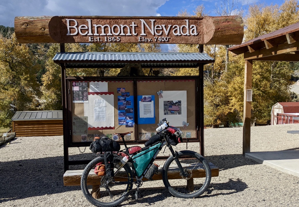
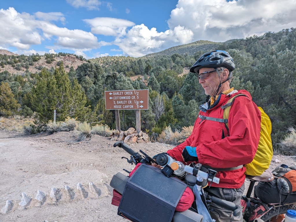
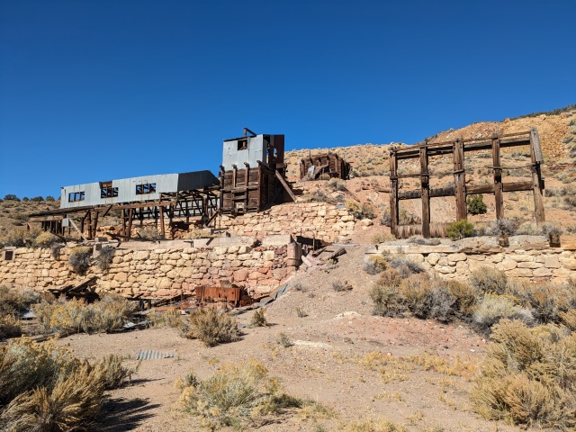
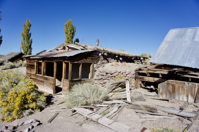
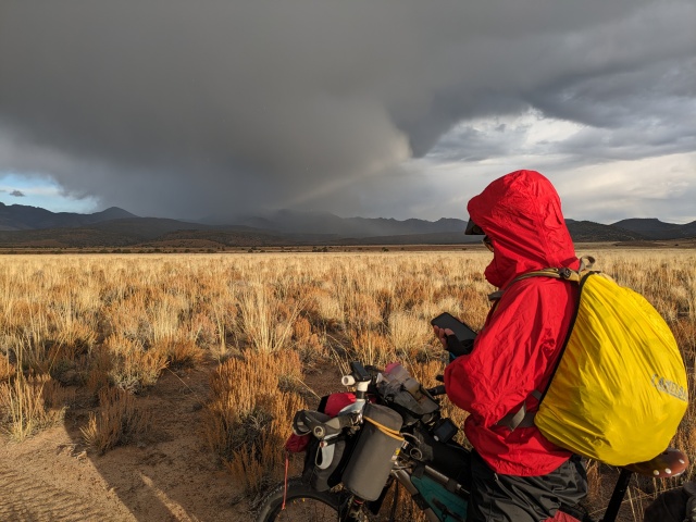
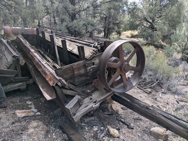
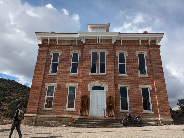
On Day 7 we woke to light rain. Super sticky and slippery peanut butter mud is alway a concern in Nevada. The weather was just stormy enough to make you question, “Do I need to put on rain gear?” Keep it handy, take it on and off many times through the day was my final decision. Daughtery Ranch was a great find. Then on the climb I spotted some odd looking mining machinery. Doug thought it might sort gravel ore. The mind of the mining engineer! Barley Creek Summit (8,400’) was the perfect spot for a beef jerky snack! All our summits were celebrated with home made beef jerky. We rushed down into Monitor Valley and crossed over to the living ghost town of Belmont. Belmont still has residents and a bit of tourism attracted to its ruins, historic court house and Dirty Dick’s Saloon. We had planned on crossing the Toquima Range at Jefferson Summit (8,721’) but we were out of beef jerky. Plus the storm seemed to have settled over the range. So a re-route was planned. We would stay low and head to the next living ghost town of Manhattan. Even so we were caught in a pretty good down pour on our way through Ralston Valley. I could see the sun shining ahead in Manhattan Wash. When I got there I stripped off my top layers and dried out in the brilliant Nevada sun. From there I could look back and see Doug caught in the worst of the rain and hail, it’s not nice to take pleasure in your partner’s misfortune. Doug is tough. Manhattan Wash made a great campsite.
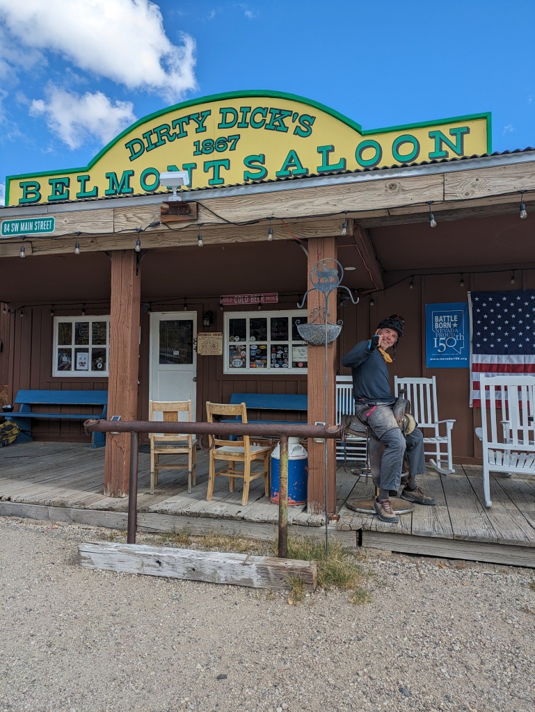
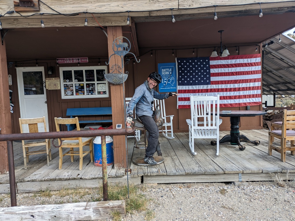
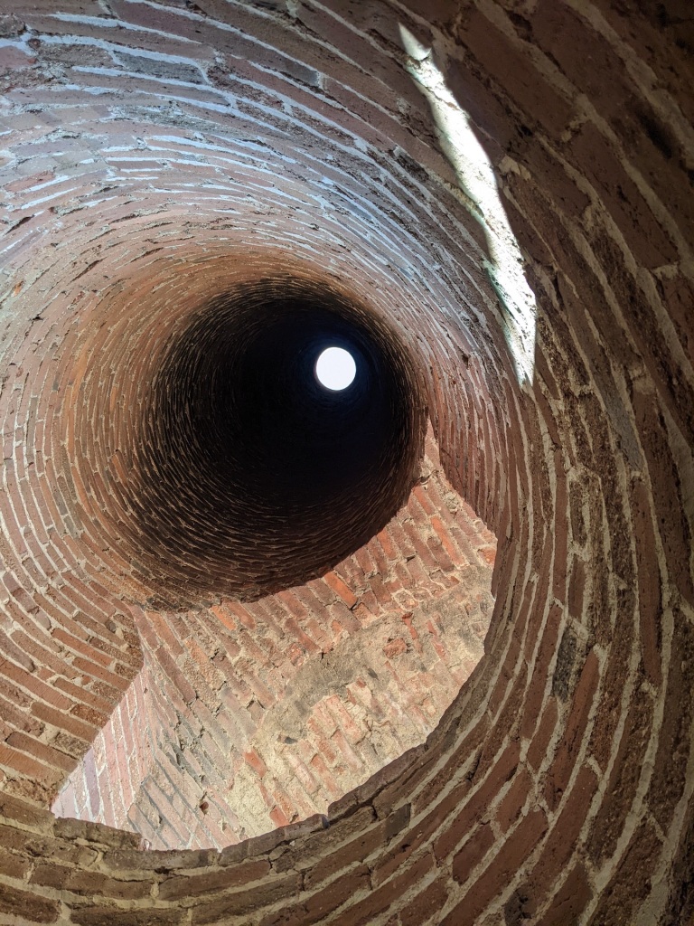
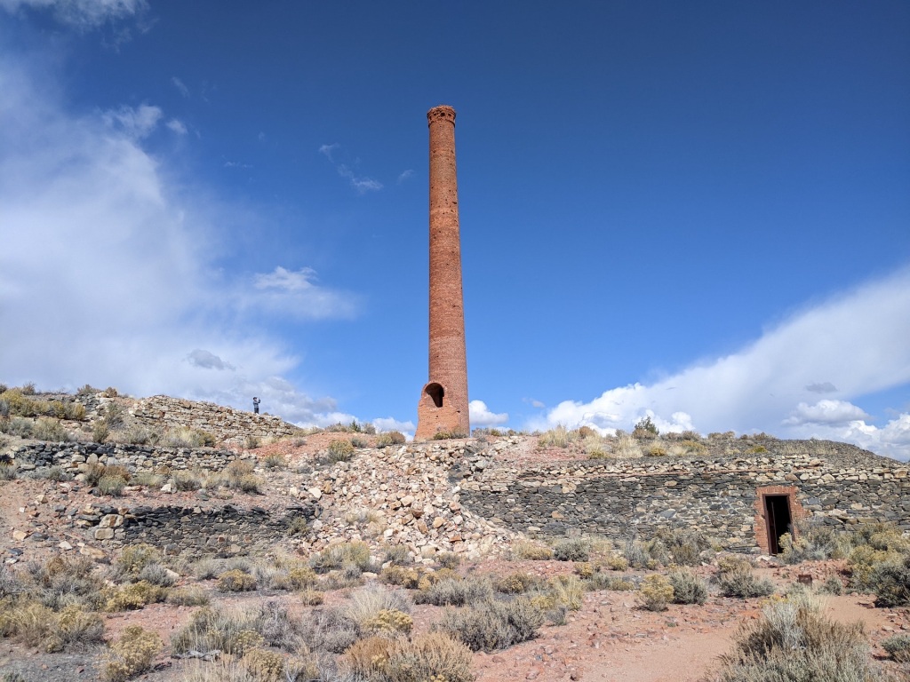
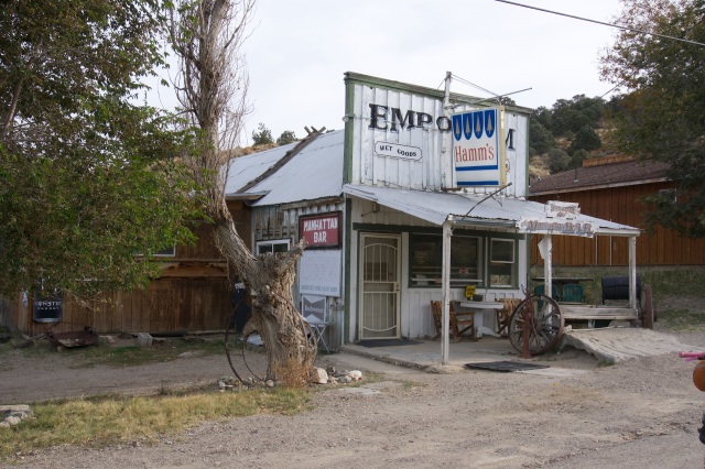
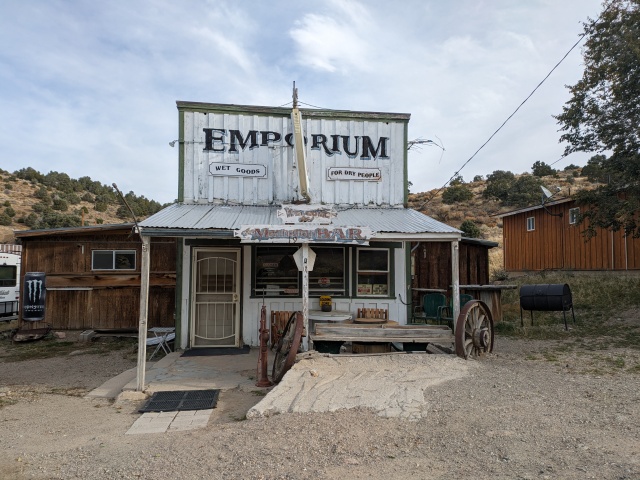
Day 8 We met a local just above Manhattan. Maybe they would take offense to Manhattan being called a ghost town. He told us about the various mines to check out as well as the sources of water. He gave us a little run down of the history and future of mining in Manhattan. The next big plan was to bring water from Peavine Canyon, across the Big Smoky Valley and up t the placer mines of Manhattan. But most important is the bar in Manhattan is re-opening soon according to the sign in the window. Just no telling how old the sign in the window is.
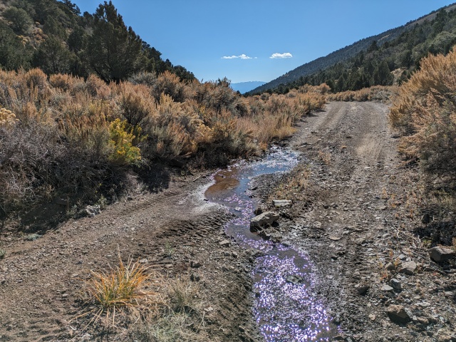
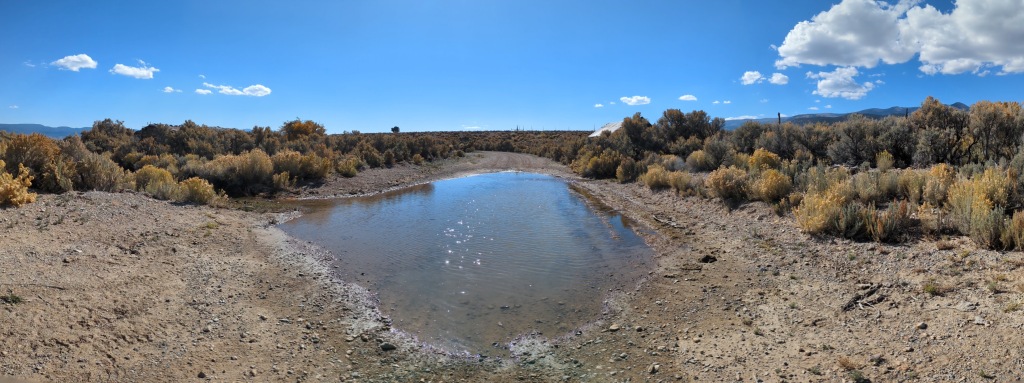
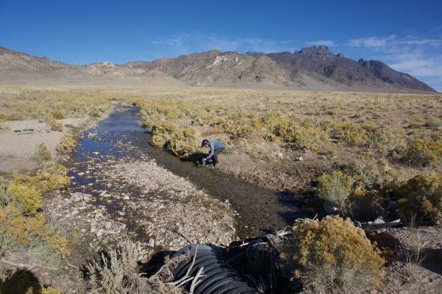
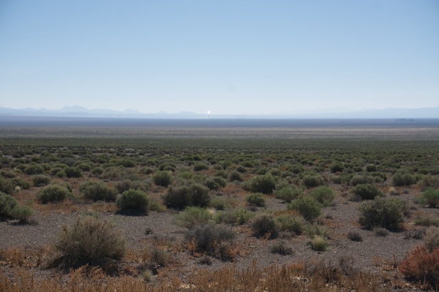
We covered some fast paved miles out of Manhattan to the bottom of Big Smoky. We crossed the Austin-Tonopah Highway and were back on dirt in familiar territory. The return to the start would stay south of our outbound route and around the southern tip of the Shoshone Mountains. The realization that the trip was coming to an end was setting in. With Tonopah and the Eye of Mordor (Crescent Dunes Solar Energy Project) visible to the south I reminded Doug that Tonopah had great resupply and was only a day’s ride away. But we stayed on route, crossed a flowing Peavine Creek, past the sleepy Cloverdale Ranch, and made our way to Willow Springs to camp. All of Doug’s planned water sources were golden and there was typically a good source of water in between stops. By our measure, 2023 was a good water year for the ranges in Central Nevada.
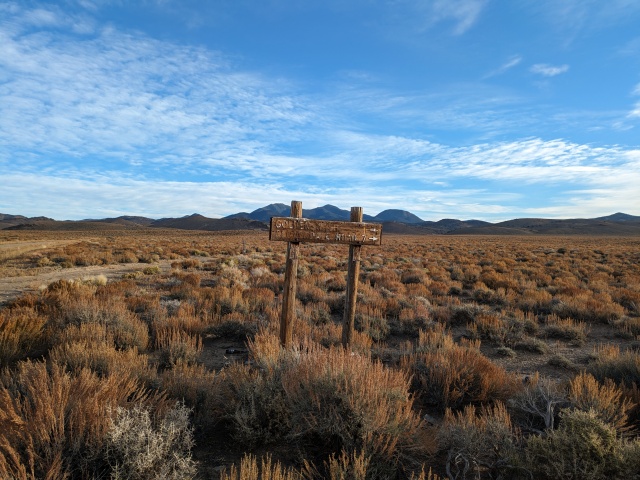
Day 9 We knew we only had a short 20+ miles to go today. Leaving Willow Springs we passed a sign for the Golden mining camp. Our Manhattan local told us it was a good source for water. We rolled over the low shoulder of the Shoshone Mountains before dropping into Ione Valley. Our road followed Ione Wash. We were just north of the route I took from Rawhide to Tonopah two winters ago. The route *pending had become Sagebrush Ripple by Day 3 and now it was complete.
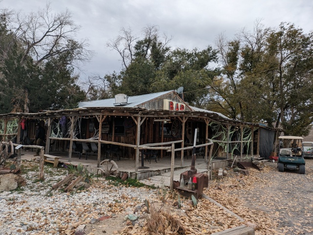
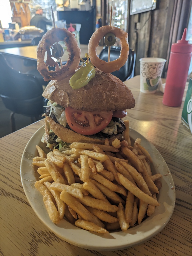
We celebrated at Middlegate. I had to try the Spicy Evil-Twin Monster Burger. There was no way I could complete it for the free T-shirt. But the leftovers provided two more meals for me back home.
Some notes on the historic places we visited from Stanley Paher’s Nevada Ghost Towns & Mining Camps (in order of encounter): Nye County- a constellation of ghost towns - love it!
Grantsville- 1863, established in response to Union. Town supported all types of stores and businesses including a weekly newspaper. Mining slowed by 1885.
Cloverdale Ranch- 1872 stage station and ranch, post office established late 1880’s
Round Mountain- 1905 gold discovered, total production $8 million.
Moore’s Station-1870’s stage stop on Eureka-Tybo. Now private.
Hot Creek Ranch- originally an indigenous camp, 1867 mining for silver supported 300 with a two-sectioned town.
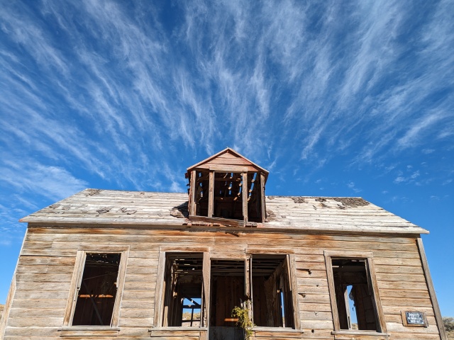
Belmont- 1865, silver discovery. Pop. 2000 by 1868. A complete town.
Manhattan- Initial mining in 1866, but things took off in 1906, supporting a pop. of 4000, producing a total of $10.3 million.
Golden- 1906-1909 initial gold interests, placer mining.
Surprisingly he didn’t cover Clear Creek Ranch, Pott’s Ranch nor Middlegate Station.
Make sure you check out Doug’s blog posts for his perspective and great sense of humor!





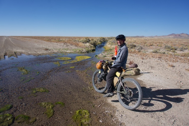

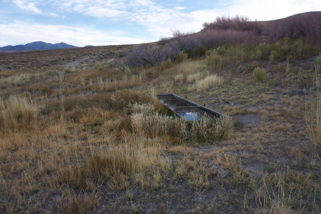


Thanks for taking us along. It is always fascinating to see water in the desert. Sometime us Oregonians are going to make it over the mountains and join you on a ramble.
Pingback: Short Tour; Pritchard’s Stagecoach Route Eureka -Tybo Loop + Kilns – Bikepacking Northern Nevada