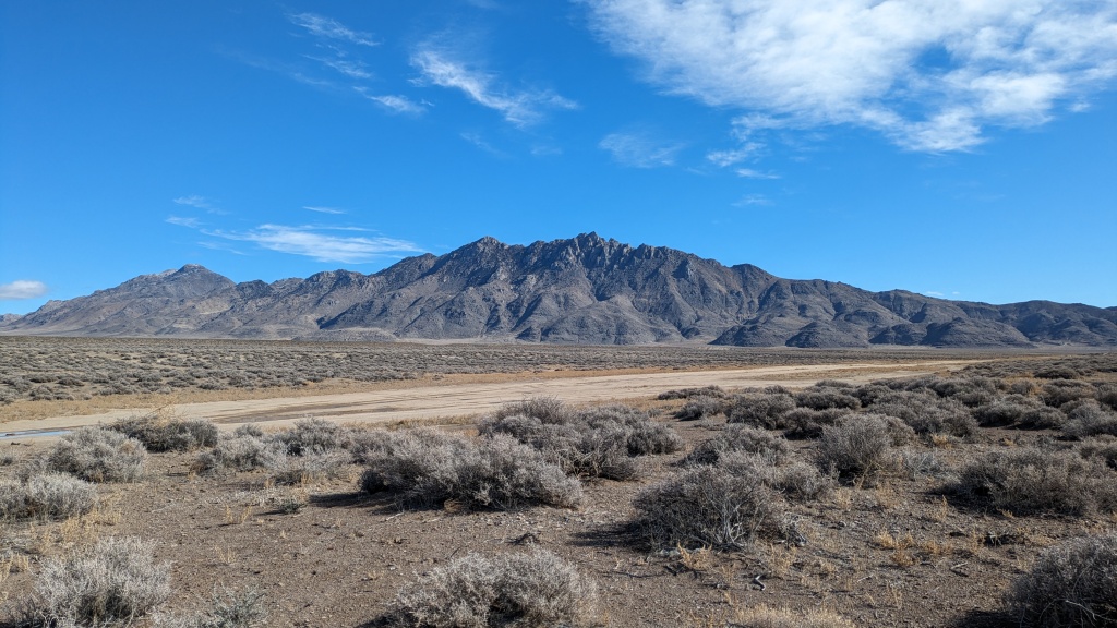
The Sahwave Mountains are an isolated range in northern Nevada between Pyramid Lake and Lovelock. I have approached this range from the south off the I-80 exits, Hotsprings Nightingale, Jessup, and Toulon. From the north I have ridden through Kumiva Valley, into the Lava Beds, and around Seven Troughs Range, all with great views of the Sahwaves. I made one circumnavigation of the range in which I must have overlooked the road over the mountains because I have always considered this range roadless. But in this trip I crossed the mountains on a well maintained road.
I was looking for a route through the Notch (Juniper Pass) that was accessible from Reno without going on the freeway. If someone wanted to travel to Pyramid Lake then get on NV-447 at Nixon they could avoid I-80. To add to the adventure one could start at the southern pullout and travel around the east shore of Winnemucca Lake. This road has some washouts and there are dunes at the north east corner which would require either fatbiking or hike-a-bike. There are many options to getting to the Sahwaves and experiencing the Notch. This route starts along a prominent road at the north end of Winnemucca Lake.
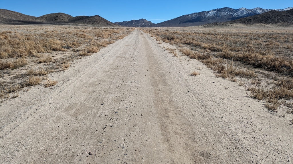
A favorite view when approaching Winnemucca Lake is of Mt Limbo and Purgatory Peak. While it is rare to say anything in north western Nevada, with exceptions, is popular to climb, Mt Limbo is notable, and there is a bouldering area below (also bouldering info here). This route makes a close pass to the Purgatory/Limbo scarp between the Selenite Range to the north and the Nightingale Mountains to the south. At Stonehouse Canyon the route turns north into Kumiva Valley. Initially the road north is less traveled and a bit sandy, but overall the roads throughout the route are fast on a gravel bike. I recommend navigating a pre-planned route as there are quite a few crossroads. Looking at alternative roads, they take you to springs, likely to water livestock. With some planning an extended trip would have plenty of water resources.
I had close encounter with a small group of pronghorn, Antilocapra americana. I love that everyone has to say they are neither antelope nor pronghorns when their common names are used. I am reading Undaunted Courage (Ambrose, 1996) about the Lewis and Clark expedition into the west. They called them goats. I love the term America’s Speed Goats. They ran across my route and then stopped right in front of me. Curiously, cautiously, they took several steps towards me. I took the time to look at them looking at me. Eventually they ran off to join a group of 20+ on the edge of playa at the base of Bluewing Mountains.
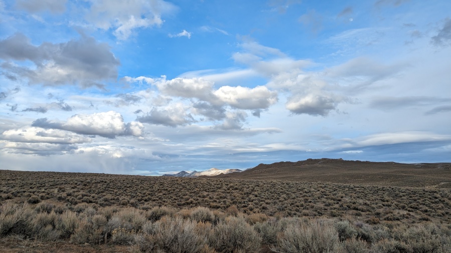
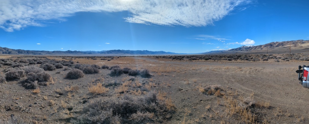
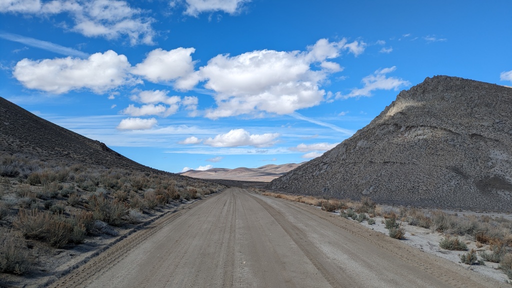
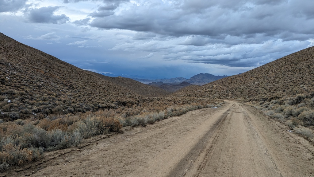
Now I was on my approach to the Notch. I had turned onto a road that was in the process of being graded. It was perfect. I passed the two motor graders that were responsible. And then I was passing through the Notch, my first time from the north. The view of the flooded Blue Wing Flat, Granite Springs Valley, and the Trinity Range was fantastic. But don’t forget to look back to the north.
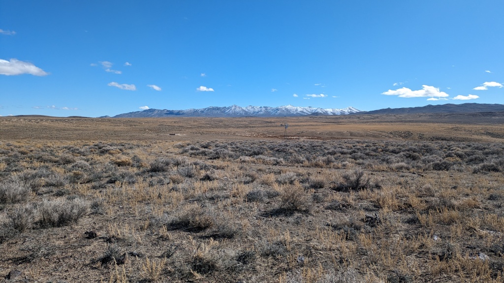
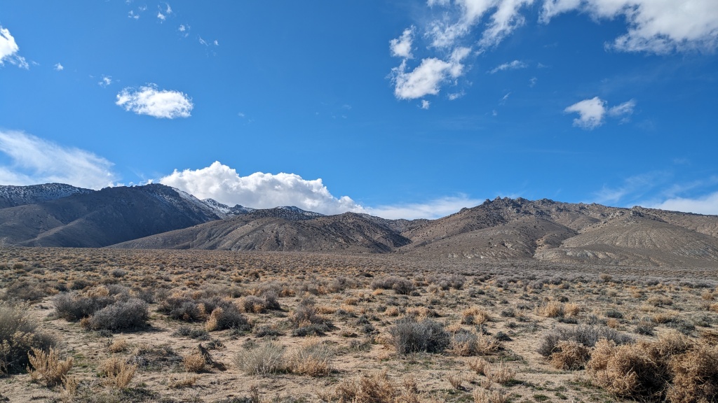
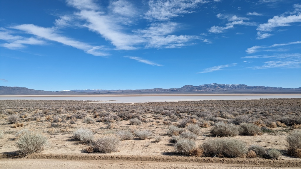
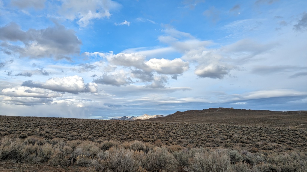
Although the miles south of the Notch were rolling with a slight uphill and a bit of headwind, the views are entertaining. The first third is dominated the rugged canyons of the Sahwaves and the flooded Blue Wing Flat. When I first got my packraft I had the notion to seek out flooded playas to paddle on. I may miss my window for this paddle this season. The next two thirds moves away from the Sahwaves allowing you to focus on the Trinity Range. It is a bit of a reverse C-shaped range that can be accessed from the Nightingale Hot Springs exit of I-80 and subsequent all the way to Lovelock. Some highlights are the Jessup ghost town, Ragged Top Mountain, Toulon, the historic Poker Brown mine, and the mysterious arcing roads typical of blast testing. Conspiracies aside, this is a spot where jet engines were tested, thus the concentric arcing roads were used to sample the effects. The things you can find in the desert!
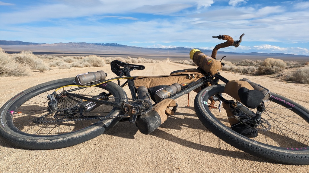
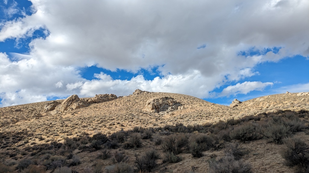
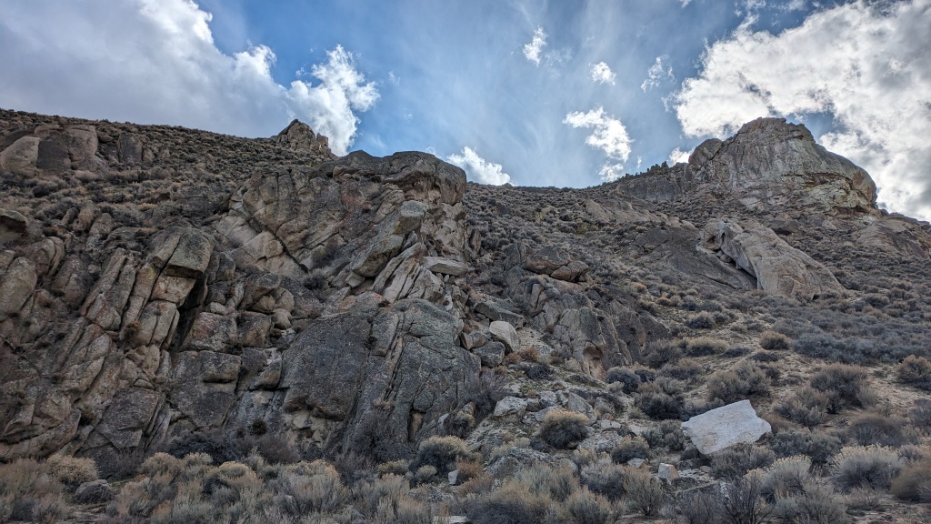
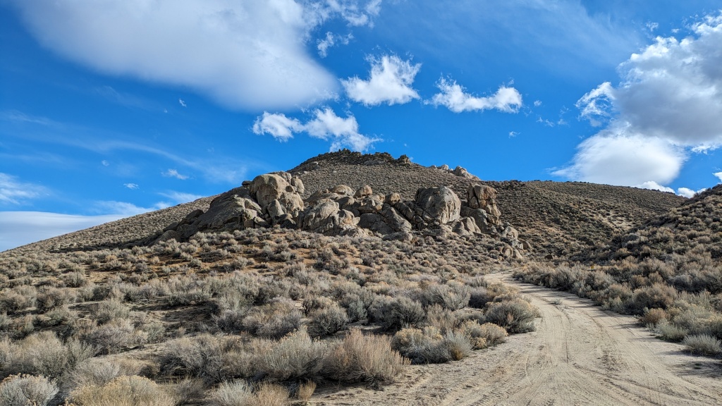
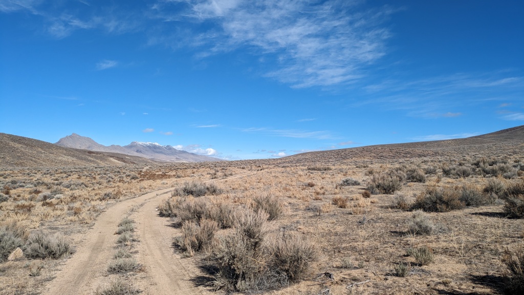
The next leg of the route was as if the adventure restarted! I turned at C-Punch ranch into the Sahwaves. At first the road was soft, grass-up-the-middle. I was worried, what if the next 25-ish miles were like this, or worse? Well, this is the adventure part of the ride. I have been benighted before on big unknown loops. Thankfully it was less than 2 miles and it dumped me onto another great graded road. I then entered a canyon with fantastic rock formations. From the road I thought this could be a back country bouldering area. Or at least a fun place to scramble around. The canyon climbs 1,200’ to 5,800’ in elevation before it opens into the top of Sage Hen Valley. It is a funny topographic transition. Past the Granite Springs Ridge there is a little climb to the top of Stonehouse Canyon and now you are in the Nightingale Mountains for a long downhill back to the start.
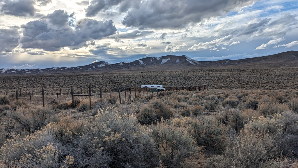
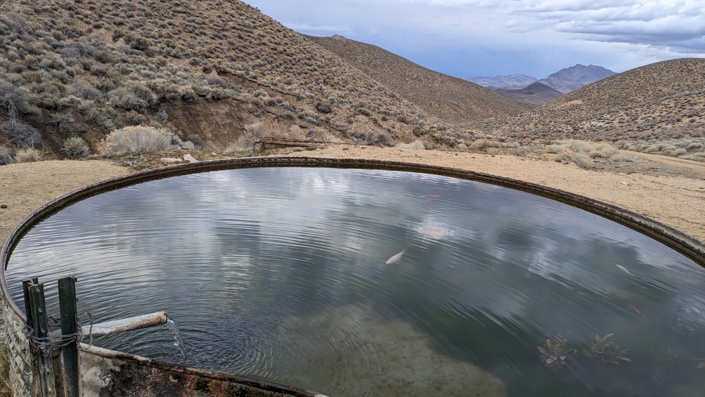
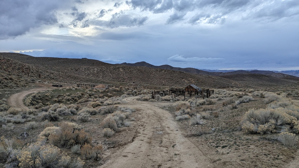
Clearly I hadn’t scoured the maps in building the route. I picked the novel starting point and built the shortest loop that included Juniper Pass. I was super surprised to come across a water trough with water flowing through it. It was fun and unexpected to see 6” white and orange koi swimming around. This is indicated as Upper Stonehouse Spring. Pedaling down the road there is a deep cut by water on the left that occasionally takes a bite out of the road. Otherwise the road is fantastic. Less than a mile and a half down the road is a corral and outbuilding. From the road it looks like a portion of the corral is flooded and overgrown with reeds. The water is coming from Lower Stonehouse Spring.
The ride was taking a little longer than I hoped. But thankfully it was going much faster than it could have. The last hour was after sunset. Fortunately navigation was easy and the road was non-technical. I hadn’t packed a light, which along with an extra insulating layer should be part of my day ride kit. I had the moon through the clouds. By now the dark clouds were releasing a bit of light rain. That much I had prepared for. Driving away it was raining enough to need the windshield wipers on medium.
By the numbers the loop was 64 miles with 3,500’ of climbing. I got lucky on the conditions, the upper elevations had snow but were just dry enough, and sandy enough to not be muddy. According to the horse hoof prints there had been some slipping and sliding. The lower elevations were completely dry and the roads were mostly fast, faster than me. If I were do this as an overnight I might camp on the edge of Blue Wing Flat pulling off around mile 27 or by some rock formations in the canyon at mile 42. This area could be included in a tour of any size through Black Rock Country.
Here is a great dive into the Bluewing/Sahwave area from Friends of Nevada Wilderness.



Kurstin
Thanks for the tour,
You are in my backyard, (Lovelock 50+ yrs of hunting/trapping/flying this this area.) I have a couple of E bikes, HD cross county types, (Bikonit Wart Hog MD 750 and a Biktrix Jugg Ultra 4, both are set up with dual batteries, average 80 > 120 miles per charge.
I love riding the wild horse trails down and across county, there are a couple roads/trails that cross over most of these ranges in this area either go West or East into the valleys, if you know where to find them.
I love reading about your trips, al thou some of the names you use throw, for some of these areas/sections me for a loop, (Not know to the locals)…….. by such names, Lol.
Thanks,
Don
ps, I would love to do an over niter with you on of your group outings, but don’t have any of the required items needed, as I am 78yo I may not be able to sleep on the ground.
It’s fantastic to hear about your experience with nature. Engaging with the natural world offers a myriad of benefits, from boosting our physical health – especially when it involves activities like long-distance biking – to alleviating stress, anxiety, and depression, and even enriching our lives with a deeper sense of purpose. Studies consistently underscore these effects, emphasizing the importance of a mindful connection with our environment.
Keep going on this path, your experience is truly inspiring. 🙂