September 22-24, 2023 In response to the feeling like I am the king of overnights I wanted to create a series of 3 day – 2 night trips in Black Rock Country. I had some feedback from Sasha Magee of San Francisco, that making the trip to Gerlach from the Bay was a little much for just an overnight. I can see that. I would like to see Black Rock Country be a destination for San Francisco, Portland, Seattle, Boise, Salt Lake, and Las Vegas. The 3+ day trips might be the draw.
When I led the Lava Beds Loop I was able to point out a portion of the Seven Troughs Loop (Day 1, Day 2). That made me think, what if I could start combining overnight loops. Route Creation 101, plot out the best POI’s (Points of Interest), and link them together with suitable trail, then confirm water sources and rideability of course. This isn’t really what I did, but it is good theory. I had an idea of what I wanted to include in my mind the next step was if I could link them with a route that had logical flow. Step 3, torture your friends with the route. This is where Marc came in, always willing.
Doug Artman, the author of the Seven Troughs Loop, did an excellent job curating the ghost towns and water resources of his route. It is a favorite trip for visiting a historic mining district. My next favorite mining district is the area between Middlegate and Berlin-Ichthyosaur State Park. Combing cultural history of Seven Troughs with the natural beauty of the Lava Beds made sense beyond proximity. My main question was availability of water. Could the route work carrying 3-5 L of water?
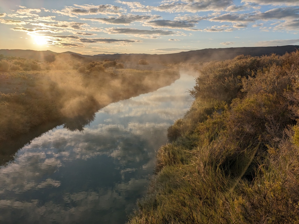
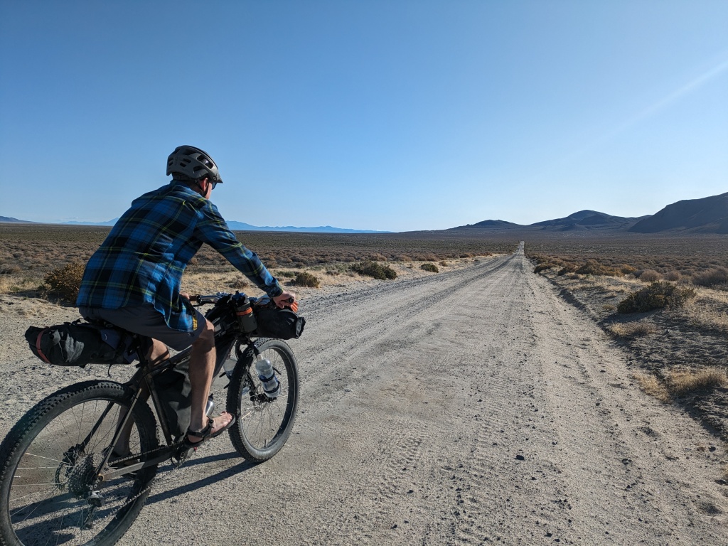
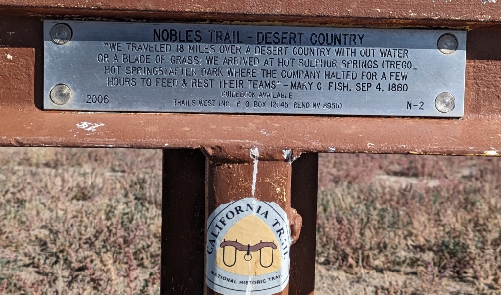
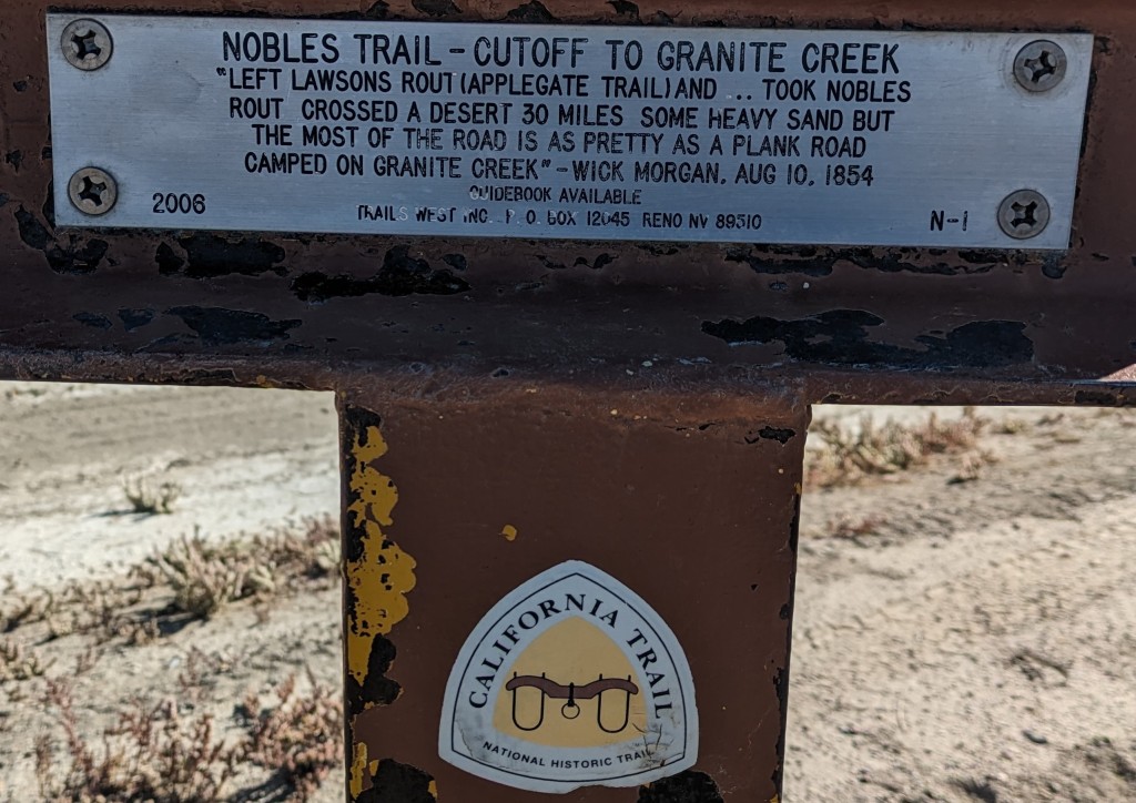
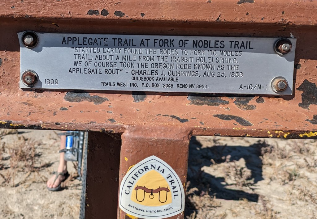
We started at Trego Hot Springs, off Jungo Rd, off NV 447. It provides access to the Black Rock Desert, an easy spot to camp and park, and wild hot springs for a dip. You are close to Empire Store and the watering holes/eateries in Gerlach. The route starts on Jungo Rd, part of the Nobles Emigrant Trail. At mile 14 we turned off Jungo to stay on the Emigrant Trail, we were on a micro playa for a minute. Just past mile 19.5 we merged onto the Applegate Emigrant Trail to Rabbithole Springs.
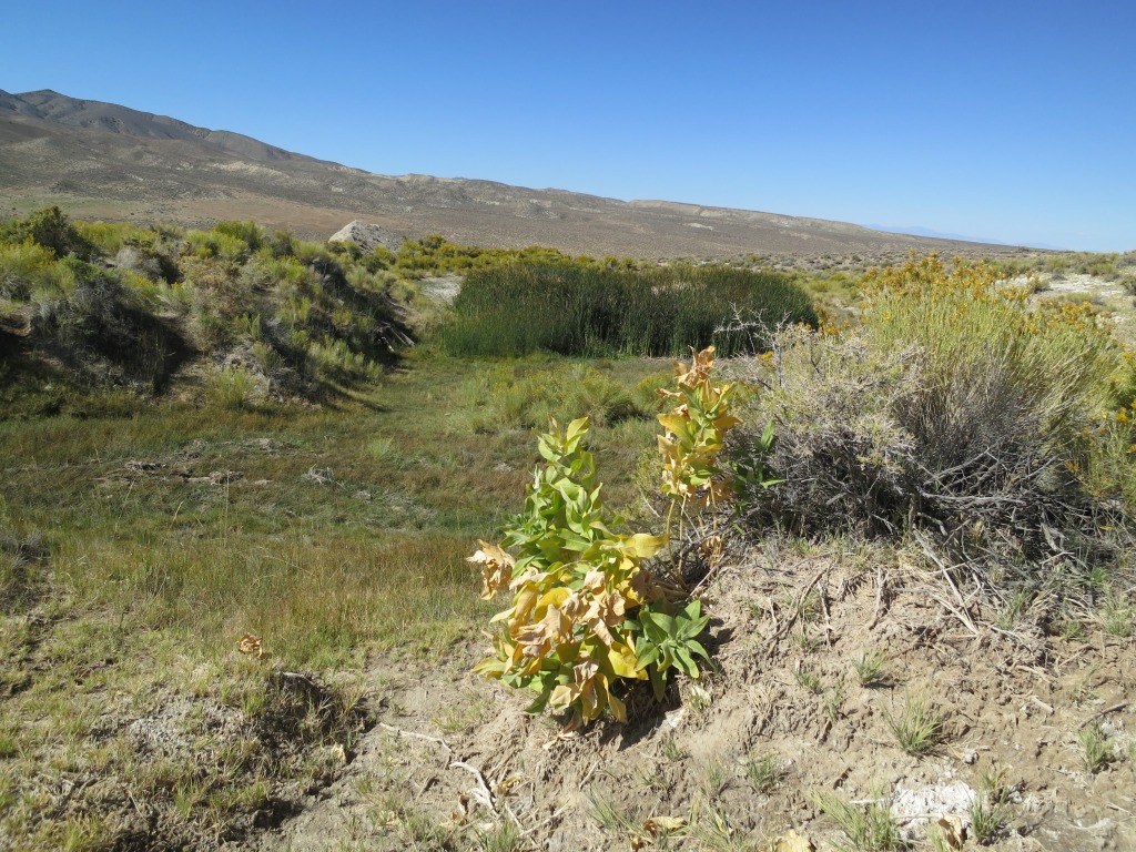
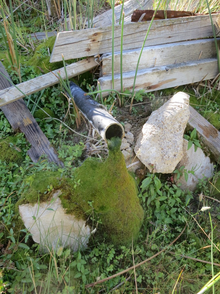
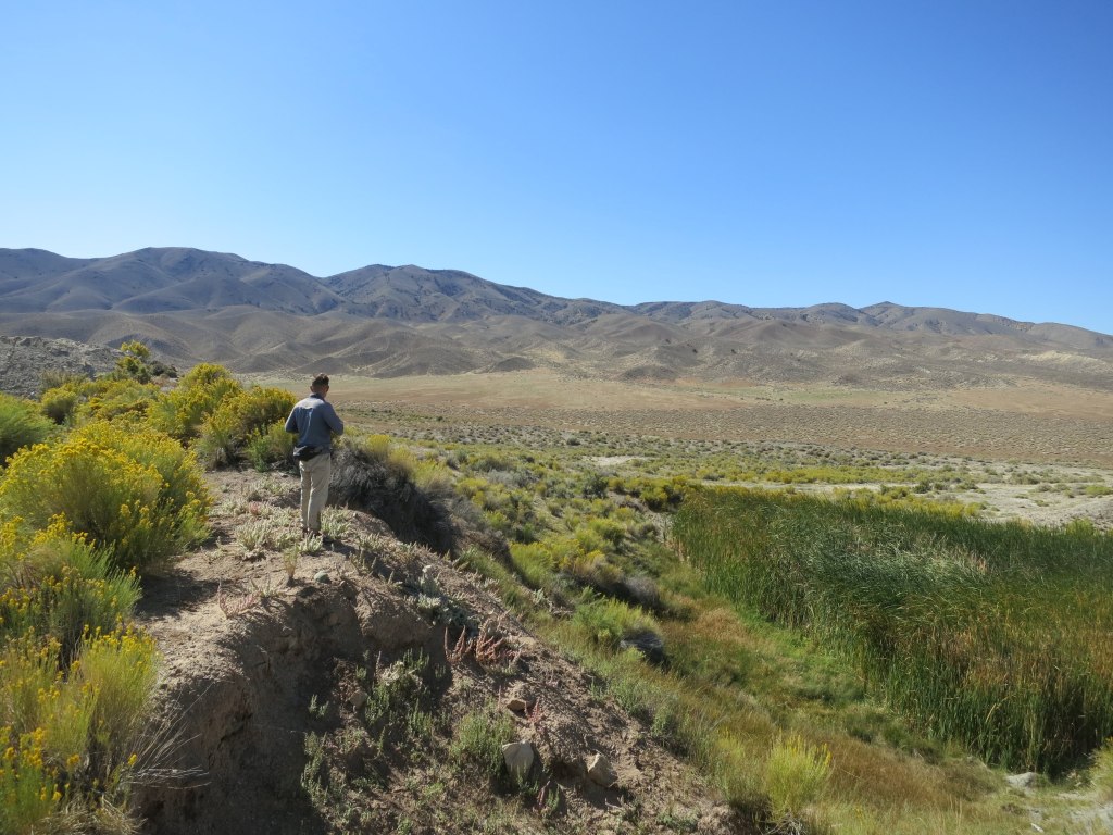
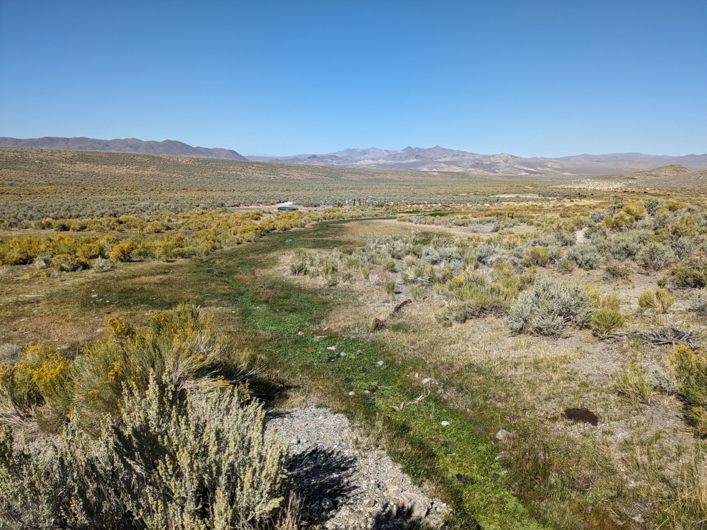
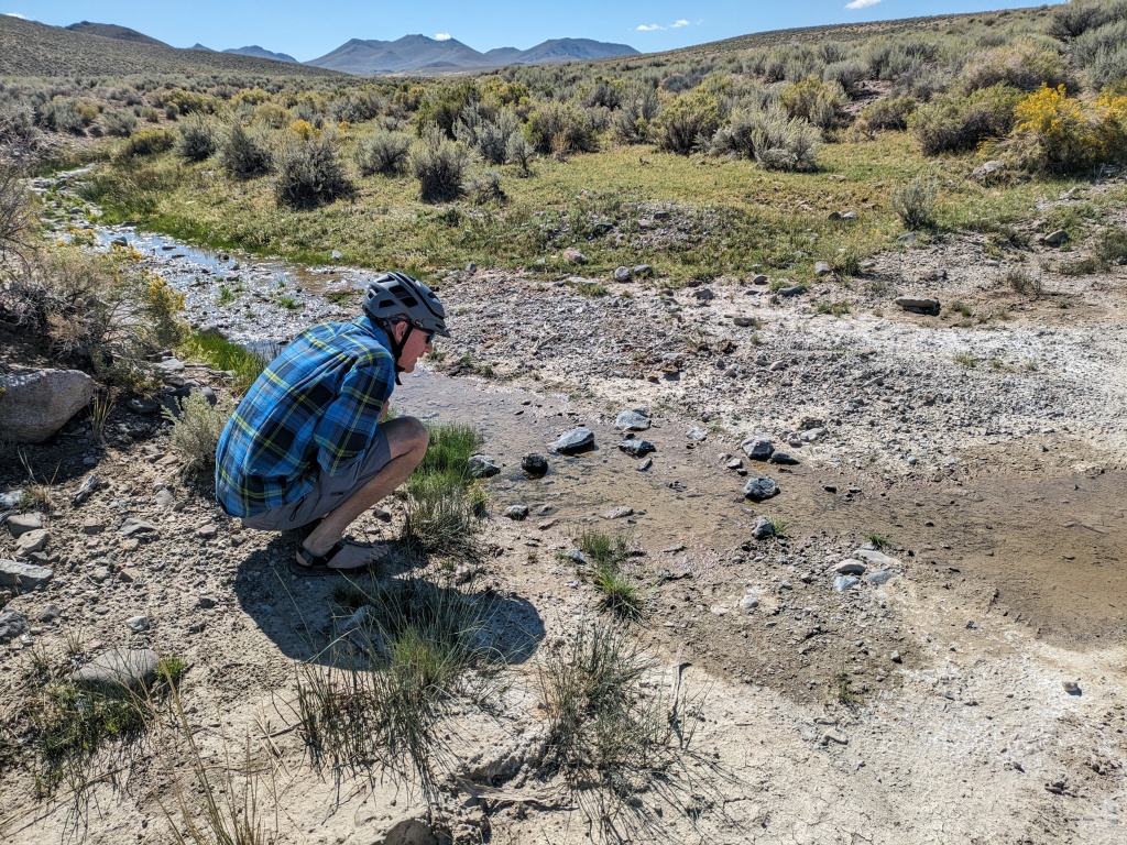
Rabbithole is the first opportunity for water. It was a critical spot for pioneers crossing the deserts on the Applegate-Lassen Trail. I filtered water from the water flowing between pools. It tasted a little briny. There is plumbing between the spring and the pools, that might be the best water source. Rabbithole was also a productive placer mine in the early 1900’s. An alternative bonus climb would be up Rosebud Canyon to Rosebud Mine and peak.
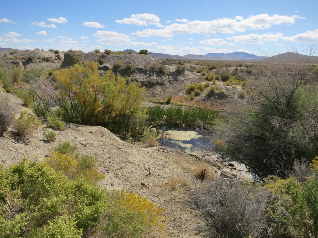
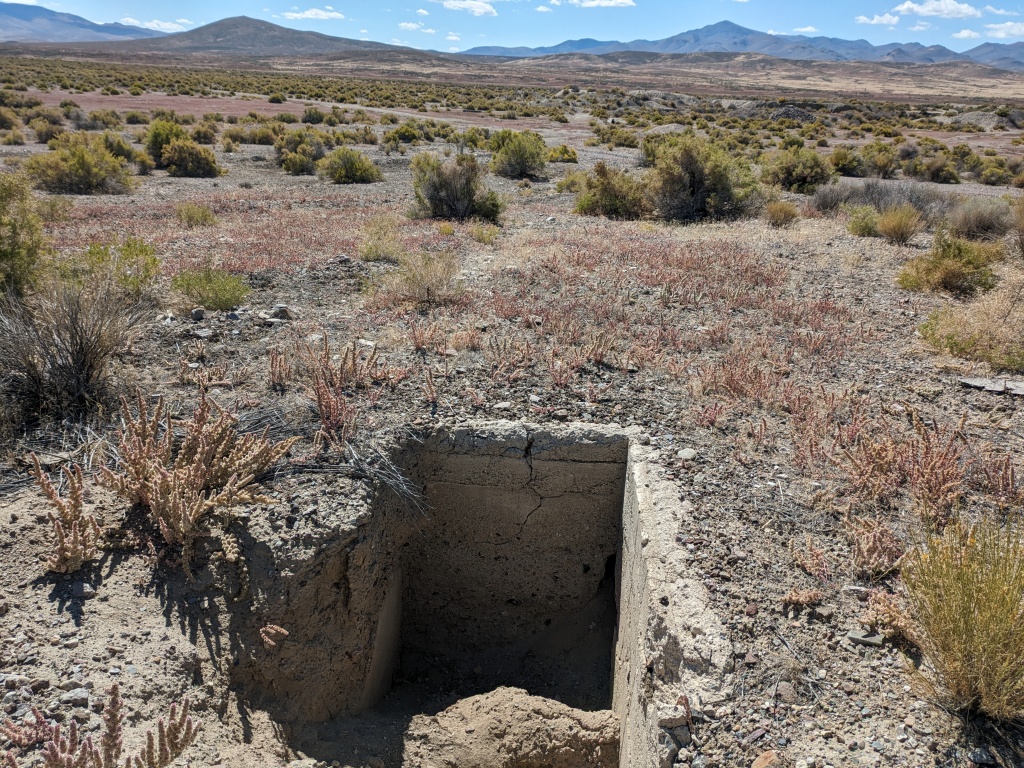
We climbed the canyon along Rabbithole Creek with a critical turn-off onto a “B-road” at mile 24.4. Now we were on our way to Placerites. Placerites is now several dug-out pits, partially filled in with water. The rest is up to your imagination. Picture hotels, stores, post office, and a canvas tent town. Placer mining in the desert defies logic but if water was available the pioneers made it work.
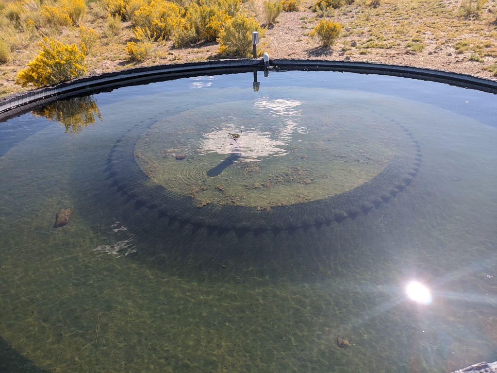
The 4 miles of faint road between Placerites and Cow Creek Rd was the trickiest navigating of the route. This was the same route we followed in the original Seven Troughs Route. Then one mile up from here is Judges Springs. There is water to take from Cow Creek but if you follow it to the source you can take water from a pipe that feeds a water trough. This is the best water source and it is only 36 miles into the ride.
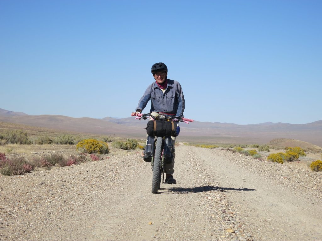
Photo Marc P
We left Judges Springs to Cow Creek Road and headed east until we T’ed into Placerites/Rocky Canyon Road. From there we climbed to the summit pass overlooking Rocky Canyon and Sage Valley below. The descent was a blast. I was torn between descending as fast as I could and stopping to enjoy the view. The final climb of the day brought us to the Farrell site at the bottom of Stonehouse Canyon. This was the end of Day 1.
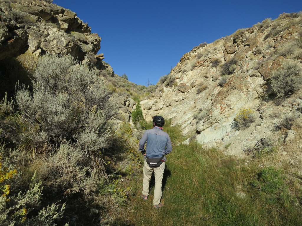
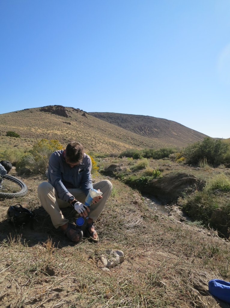
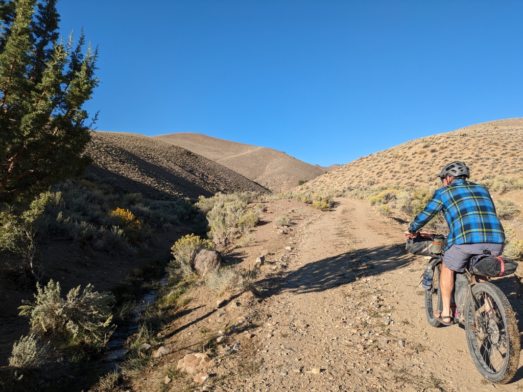
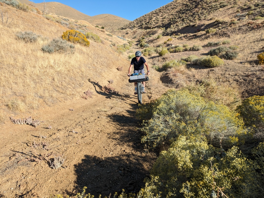
We discovered on Day 2, less than a mile from camp in Stonehouse Canyon is a flowing spring. It was a day of surprises! Leaving Stonehouse Canyon we spied a spring with a hiking trail (cow path). We were here to check things out so we followed it. It was a fun little hike especially to see water in the desert, Burnt Canyon was next and it had water gushing down a creek. Lower in the canyon we flushed out the largest group of chukar I have ever seen. We skipped Wild Horse Canyon and went on to Seven Troughs.
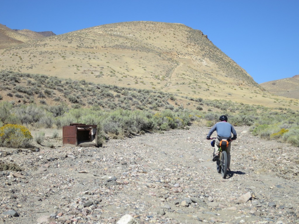
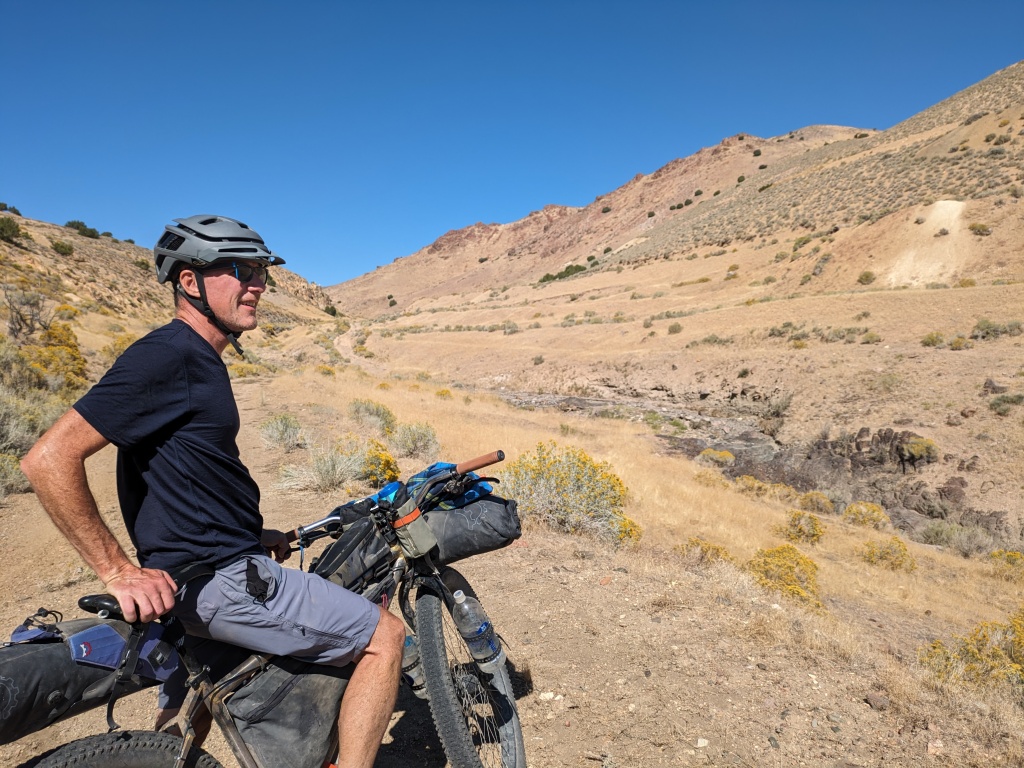
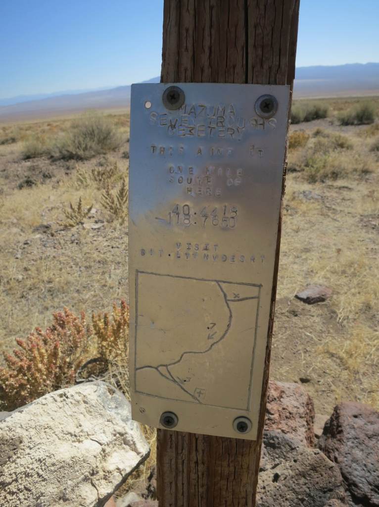
The lower portion of the canyon was Mazuma and the upper portion was Seven Troughs, both devastated by water. Mazuma has the unfortunate history of a catastrophic flash flood and Seven Troughs’ mines were plagued by water intrusion. Seven Troughs has the most of the least remains to explore and imagine what the canyon looked like in its heyday.
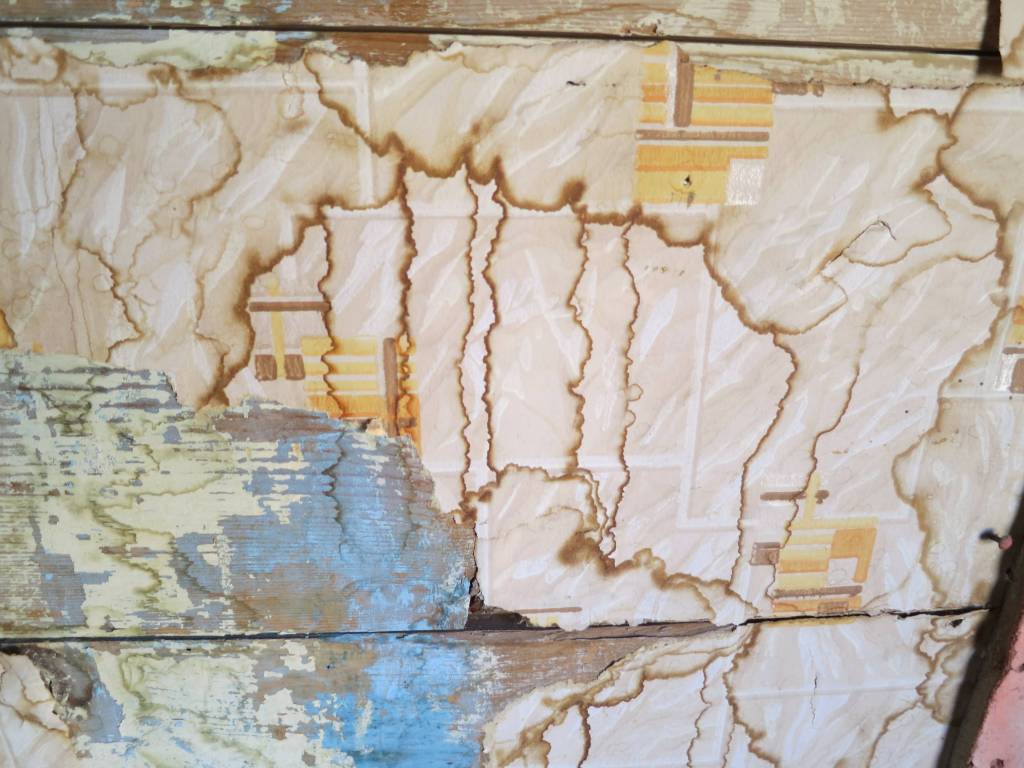
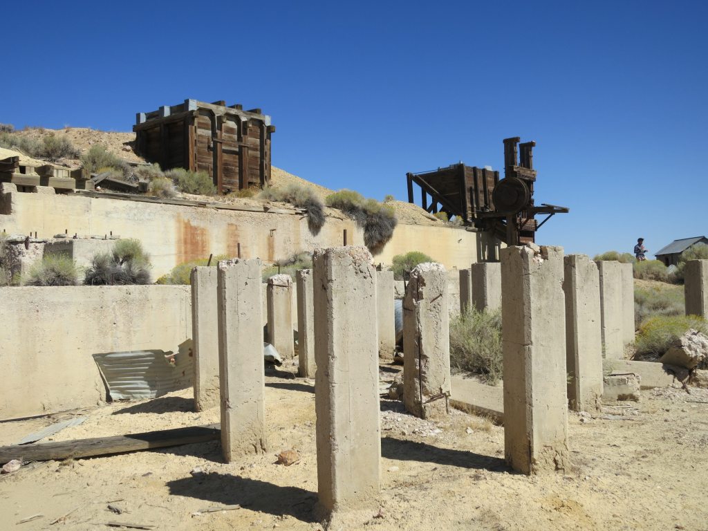
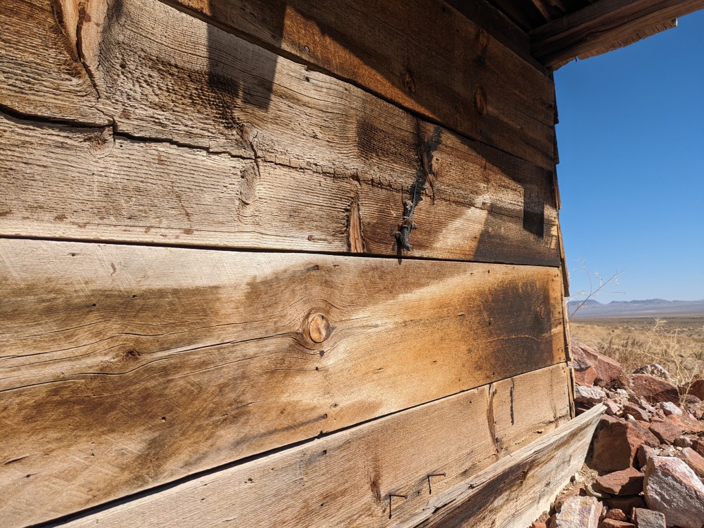
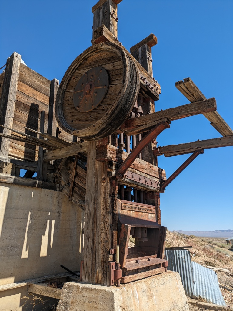
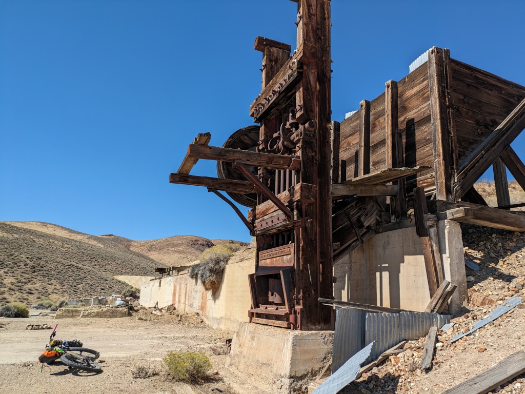
From here we went to Tunnel Camp, the gem of the area. The ruins at Tunnel Camp deserve their own guide book. My dream is to see a guide book with photos and illustrations, old and new to showcase some of the best examples of our mining history. Most sites remain in the desert without preservation. Some of our best sites are protected and managed by state and local agencies. This is one of our best sites for the number and diversity of buildings.
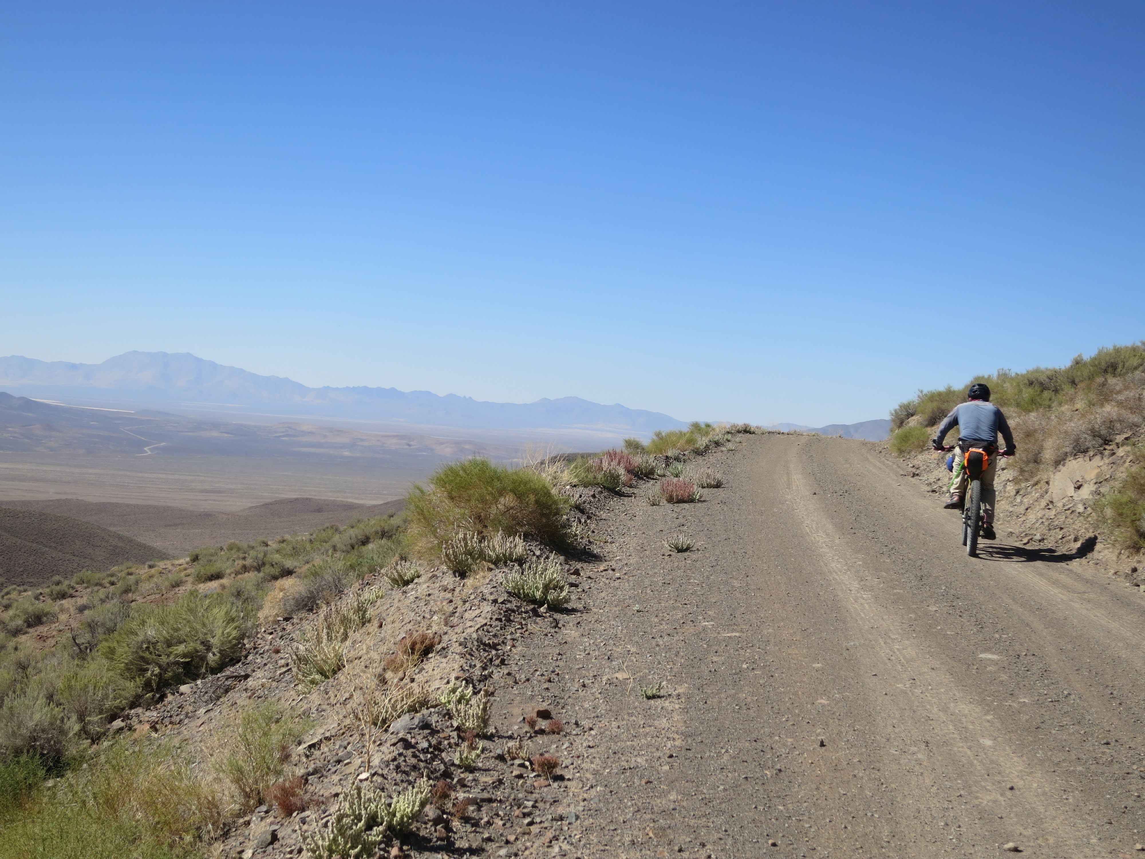
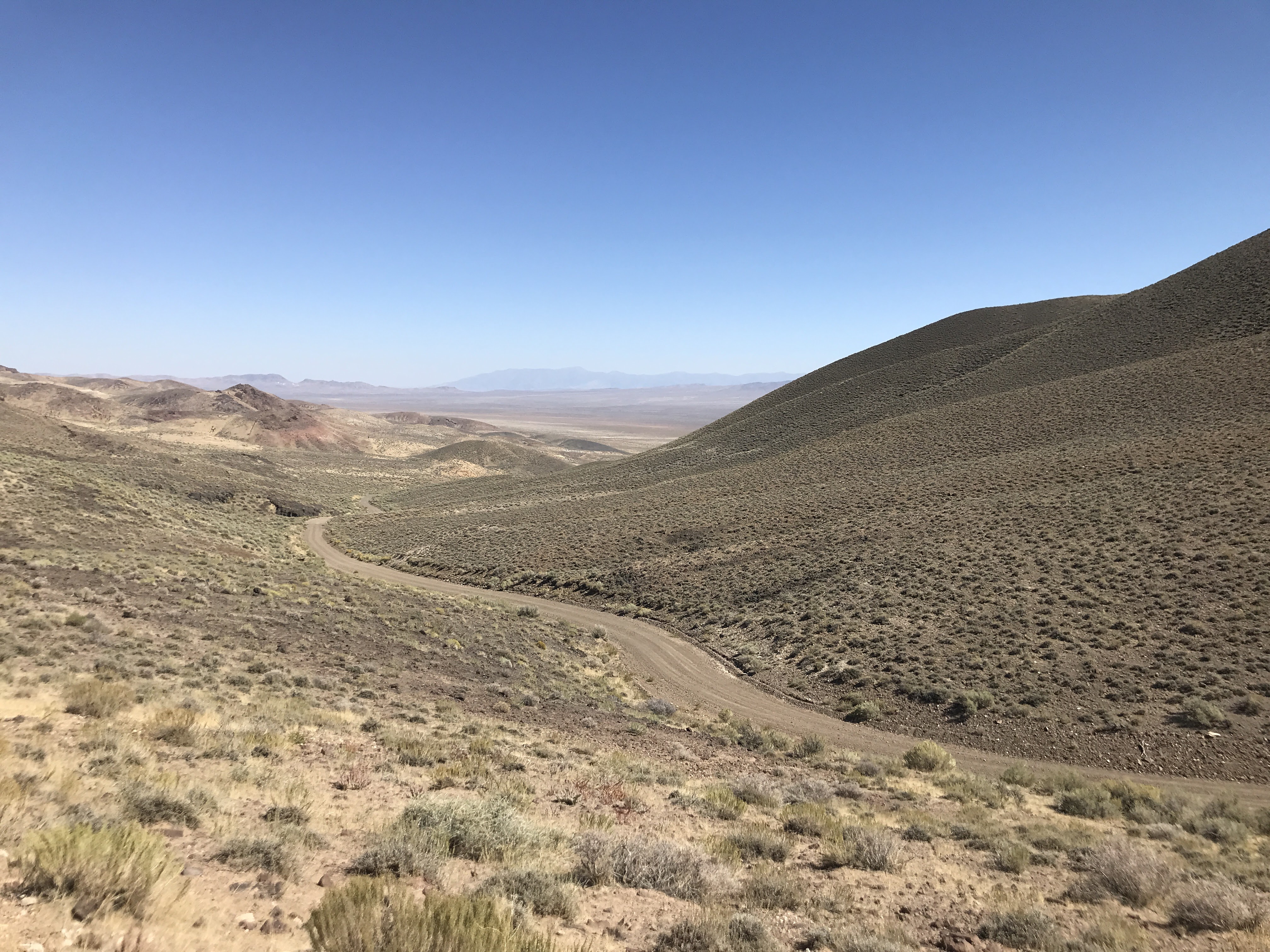
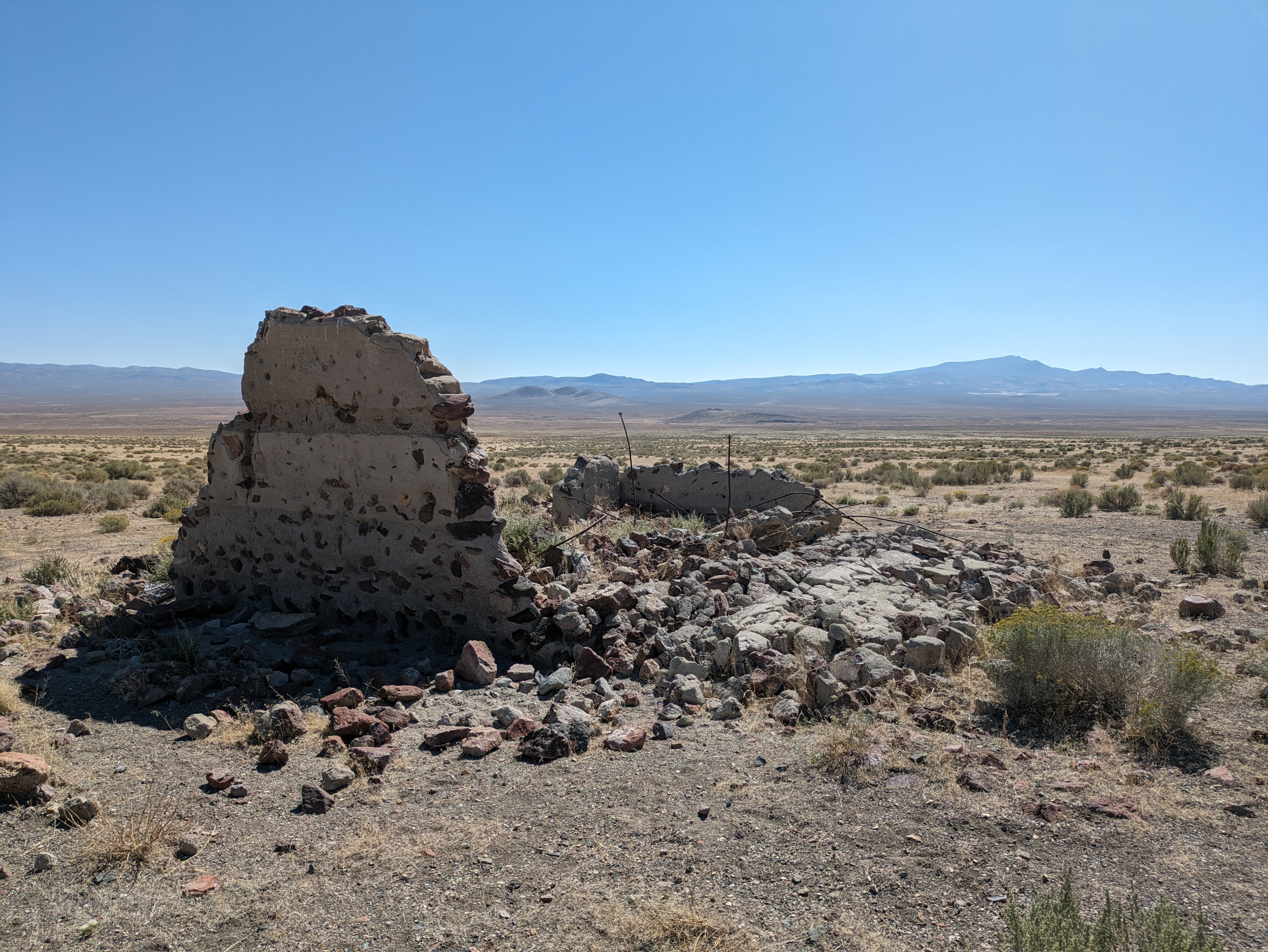
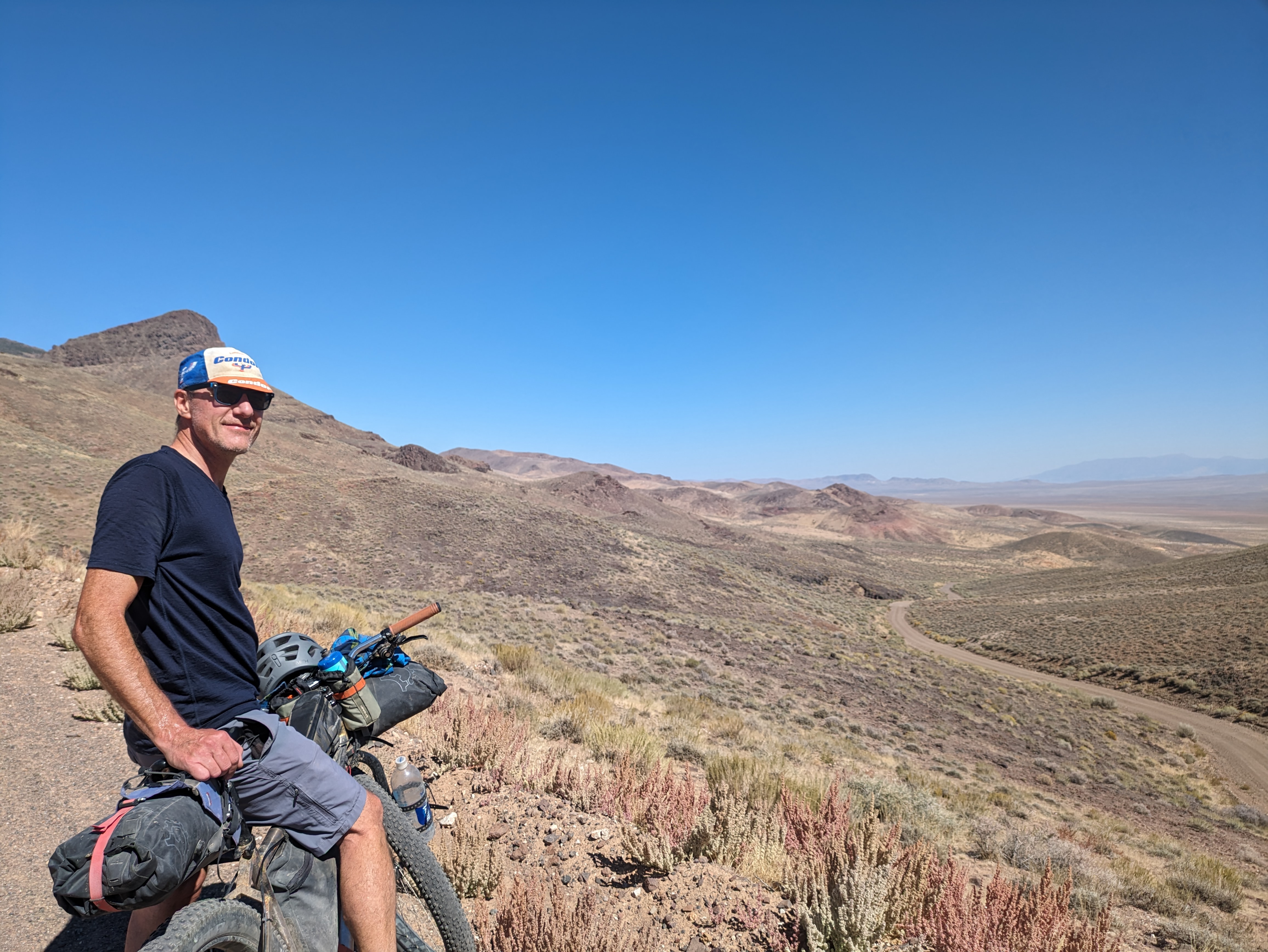
From Tunnel Camp we bypassed the canyon with Portland and Fairview Mines. At the bottom of the canyon are the remains of the jail at Vernon. This is where Doug’s Seven Troughs route began. This point has easy access from Lovelock on I-80. From here we had our climb for the day, though it really wasn’t much more than the climbs we had been doing to this point. It is always interesting what your mind creates from memory. We had descended this at the end of Doug’s route. But my strongest memory of the summit was the incredible view to the southwest of the Sahwave and Bluewing Mountains. Here my memory did not fail me.
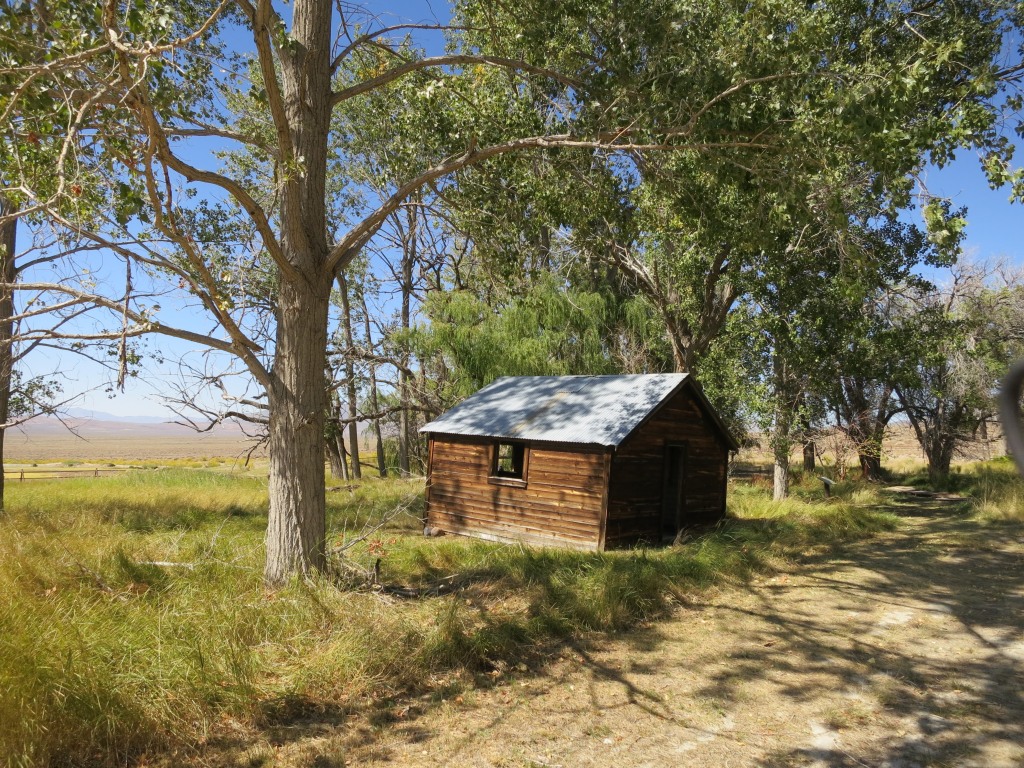
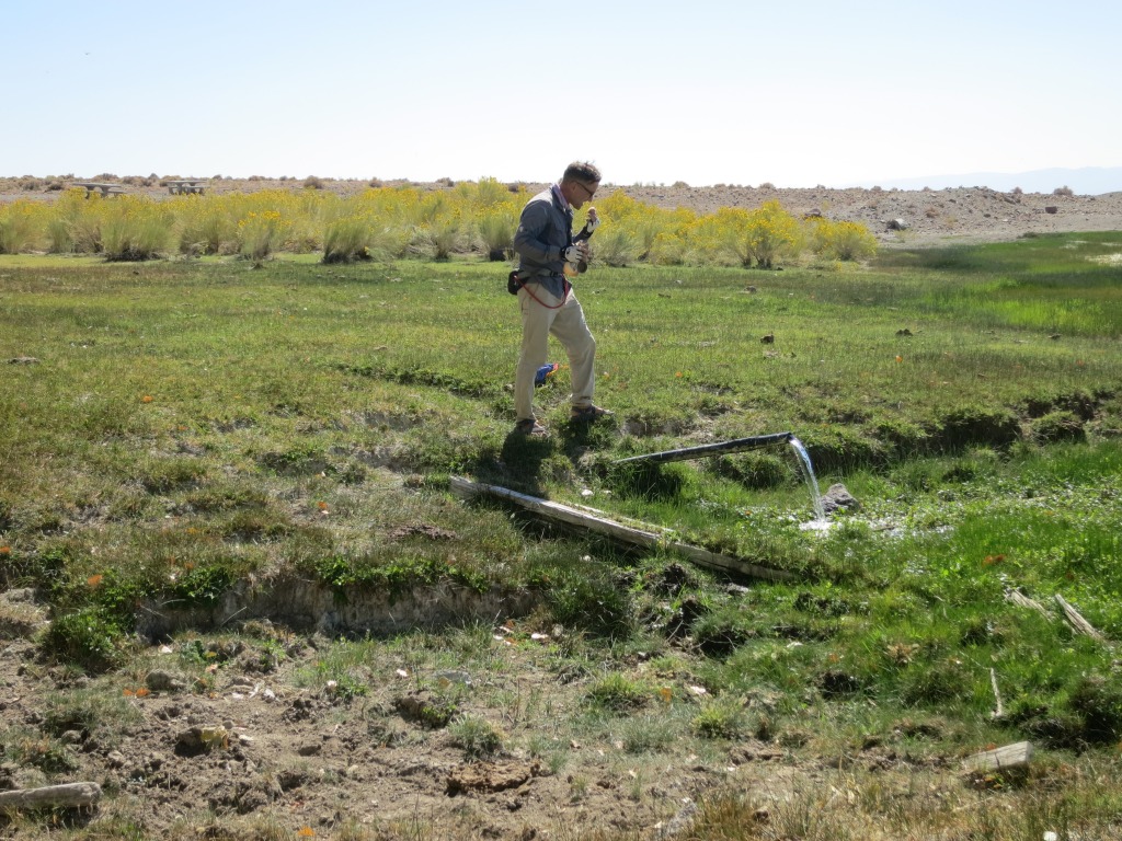
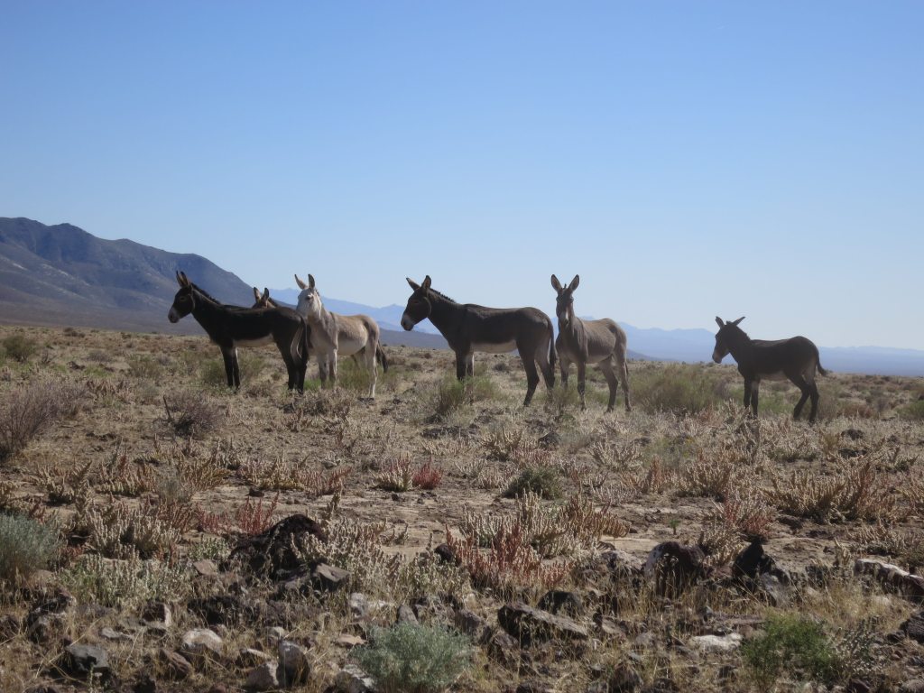
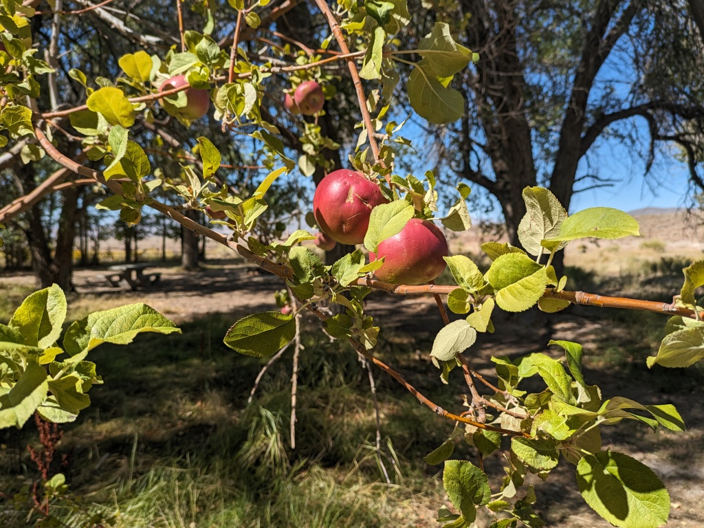
We passed a significant spring on our way to Porter Springs Recreation Area but there was no need to try to get water here. Porter Springs is rich in cultural and natural history. It offers everything you need for a place to rest, refresh, and camp if this is how you plan your loop. There is shade, fruit trees, water, interpretive signs and kiosk, and vault toilets. Even more so than Trego Hot Springs, it is the most developed point on the route. Marc shared a Walking Tamale with me, this is a great touring snack.
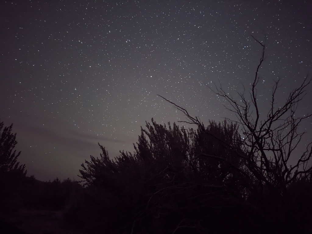
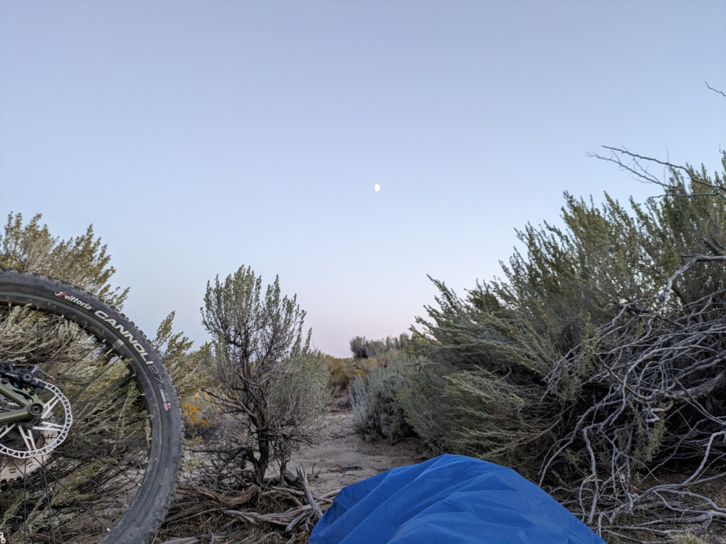
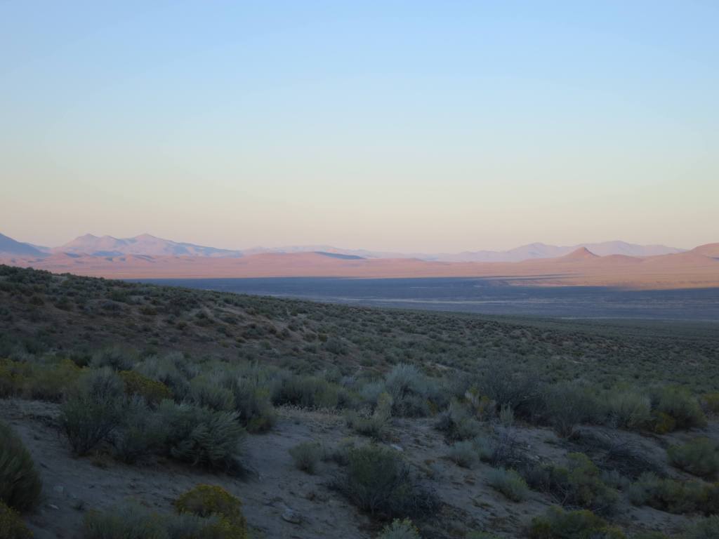
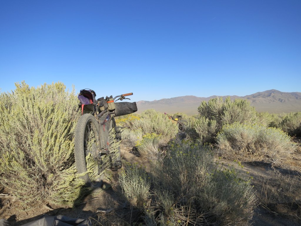
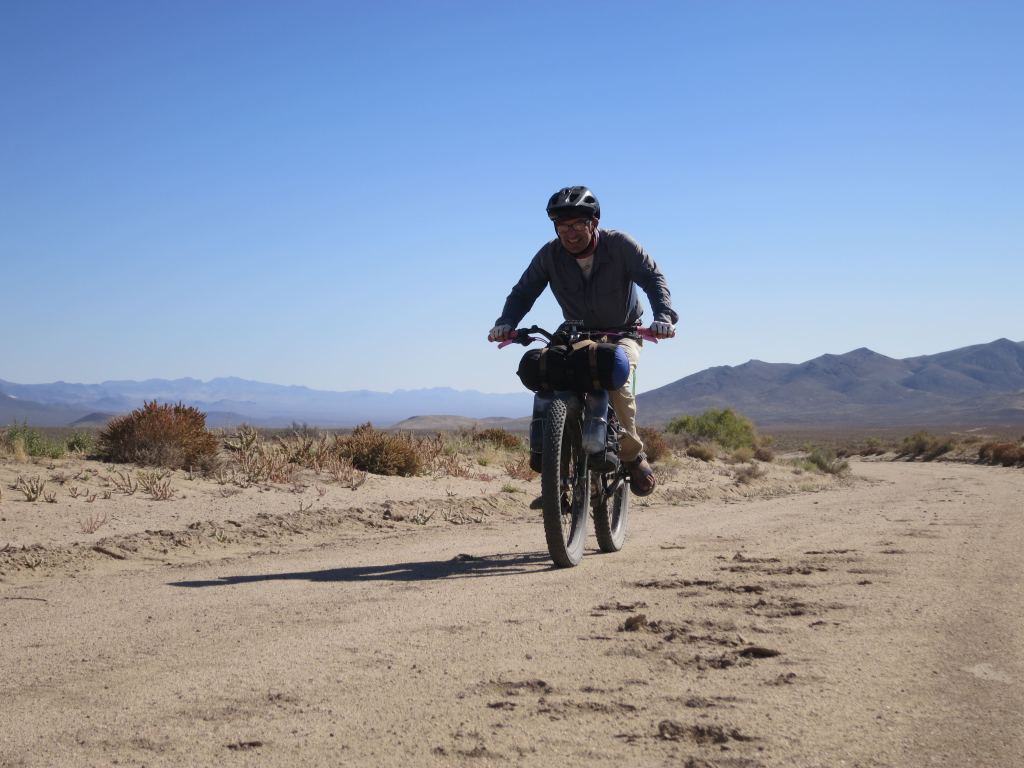
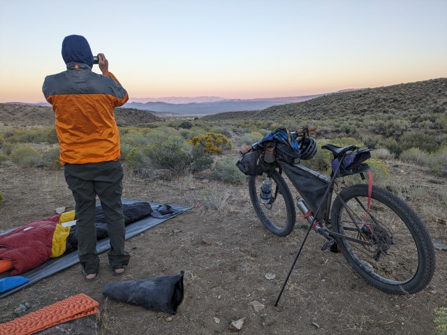
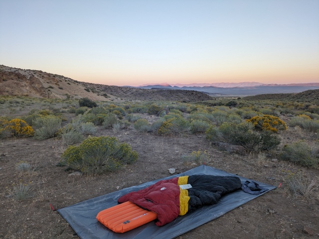
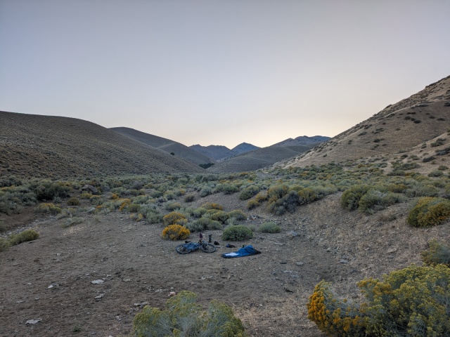
We followed the route from The Lava Beds Loop through Granite Springs Valley along the Hannan Range. Just before our turn into the range I told Marc I was done for the day. I felt like the 4 mile or so climb to Sheep Head Spring would be unfun right now. So we camped. It was a great spot and my legs were happy to have a break.
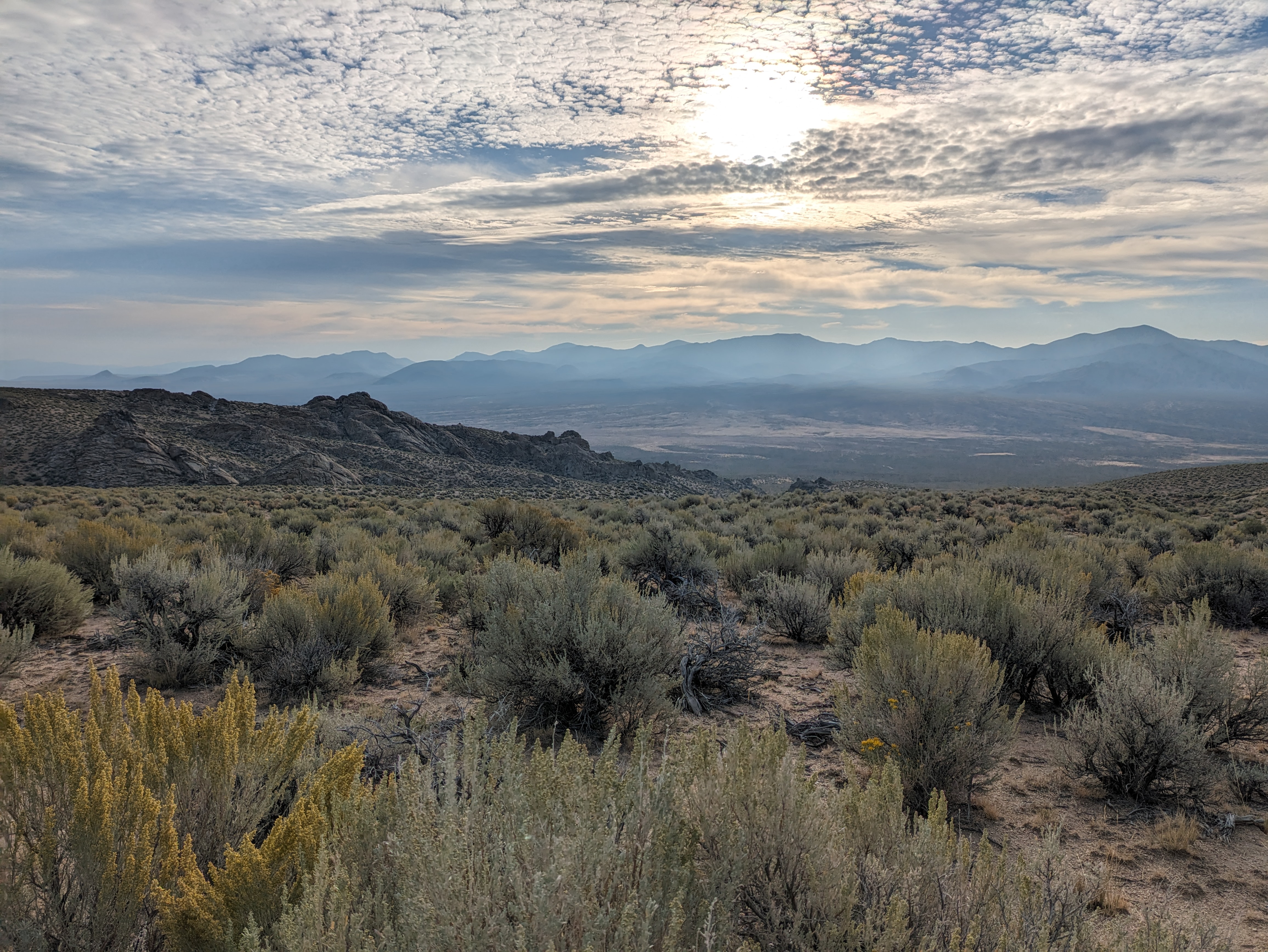
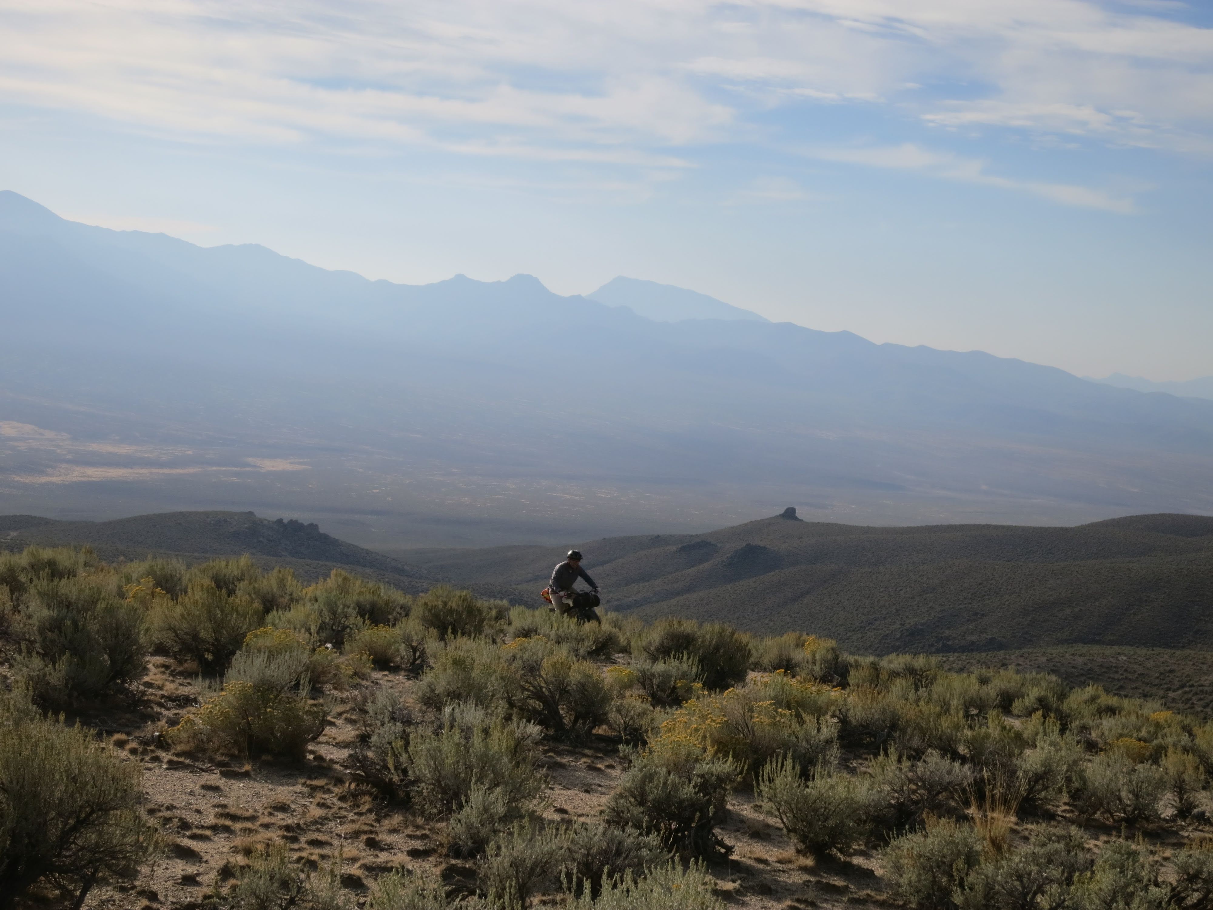
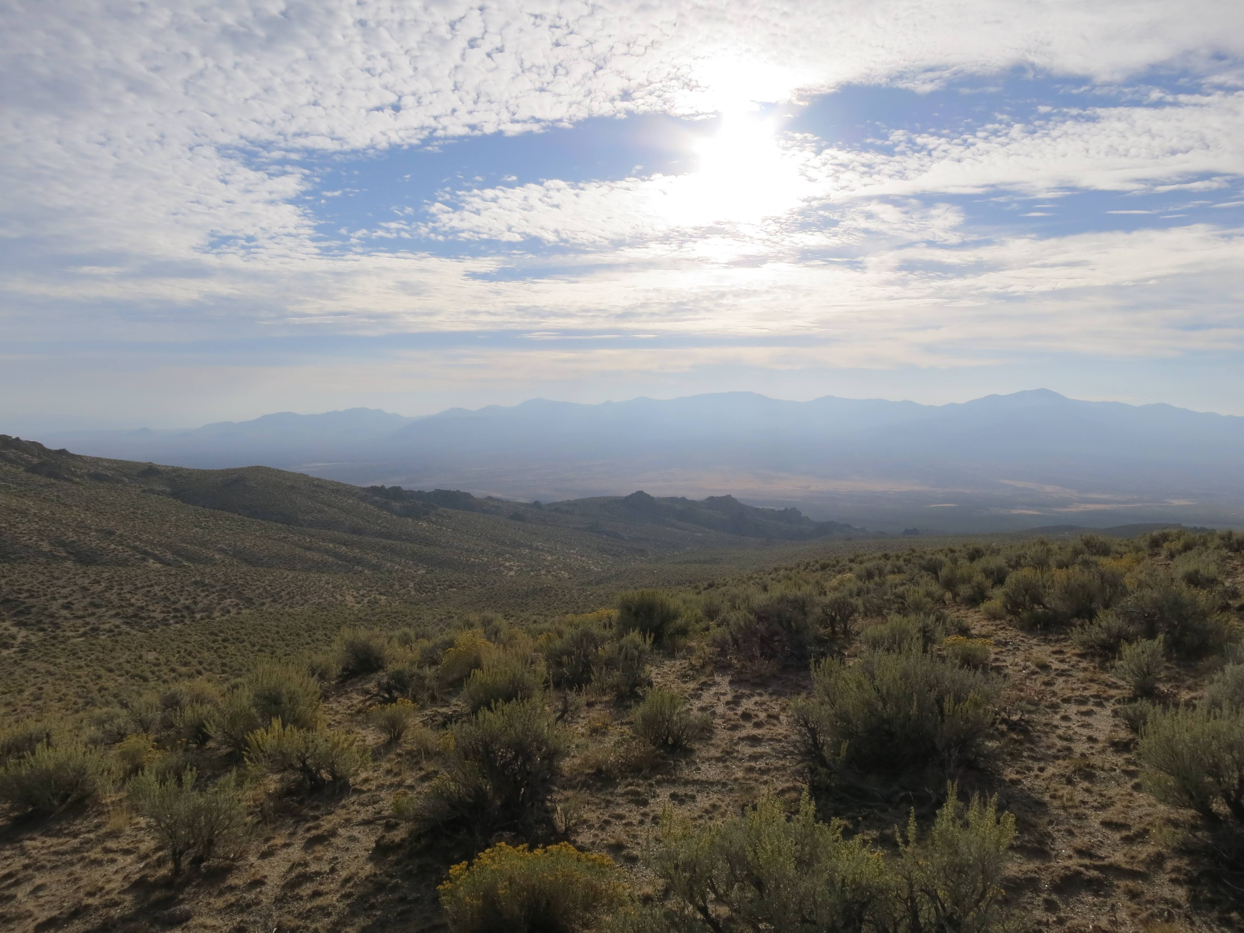
The climb to Sheep Head was ½ what I remember it as. I think in part my memory included the complaining of the riders on the Lava Beds Loop ride. Climbs at the end of a day’s ride are bound to elicit grumbling from a group. But with fresh legs it was a nice climb. The views were every bit as inspiring as I remember. It is hard to have favorites but this area might be one of them. The statement loses it punch when I say this about every trip.
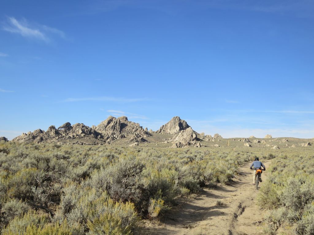
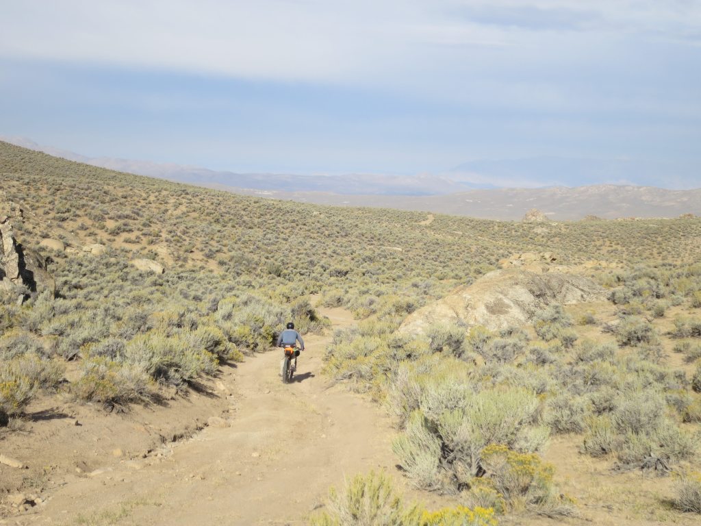
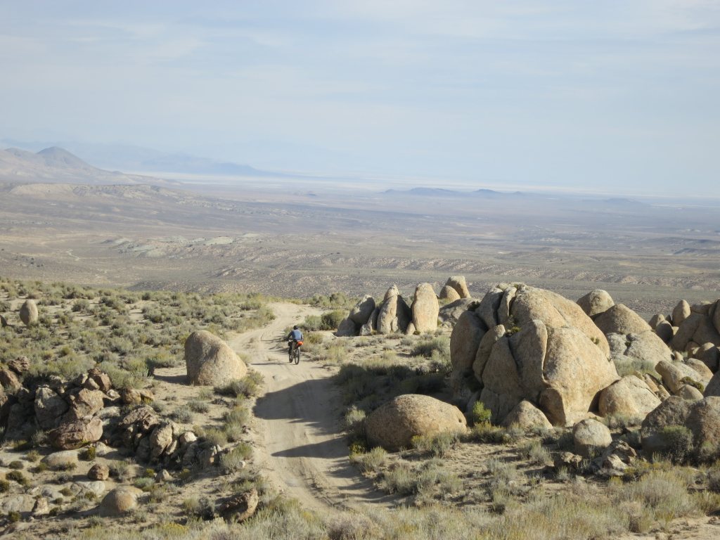
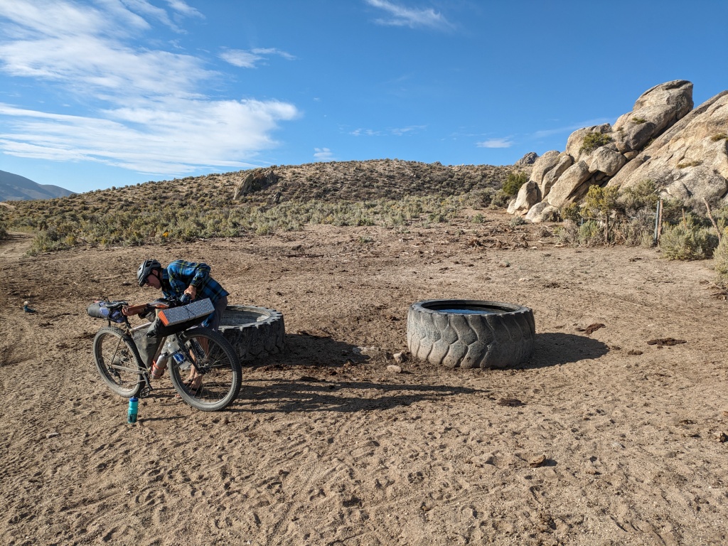
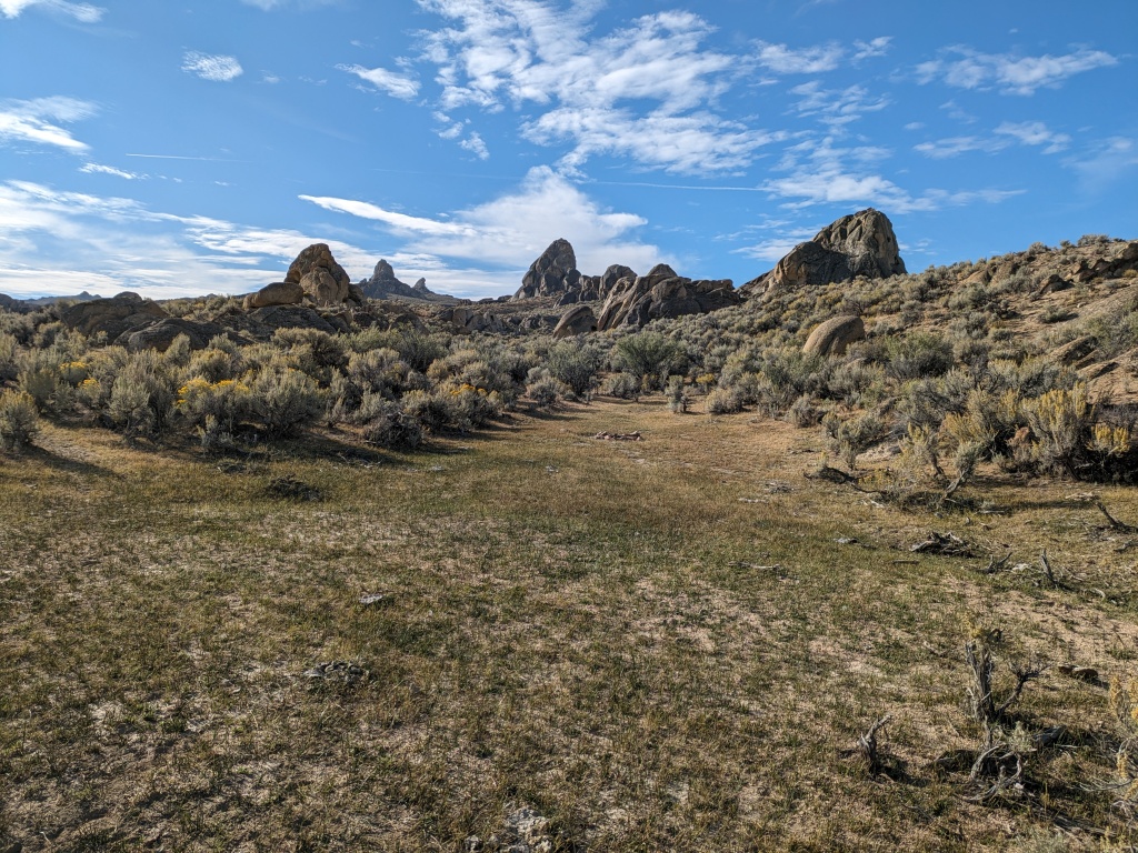
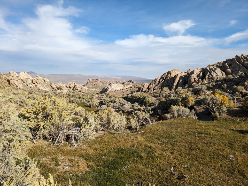
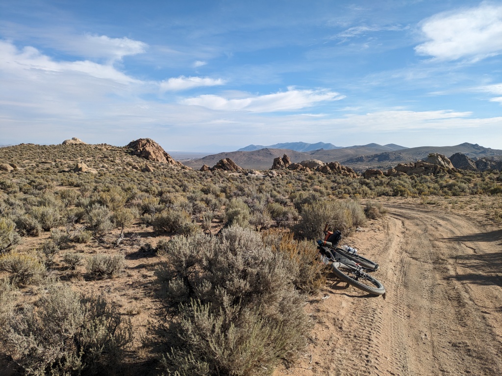
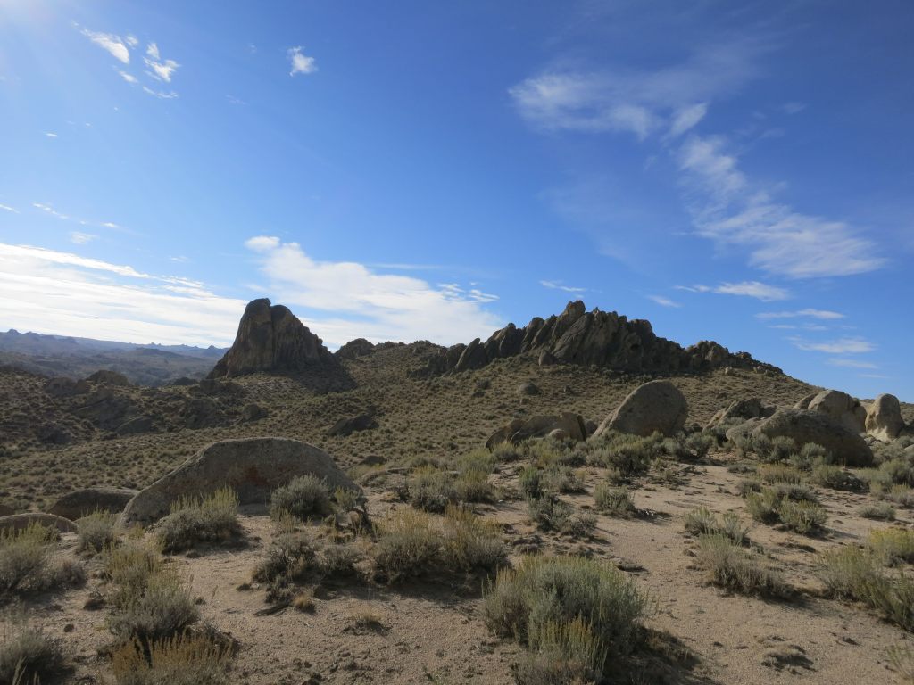
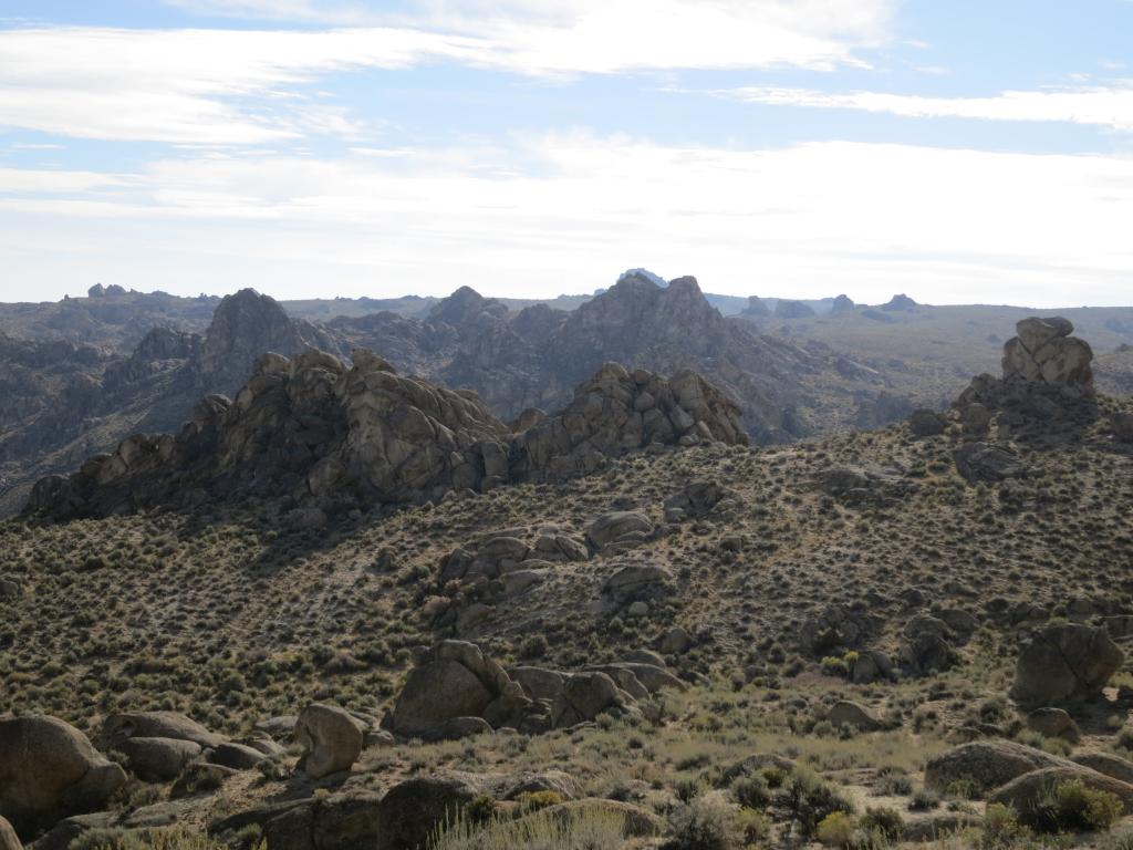
There is something comforting about seeing an elephant from a safe distance. When Elephant Head rock came into view we knew where we were. Sheep Head Spring had water for us. Now we were about to turn off from the familiar route to descend through the Lava Beds to follow Lava Beds Creek. This new-to-us route was a showcase of the rock formations the Lava Beds are best known for. There were several springs and dispersed campsites as well. We passed by the Lava Beds camp which is the best site for a group campsite. Both Marc and I had traveled through this area before but we were freshly convinced that this area is in need and deserving of protection and conservation through an education campaign directed at the main user groups. I think Tread Lightly, Nevada Off Road, Leave No Trace, Backcountry Horsemen of America, the BLM, and local Friends groups should work together to create a model plan for conserving this area.
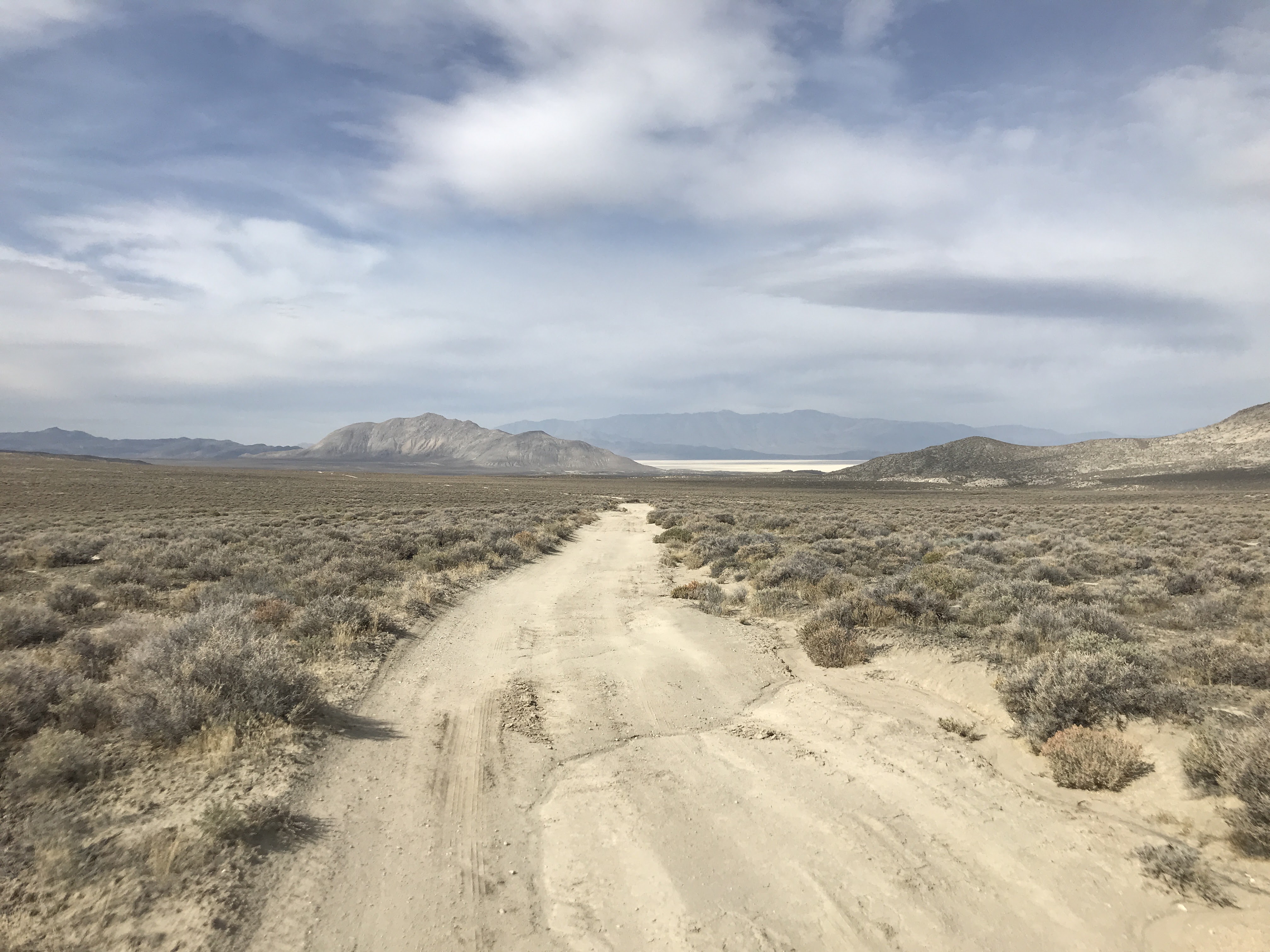
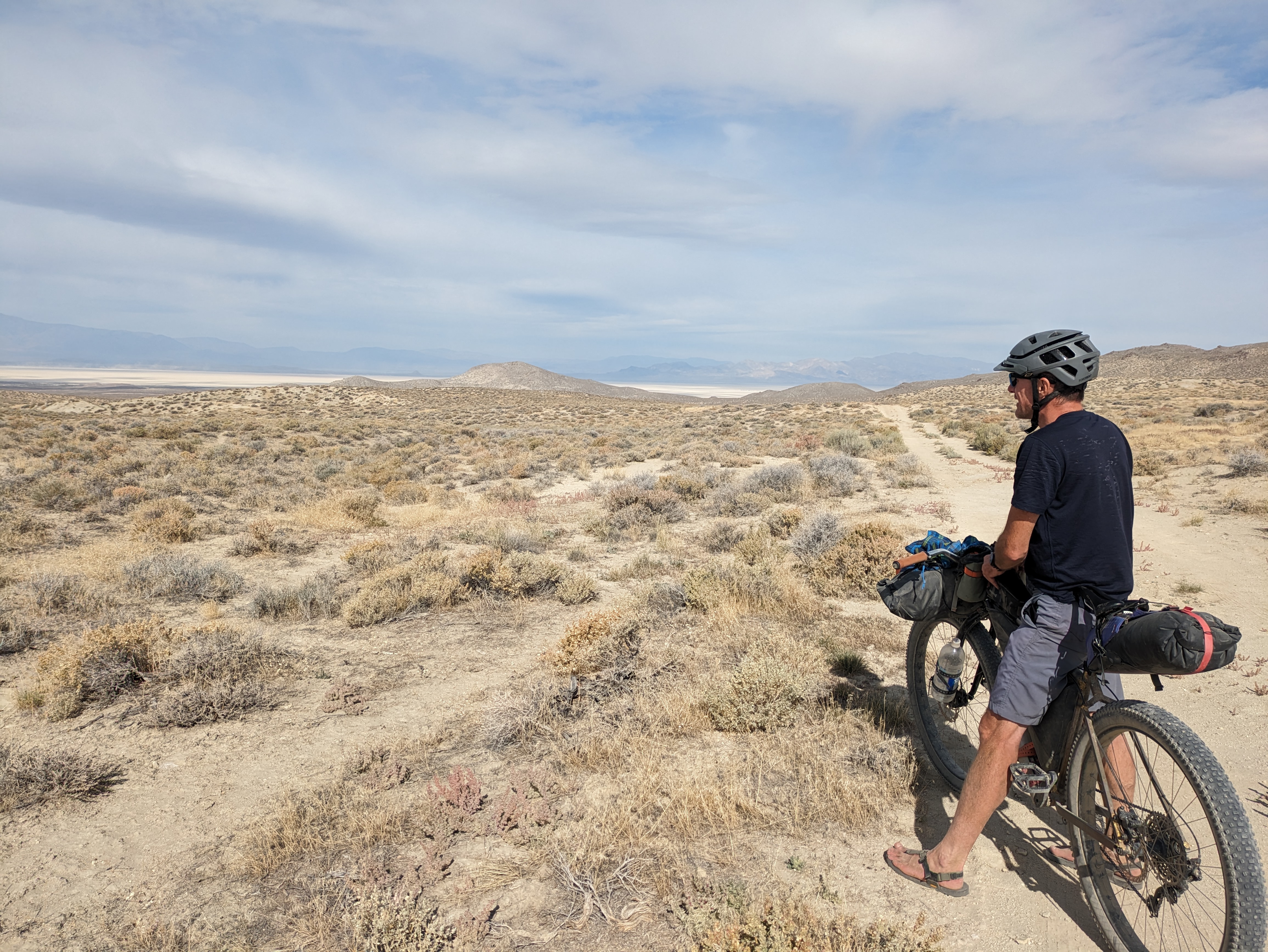
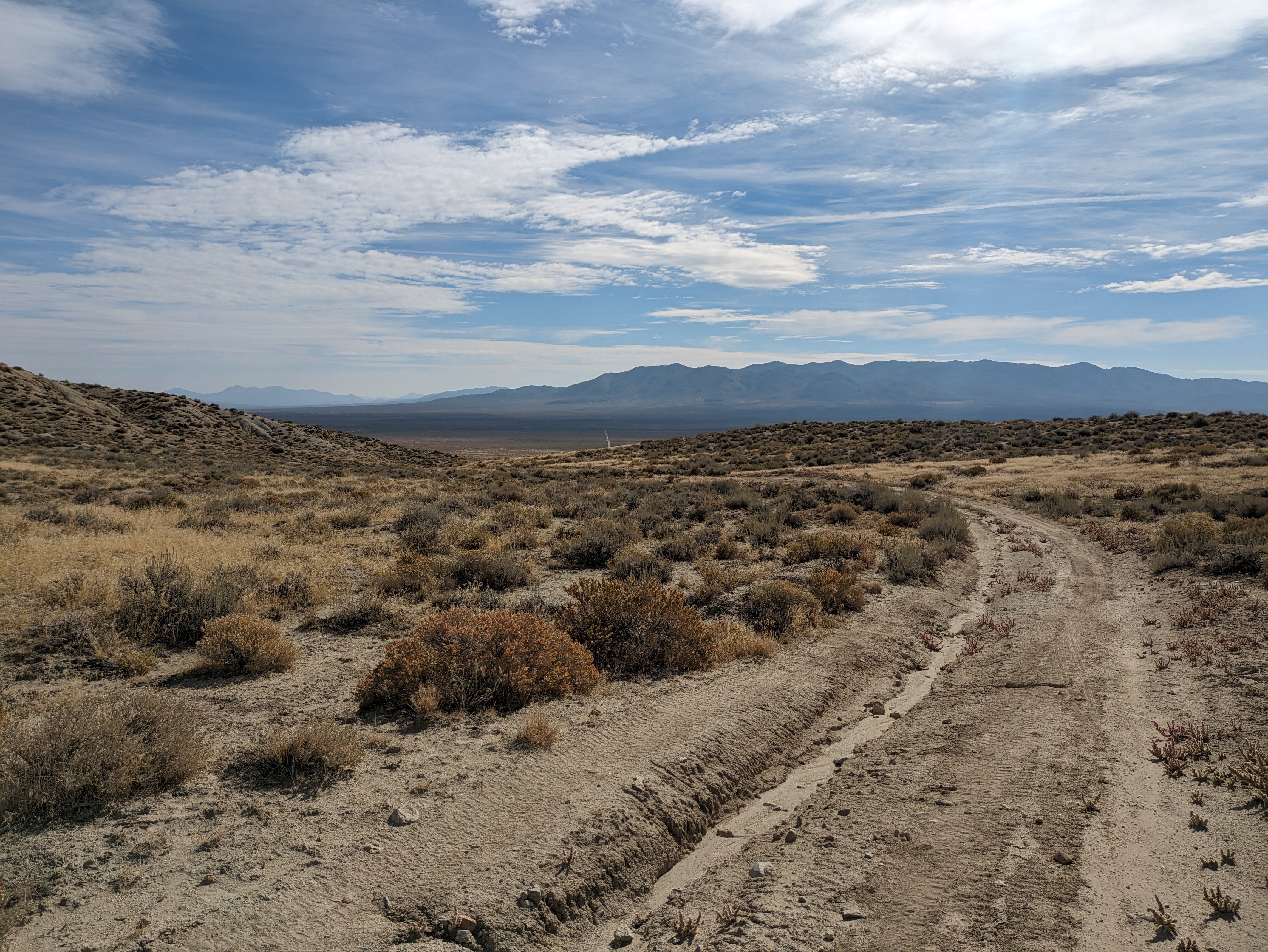
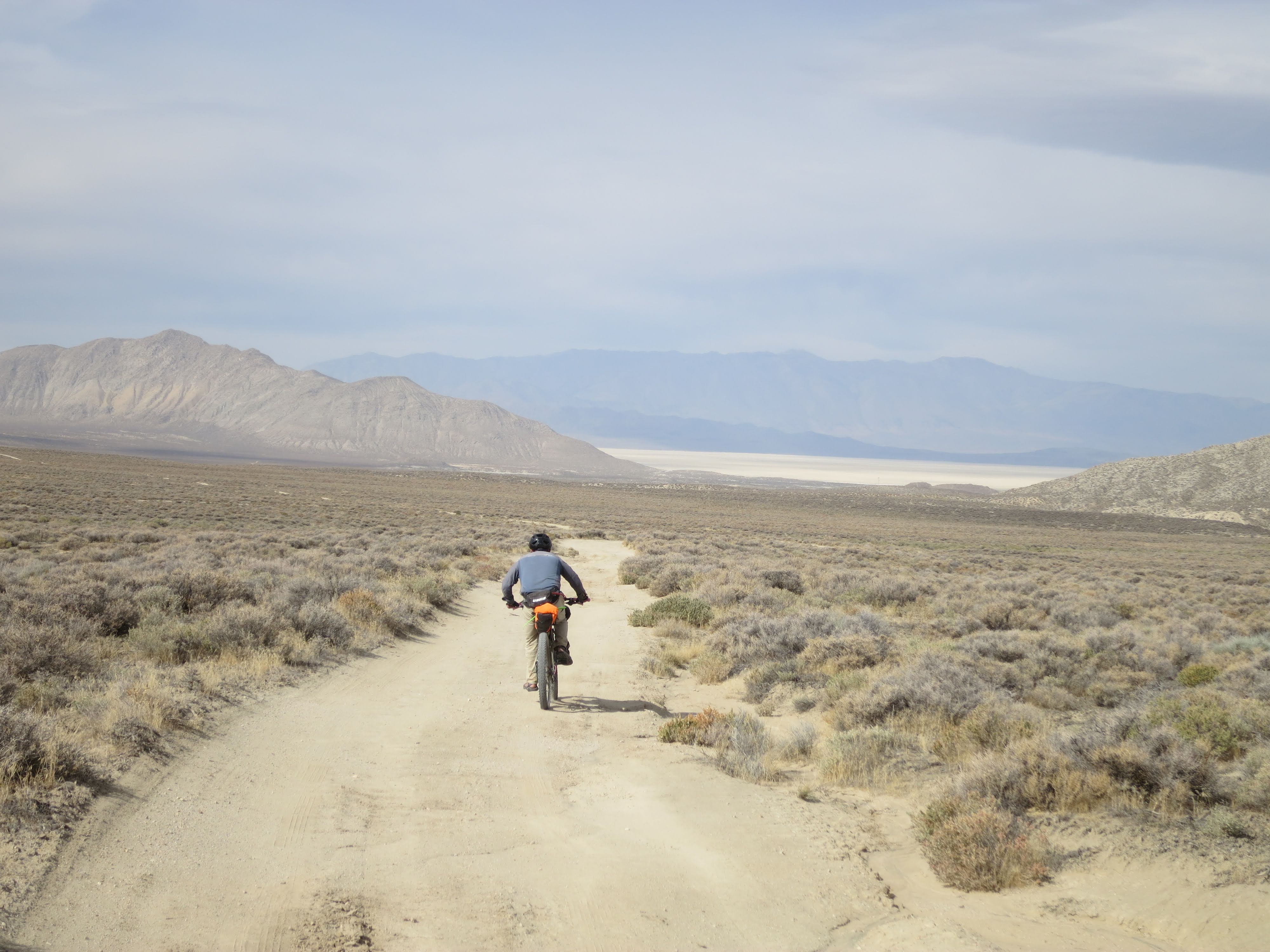
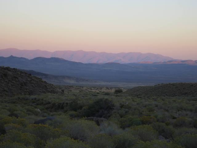
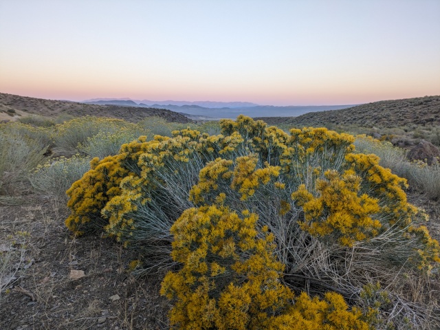
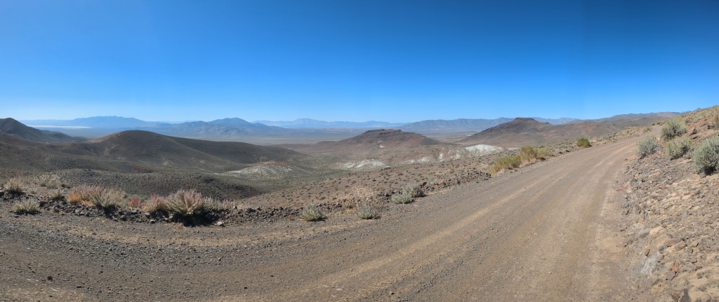
Our next bit of new-to-us route was to cross over the southern shoulder of Pahsupp Mountain. I picked this route originally to create a loop rather than to go out and back from Trego Hot Springs. The road existed in theory on the USGS maps as well as Google Satellite. So as long as we weren’t riding a river of sand we would be ok. It was a bit sandy but overall a good road. It was shocking after climbing 300’ we crested the shoulder with an amazing view of the Black Rock Desert. The image of sagebrush in the foreground, Razorback and the playa in the midground, and the Calico Mountains in the background was more than I could capture in a photo. Go see for yourself. All I could think was, this is why we work so hard to conserve our public lands.
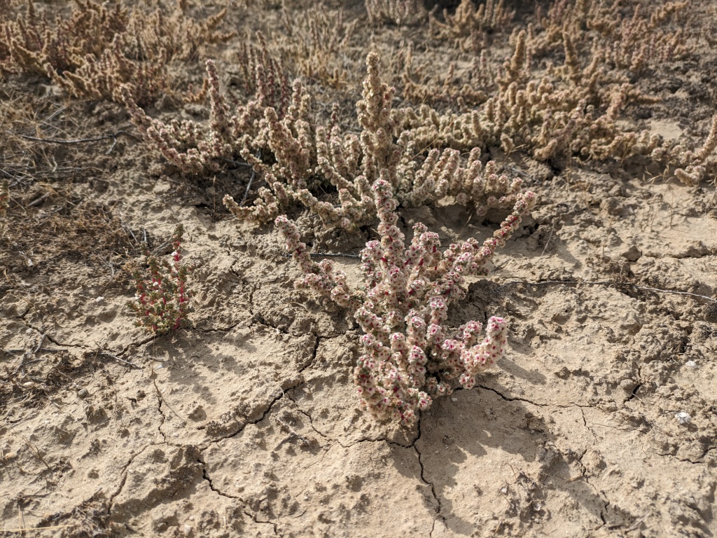
The descent and end of the loop to Trego Hot Springs was a bit sandy and I was glad to be descending this road not climbing. For this reason I would recommend the direction we traveled. There was a fascinating flower along the road that seemed so well adapted to the desert. As fate would have it it proved to be a noxious weed. Ugh! Unfortunately widespread weed control is not an option. We passed through the popular motorcycle pits opposite Trego before receiving a “heroes” welcome at the Springs.
“Glad to see you are alive,” a camper said as we passed. Yep, very much so. The camper closest to where Marc and I rolled out from had reported us missing when we didn’t return that first evening. I’m not sure if he contacted Pershing or Washoe County Sheriff’s Office but he called them back when we returned. He thought we left without any gear. I thanked him for his concern. This brings up leaving a note on our vehicles for law enforcement or anyone concerned, it would have dates and area traveled, maybe a contact number. Of course that leaves it open for the nefarious to take advantage of the situation. The idea always reminds me of the vehicle note from Don’t Skip Out On Me by Willie Vlautin, “…he took out a laminated sign – THIS TRUCK BELONGS TO THE REESE RANCH. PLEASE DON’T VANDALIZE! WE’RE A MOM-AND-POP OUTFIT– and put it under the windshield wiper.” Great book by a great contemporary author. My next thought was, well, the Sheriffs didn’t seem to be too concerned. We were easy to find.
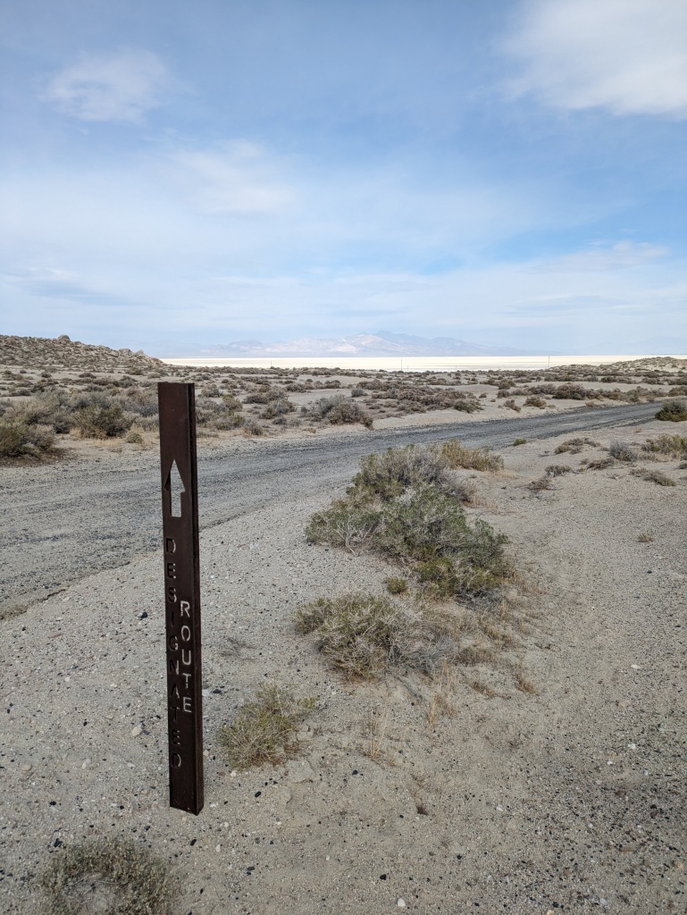
By the numbers I had planned a 125 mile loop with an estimated 9,300′ of climbing. We rode 117 miles 7,600′ of climbing. With some refining of the route I hope it will be a loop with canyons and mines to explore that could range from 120-160 miles depending on what one chooses to include. Spread over 3-4 days it should be a enjoyable route.
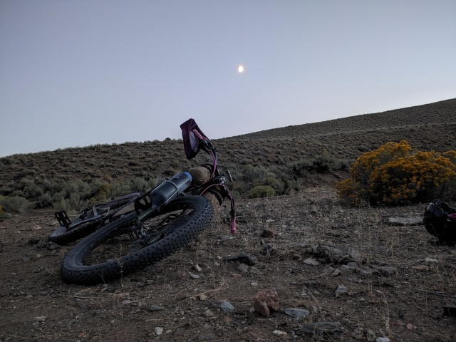
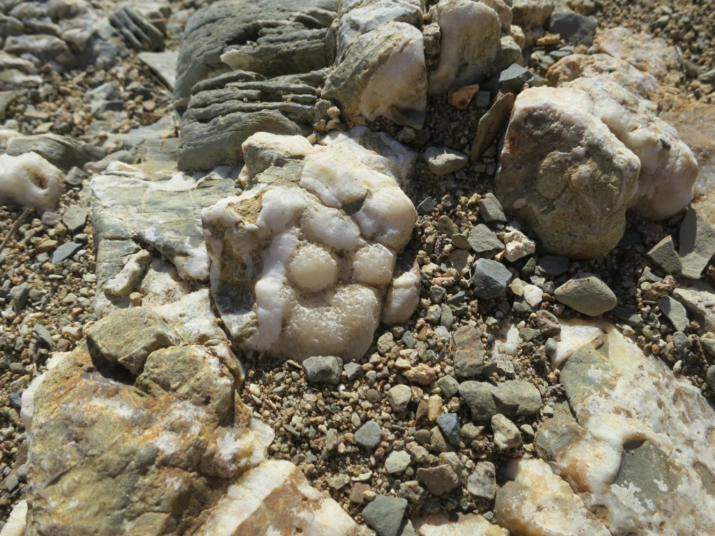
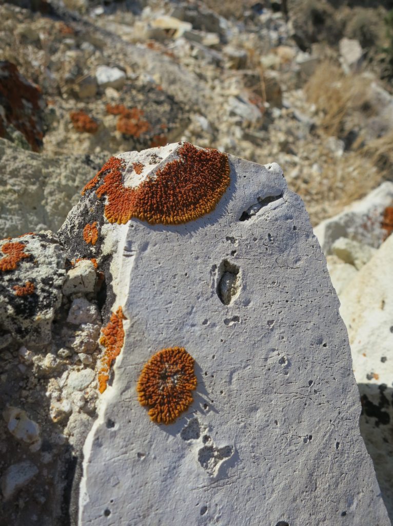
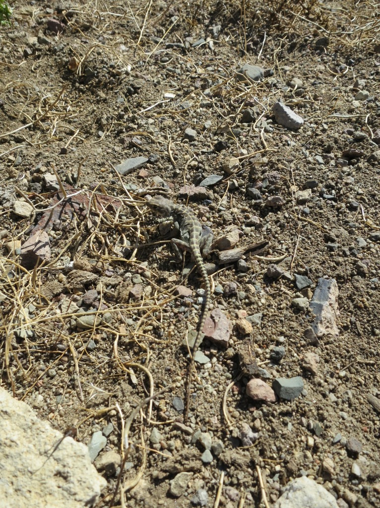
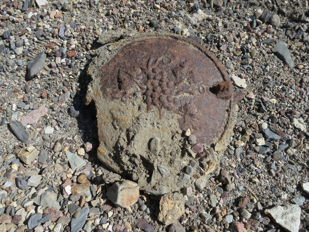
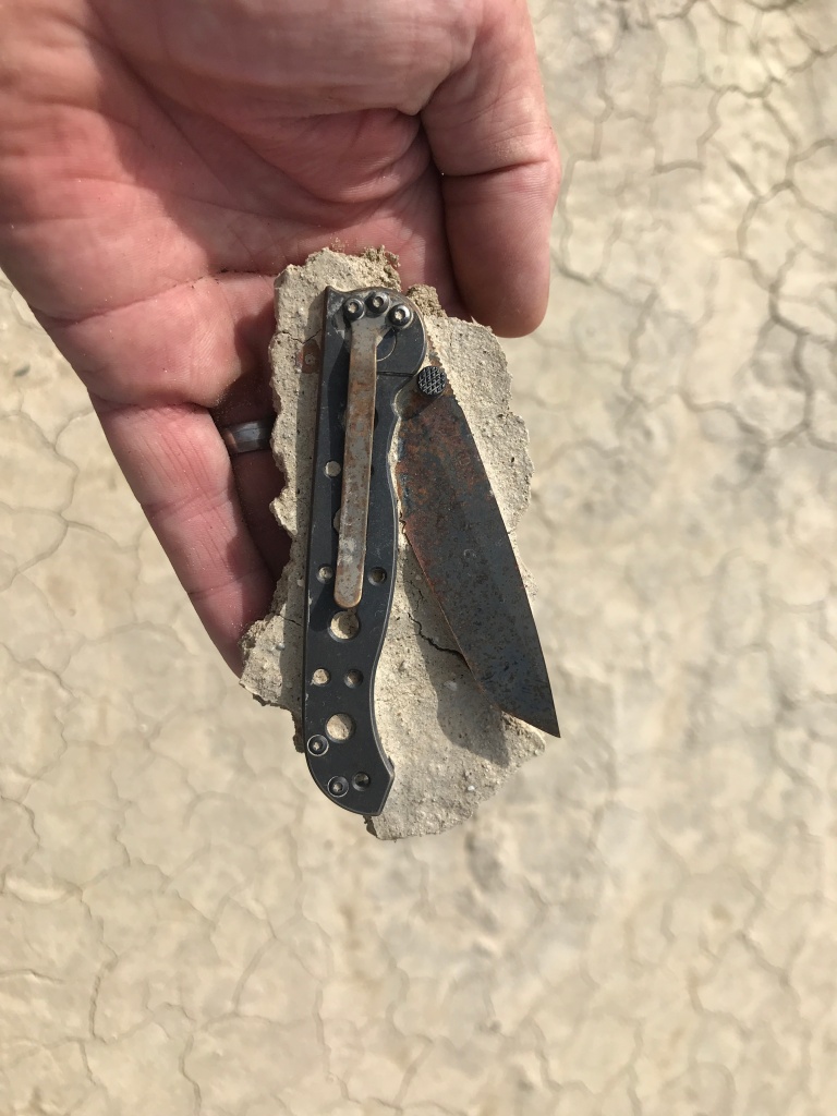
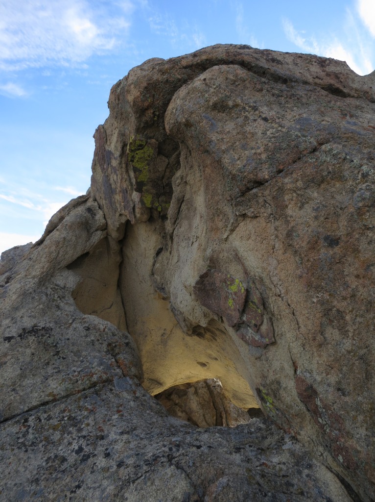
Huge thanks to Marc Pfister for accompanying me on this route, making suggestions and taking photos of the grand and the minute. Here is a sample of his minutia.
What’s next? I want to repeat the route with a little more definitive exploration of the canyons and mines between Rabbithole and Porter Springs. If others repeat the route I would appreciate the feedback. Ultimately I will write this up for Bikepacking Roots Community Routes Project. Their growing body of national routes is now being matched by local routes curated and stewarded by riders who call that area home. If you are planning to ride any of these areas reach out to these passionate individuals you are sure to get additional beta.


Glad to have been an influence! I look forward to coming up and riding some of these slightly longer routes
Let me know anytime you can come up! For any length of time, I am happy to put something together.
Thanks for sharing. Excellent job on the write up! I’ve been putting rides together in N. NV for a few years now. I’ll add this one to the quiver.