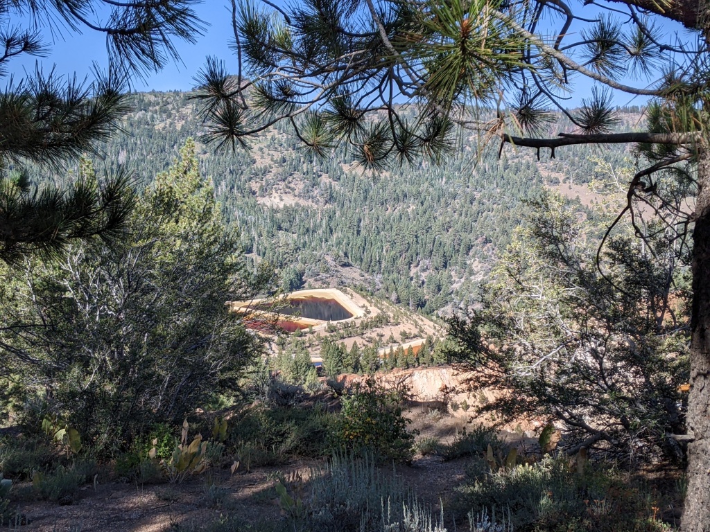
September 13, 2023 South of Gardnerville on US 395 is Simee Dimeh Summit and just beyond that is Leviathan Mine Road. The mine’s name had always intrigued me, why have a nautical themed mine? Even if in name alone. I looked up the explanation of Leviathan and it was a Biblical sea monster, serpent or whale-like creature. A more secular explanation was being gigantic but still of the sea. Was this to be an accurate premonition of this current superfund site, where the sulfuric acid mine drainage leaches contaminants into the 9 miles of mountain streams until they empty into the East Fork of the Carson River. The Leviathan Mine was primarily an open-pit sulfur mine, used by the Anaconda Copper Mine in Yerington (another superfund site) for processing copper ore.
While I was interested in this area, the roads quickly entered California and I wasn’t sure if there was access around the mine propper. So, it was on a back burner. Pete Rissler and I biked down to the Carson River via the turn-off to Bryant Creek/Horse Shoe Bend Road, but we didn’t discuss Leviathan Mine further. I didn’t do any background research before riding this. But there is plenty of information out there. Here is a dirt road adventure by the “Picon Guy.” Here is the overview of Douglas County by Off-Road Nevada. Here is the adventure ride series from Alta Alpina. I planned a route on Ride with GPS, and pitched it to Doug A with the disclaimer, “I don’t know if the road goes through around the mine, let’s see what we can ride.” Doug was game!
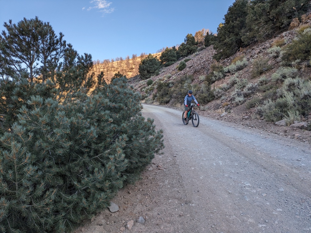
Our first impression: the road was in amazing condition. I assume that the ongoing work at the mine required reasonable maintenance of the road. There were even markers for the snow plows so I am wondering if it could be a route for our annual winter slowpacking trip.
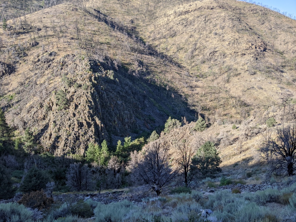
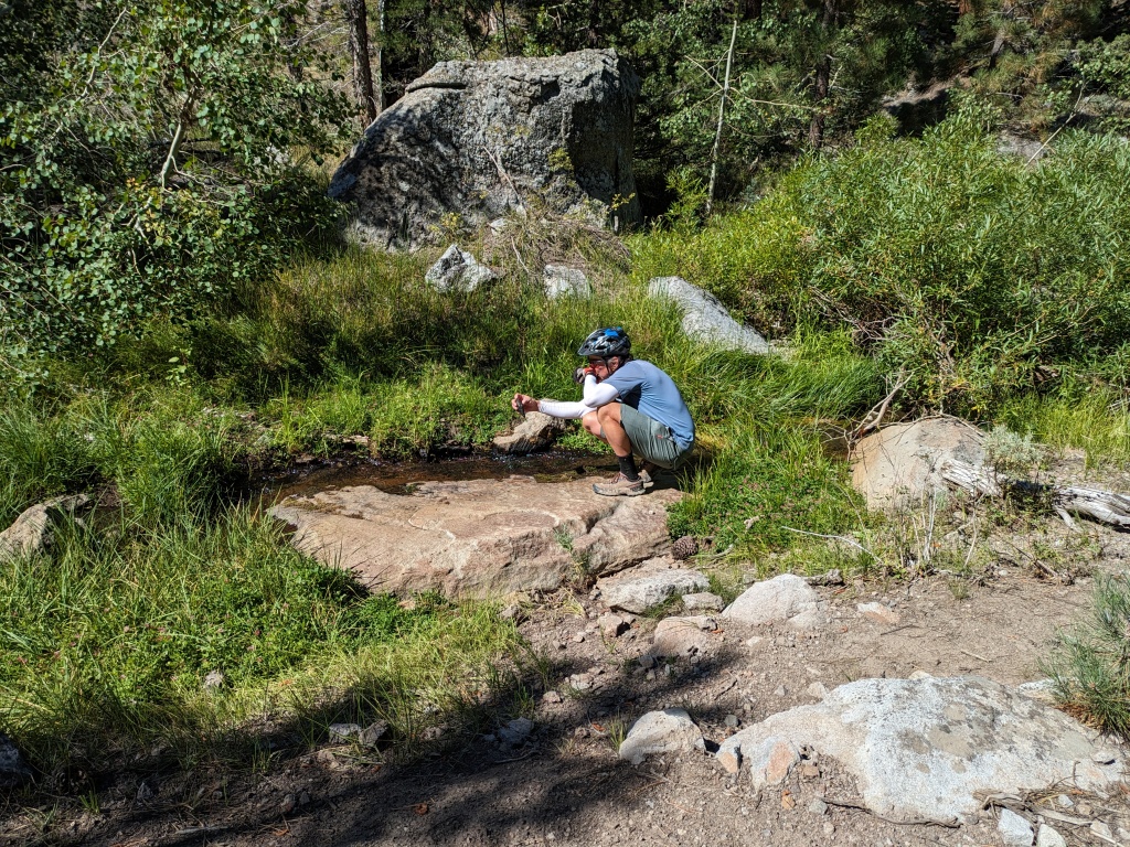
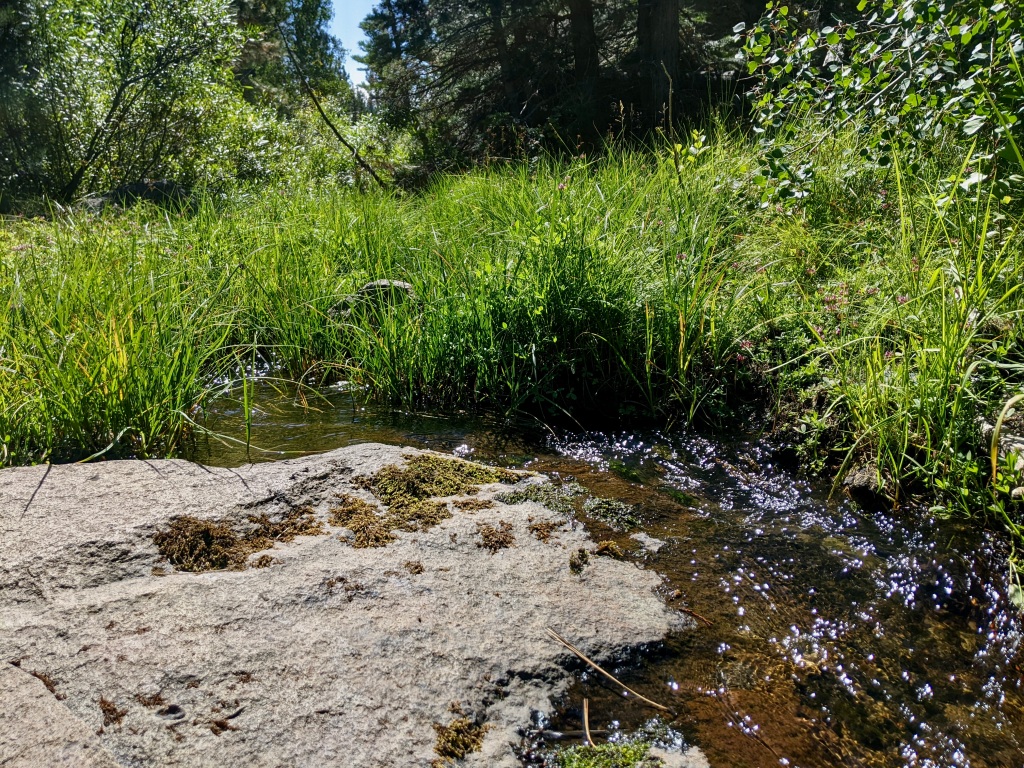
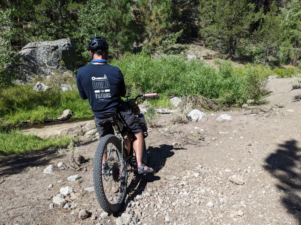
The next was the Leviathan Canyon landscape. The steep canyon was carved by Bryant Creek, fed by Leviathan Creek, Mountaineer Creek, and Poison Creek. We were in the trees, following mostly moderate grades with the occasional punchy climb. And coming from the desert we always had to stop and take pictures of the water.
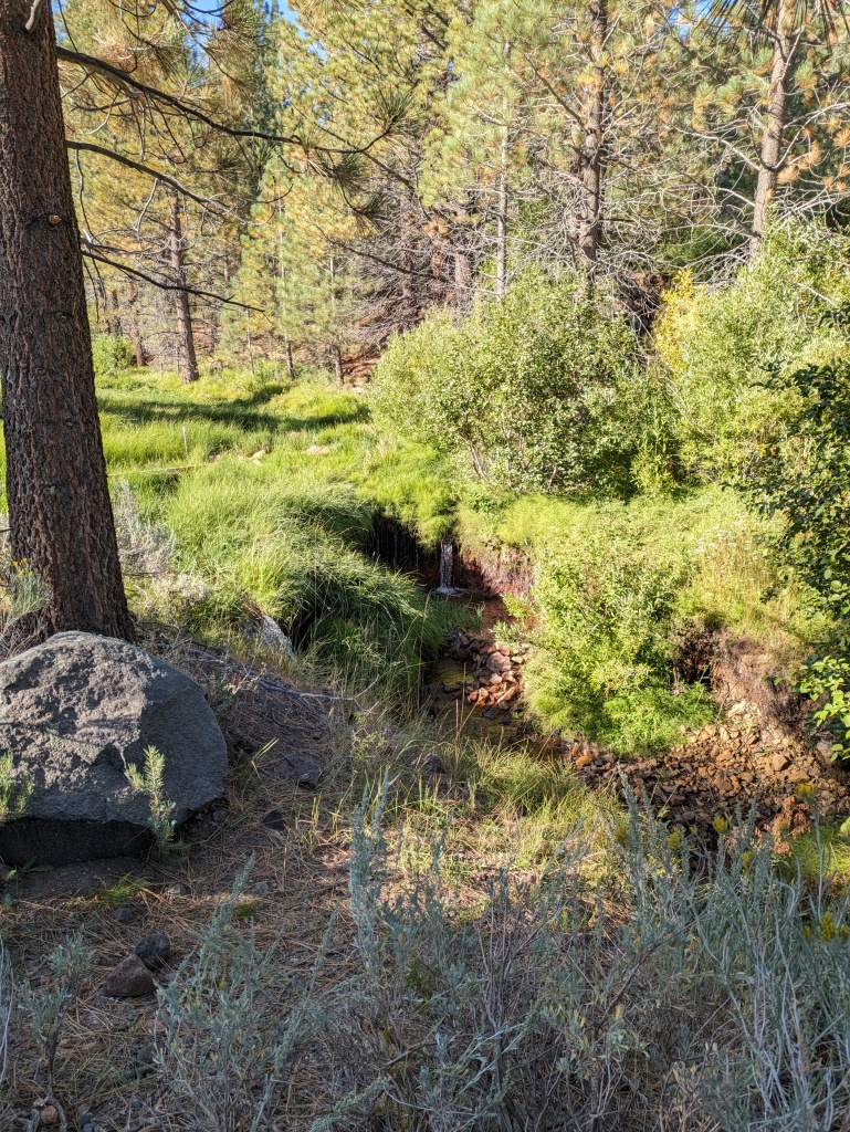
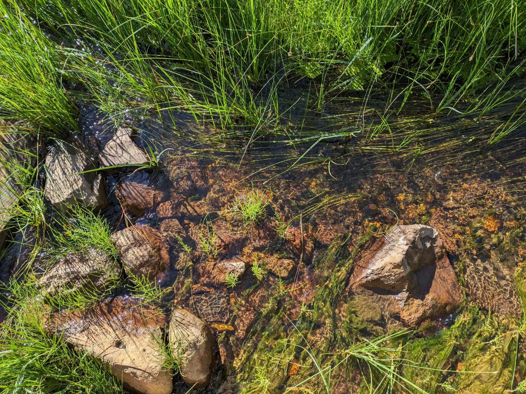
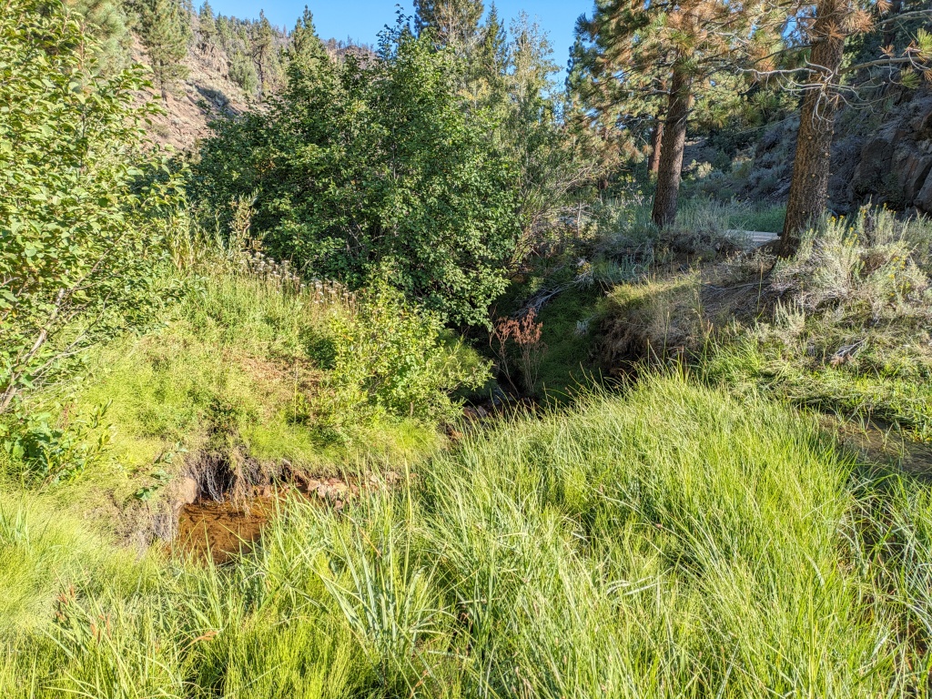
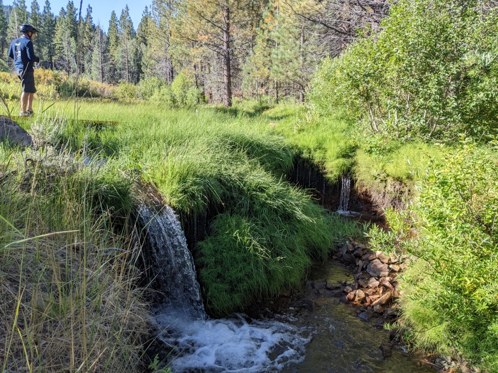
We made to entrance of the mine where they clearly posted no visitors. Our route had us follow signs around the mine to Aspen Seep. This unfortunately was just part of the superfund site. Eventually we wound our way around to the south entrance of the mine. Access here would be from Monitor Pass CA-89. As we were riding along the huge tailing mesa we saw a bear gadding about in the open.
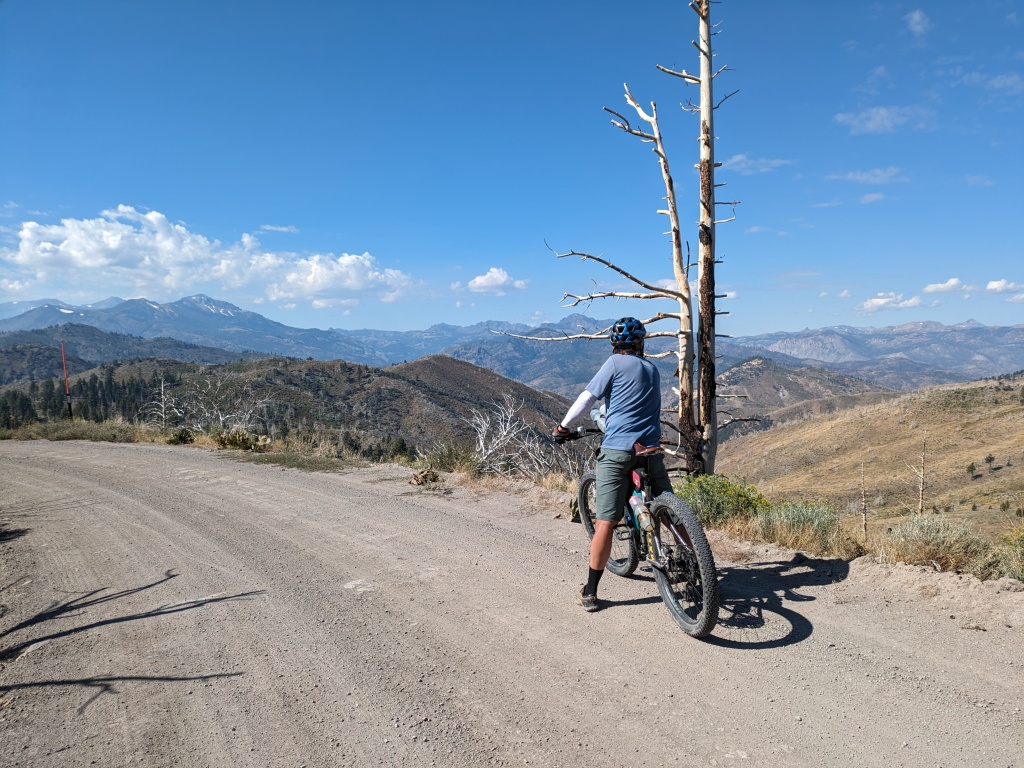
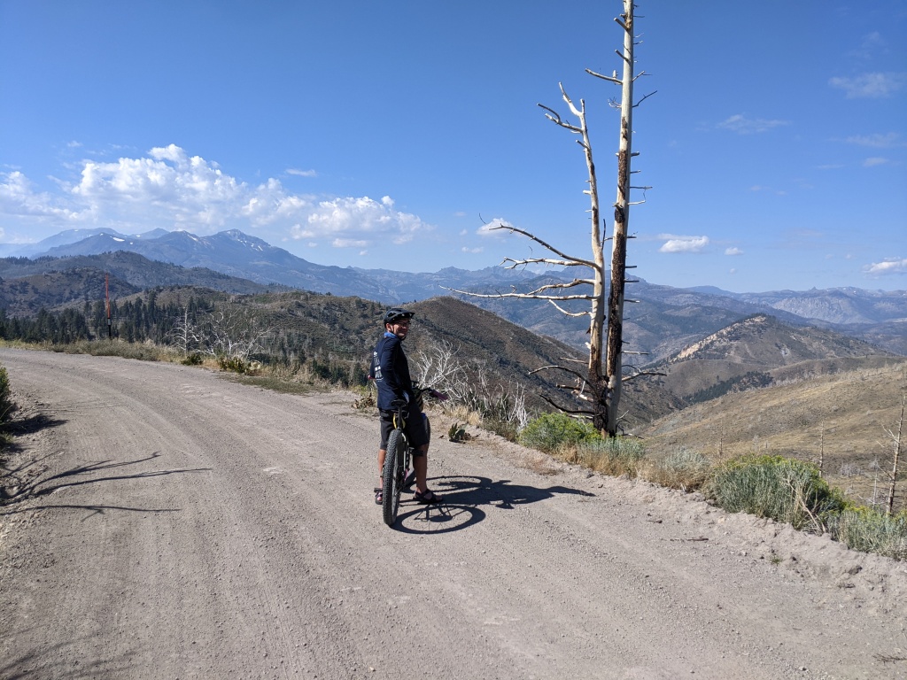
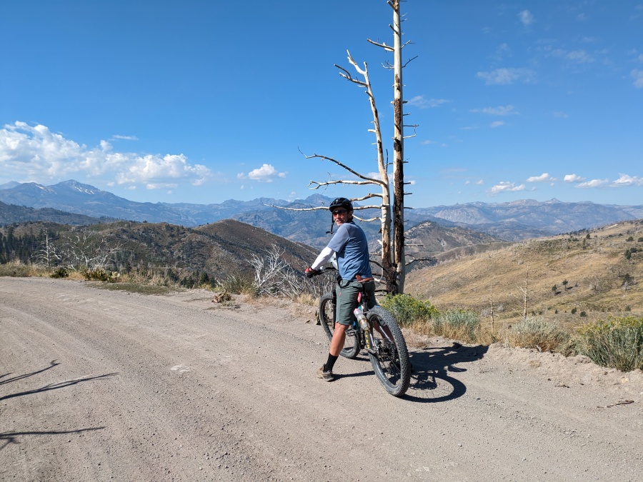
We veered southwest away from Leviathan Creek heading to Monitor Pass. Parts of the road were paved. The views we had into the Carson-Iceburg Wilderness were stunning. Doug was able to point out some peaks he had bagged over the years. The area to the south is a quilt of federal and state land managers, mostly which exclude bicycles. But this route is all within the Humboldt-Toiyabe National Forest.
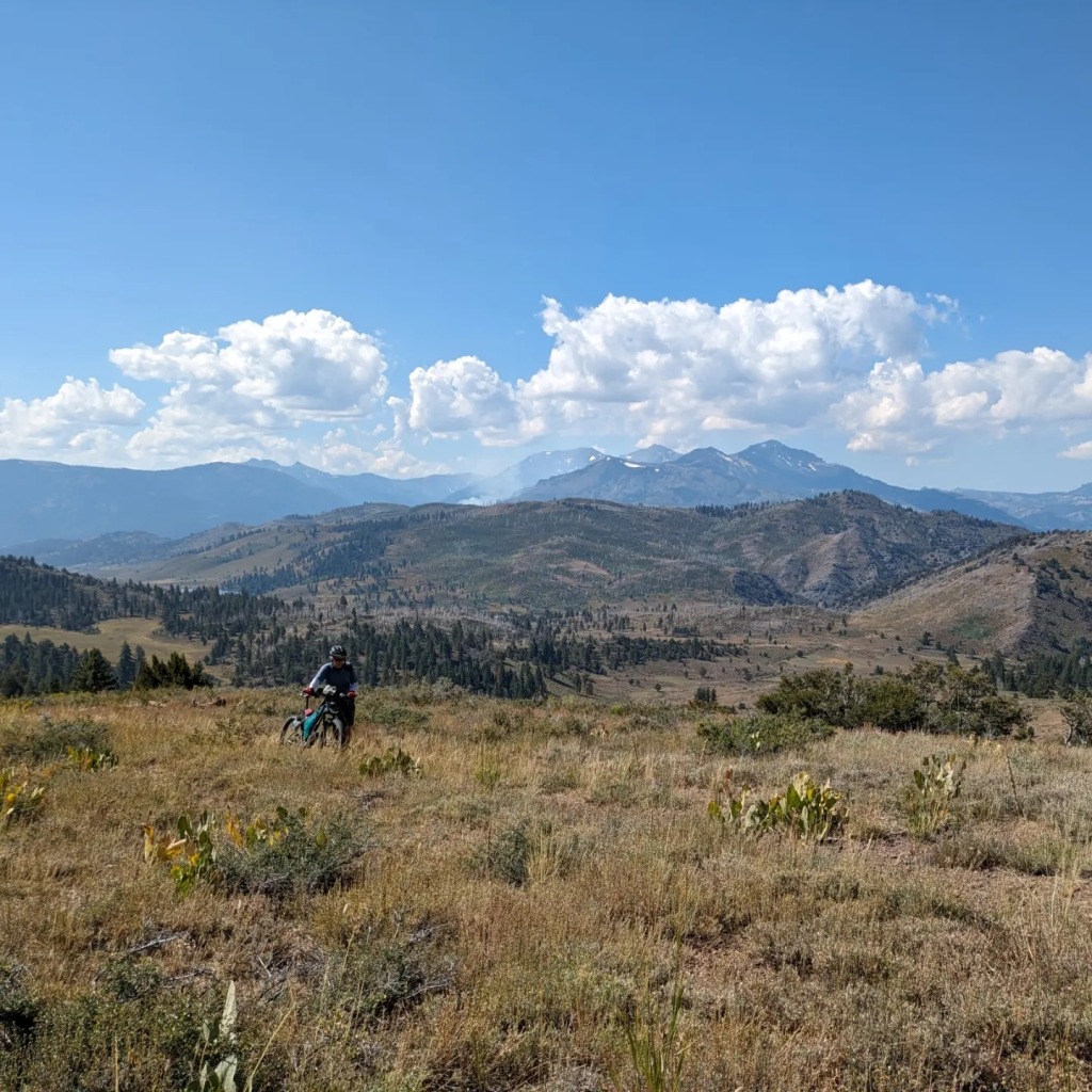
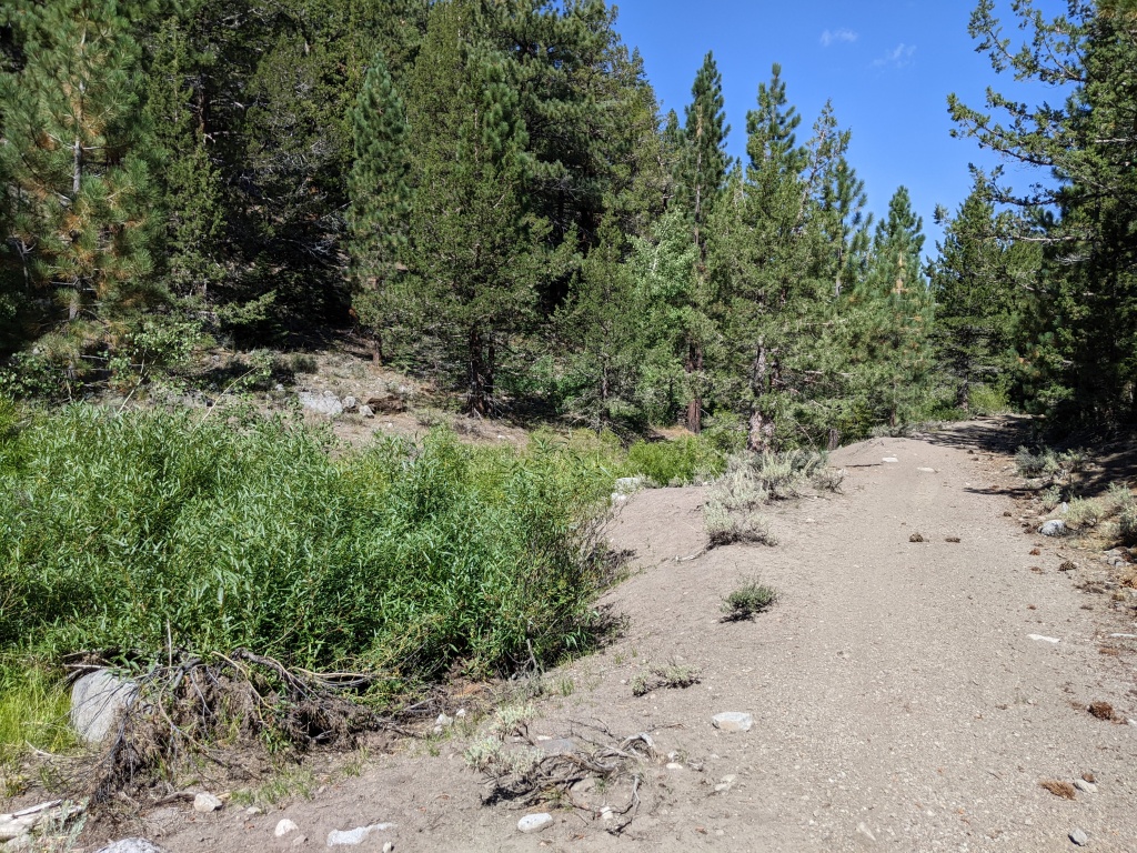
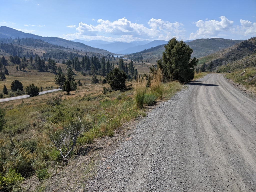
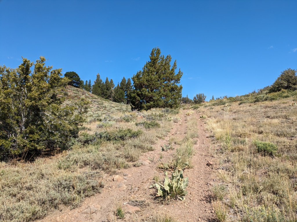
This led to our next observation, what a fantastic network of forest service roads! The Forest Service map to the Carson District is your ultimate guide. If I can’t find mine I know I can replace it locally. On Ride with GPS the USGS Topo base map includes the Forest Service road numbers. For example, Leviathan Mine Rd is road 052. After our short distance on CA 89 we looped back on 340B, 344, 050, and 050B. Forest service road numbers don’t mean much to the uninitiated but there were Carsonite markers confirming the roads we were on. There are plenty of roads to the east of where we looped back, but those that connect to Poison and Mountaineer Creeks as well as Leviathan Peak (8942’) interest me the most.
By the numbers we rode 32 miles with 3700’ of climbing. While we were on our touring mountain bikes with plus-sized tires, I recommend this area for gravel bikes as well. There were some sections that weren’t freshly graded but nothing too harsh. There is a short, less than one mile, section on the back side of the mine that was the roughest. While the distances and elevations were substantial we both felt surprisingly fresh at the end of the ride. The stair-step vs sustained nature of the elevation profile I am sure helped with that.
The opportunities for a wide variety of trips coupled with the ease of access ensures we will be back.
