
Note, This ride was February 17, 2020 and some how it ended up in my drafts not published. So here you go! After my last trip through Ione Valley I kept thinking how these rides might all sync up. The area between Fairview Pk and the Toquima Range deserves an Area Report!
I look for reasons to ride out of Middlegate. Middlegate is the self proclaimed middle of nowhere, in the middle of Nevada, off Highway 50, the Loneliest Road in America. Jumping off from here I have ridden through the Desatoya Mountains, Shoshone Range, Fairview Peak, and Clan Alpine Range. This ride satisfied a curiosity I had on my way to Berlin-Ichthyosaur State Park when I saw a sign to the Broken Hills and Quartz Mountain.

At the time I had no idea these were old mines. I just knew there were destinations worth noting with a sign pointing down a dirt road. I used a variety of maps to virtually explore the area but I did not create a route to follow with my GPS. I just parked at Middlegate and headed out on my gravel bike equipped with 700×40 Vittoria Torreno tires and a days worth of pedaling in my legs.
I was expecting nice weather. I was hoping for dry conditions on the dirt roads. Luckily at the start is was a crisp 17o F but with bright sunshine and no wind. Ultimately is was very comfortable riding conditions. The ride starts on tarmac with some traffic related to the mine in Gabbs, but after a rolling 17 mile start I came to my turn-off.

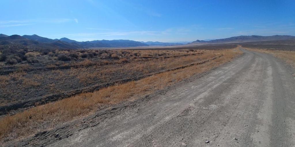
The dirt roads were in great shape. If the weather had been wetter the roads would be impassible mud. I have encountered it before in the area during a wetter winter and spring. Yet this has been one of the driest Februaries on record. My other fear was sand. It is not uncommon to encounter roads that follow washes that become a river of sand. Two and three inch wide tires will float above the sand where gravel tires just plow in. Luckily there were only a couple short sections like this on this route. They were all rideable and did not force a hike-a-bike.
I really enjoy the ghost town mine sites though I am by no means a historian or buff. I try to appreciate the challenges of making a living mining in the middle of nowhere. These two sites I have recommended to friends as places to explore because they are so accessible. From satellite views there seems to have been a lot going on around the main mine sites that are visible from boots on the ground.

Beyond taking a few photographs I didn’t have an agenda beyond the next turn in the road. Without a predetermined route I relied on memory and luck to create a loop through the desert. One option was to head south to Gabbs and loop around to the west. The other was to head east and tie into routes I had previously ridden. My goal was to maximize time on gravel roads so I headed east. Ultimately I don’t think there are any bad choices out here. Nevada is the buffet of dirt road exploration, you can always come back for seconds.

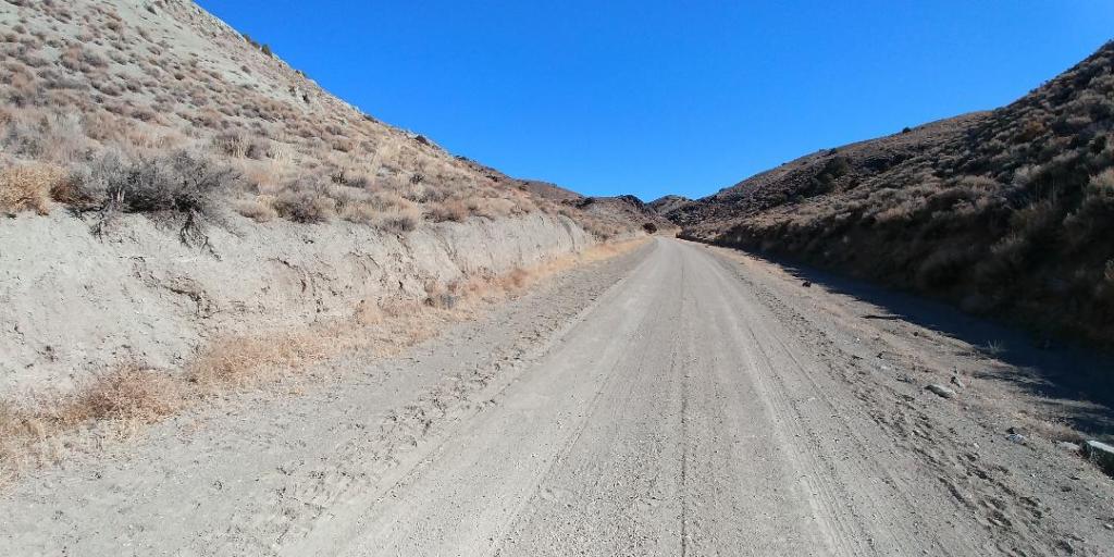
There is still more to explore in the Broken Hills. I was thinking to myself, I could come out here, set up a base camp and explore for days. I was headed for the north end of the Paradise Range across Lodi Valley. There seems to be few roads through the range, I had been over the southern paved route, a butt kicker of a climb. The Paradise Range would be worth circumnavigating and poking in at any opportunity. But my target now was a road over Burnt Cabin Summit.

Lodi Valley gave me the option of heading south to Gabbs. This would take me past at least one ranch. I have followed the Gabbs Highway south, in the future this would give me a dirt option. There isn’t an overabundance of dirt road options in the area, another day trip could fill in the map.


From the top of Lodi Valley I climbed a good road to Burnt Cabin Summit. Fires must have been a major threat to cabins as the is another Burnt Cabin namesake 17 miles across the Ione Valley. There is no lack of ambiguity in place naming in this area.

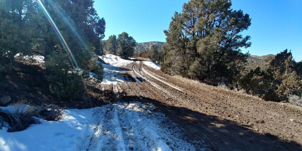
From Burnt Cabin Summit to Buffalo Summit the road made enough twist and turns that there were aspects in the shade resulting in snow melt and clay mud. I tip-toed through the worst of it and came out on the other side ok.
The return via NV 722 takes you past a wildlife viewing area. The dirt roads take you past several streams to the edge of the Desatoya Mountains Wilderness Study area. I followed dirt frontage road parallel to US 50 just west of the geological feature called Middlegate back to Middlegate Station. While this may not be the “Loneliest Gravel in America” you can ride for hundreds of miles between Fallon and Austin and be alone with your bike and thoughts for days or weeks on end.


I sympathize with your mud issue. We were once caught out in the desert in a steady rain that turned a normally fast track into an impassable situation. The mud so quickly clogged up the forks and chains that we had to abandon bikes and hike out, only to return days later with the Jeep to claim the abandoned steeds. By then the mud had become “desert concrete.”
Love those old mines. Nice post.
Pingback: Bike Your Park 2022: Swim with the Ichthyosaurs in a Sea of Sagebrush – Bikepacking Northern Nevada